Kootenai River Boat Ramp
- Apr–Jun, Sep–Oct
- best months
Is Kootenai River Boat Ramp open right now?
Closure in the area
There's a closure order in Three Rivers Ranger District. It doesn't name Kootenai River Boat Ramp, so check the source for the area it covers (2 listed).
Ross Creek Cedars Road Closure & Storm Damage Update
Agency closure covering Three Rivers Ranger District · Order 01-14-04-26-08 · USFS · Three Rivers Ranger District
Kootenai Flood Event & Inaccessible Areas
Agency closure covering Kootenai National Forest · USFS · Kootenai National Forest
Updated Skillet Fire Area, Road, Trail Closure
Agency alert covering Kootenai National Forest · Order 01-10- · USFS · Kootenai National Forest
Spar Lake Road #384 Road Closed to Motorized Vehicles
Agency alert covering Three Rivers Ranger District · Order 01-14-04-26-04 · USFS · Three Rivers Ranger District
As of · Source: USFS · Three Rivers Ranger District. Agencies don't list every closure — check before you go.
Kootenai River Boat Ramp is a boat launch in the Three Rivers Ranger District of Montana's Kootenai National Forest, about 0.7 miles from the town of Troy. It is a put-in point on the Kootenai River, close to town and easy to reach for a day of time on the water. Summer is the most comfortable season for a visit. Typical averages from the Troy weather station, about a mile away, put July highs near 87°F with lows around 49°F, and August and September run slightly cooler. Winters are cold, with January highs around 33°F and lows near 23°F. Several other outdoor options sit within a short drive. Troy Walking Path is about 0.9 miles away and Callahan Historic Trail about 1.6 miles. Paddlers can also head to Callahan Creek, about 3.4 miles off, and campers will find Yaak River Campground (MT) roughly 7.3 miles away.
- Troy Walking PathHiking0.9 mi
- Callahan Historic TrailHiking1.6 mi
- Alvord LakeHiking2.1 mi
- Callahan CreekCanoeing3.4 mi
- Yaak Mtn. Lookout RentalCamping6.4 mi
- Lake CreekCanoeing7.1 mi
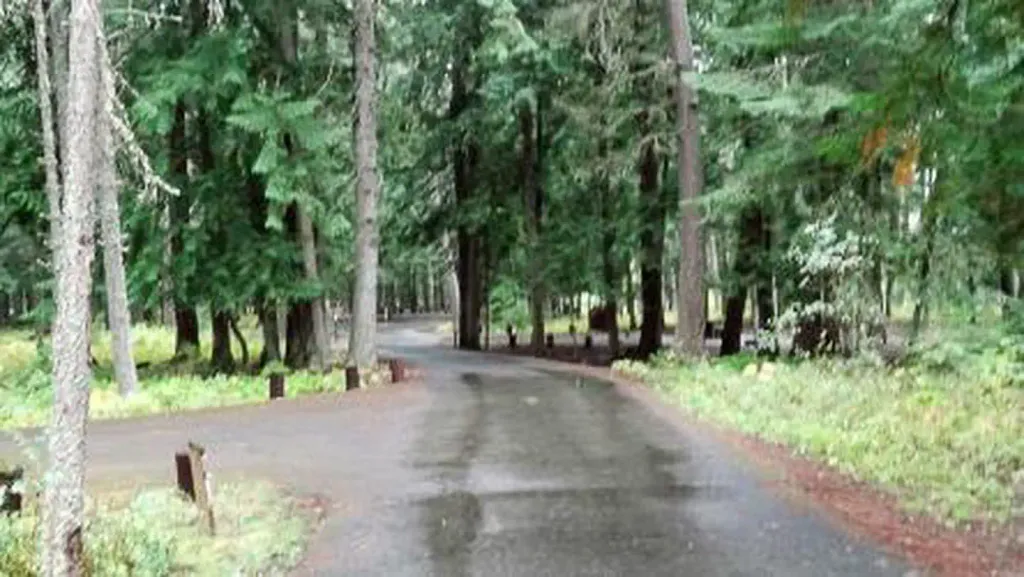 Yaak River Campground (MT)CampingPhoto: Recreation.gov (RIDB) / public domain7.3 mi
- Yaak RiverCamping7.4 mi
Source: Roamze catalog (indexable pages within 10 miles, PostGIS distance)
 Moyie RiverCanoeing · ~43 min drivePhoto: Public domain (via Wikimedia Commons)
- Kilbrennan Lake Boating SiteBoat launch · ~15 min drive
- Snyder Guard StationFloat trip · ~54 min drive
- Koocanusa AreaTubing · ~1h 5m drive
 Yaak RiverCanoeing · ~59 min drivePhoto: Davidmcarson, CC BY-SA 4.0 (via Wikimedia Commons)
- Dorr Skeels Boating SiteBoat launch · ~24 min drive
- Yaak River CampgroundFloat trip · ~12 min drive
- Callahan CreekCanoeing · ~6 min drive
- Spar Lake Boating SiteBoat launch · ~24 min drive
- Lake CreekCanoeing · ~12 min drive
Best time to visit Kootenai River Boat Ramp
Best months: April–June and September–October. Best months have typical highs of 55–85 °F, lows of 30 °F or warmer (32 °F where the station doesn't record snow), at most one snowy day and no more than 12 wet days.
Jan
33° / 23°
13 wet
Feb
39° / 24°
10 wet
Mar
50° / 28°
11 wet
Apr
59° / 33°
9 wet
May
70° / 40°
10 wet
Jun
76° / 46°
10 wet
Jul
87° / 49°
6 wet
Aug
86° / 48°
5 wet
Sep
75° / 42°
6 wet
Oct
57° / 35°
9 wet
Nov
41° / 29°
13 wet
Dec
32° / 23°
13 wet
Typical high / low (°F) and days with rain or snow, 1991–2020. Measured at Troy, MT, 1.1 mi away at 1,929 ft. This station doesn't record snowfall. Source: NOAA NCEI U.S. Climate Normals 1991–2020.


Map and trail data © OpenStreetMap contributors
