Frontier Trail
- 4.1 mi
- loop
- 15 ft
- climb
- 6,672 ft
- high point
- Loop
- route
- Jun–Aug
- best months
Frontier Trail is a 4.1-mile loop hike in Montana, about 0.4 miles from West Yellowstone. The Forest Service manages the land, and the trail is rated hard. The route is short in distance but steep, with a total elevation gain of 15 feet from a low point of 6,655 feet to a high of 6,672 feet. The trail surface is natural, and it is open to both horses and bikes. Summer is the most comfortable time to go. Typical averages from a nearby weather station show July highs around 80°F with lows near 39°F, while winter highs stay in the mid-20s. Several other outings sit right next to the trail. Rendezvous and the In & Out cross-country ski route are each about 0.1 mile away, and Hebgen Lake District, a lake fishing area, is about 0.8 mile off. Bakers Hole Campground is about 3.2 miles away.
- RendezvousHiking0.1 mi
- In & OutCross-country skiing0.1 mi
- Purple Haze (Xc)Cross-country skiing0.1 mi
- Hebgen Lake DistrictLake fishing0.8 mi
- Bakers Hole CampgroundCamping3.2 mi
- South Fork Madison RiverCanoeing3.6 mi
- Cougar CreekCanoeing7.1 mi
- Basin Station CabinCamping7.2 mi
Source: Roamze catalog (indexable pages within 10 miles, PostGIS distance)
- Riverside Ski Trails Trailhead (WK9)Hiking · Next door
 Connector to Riverside Ski Trails TrailHiking · ~3 min drivePhoto: sterferg, CC BY-SA 3.0 (via Wikimedia Commons)
 HORSE BUTTE LOOP (SNOWMO)Hiking · ~13 min drivePhoto: Roebot, CC BY-SA 2.0 (via Flickr)
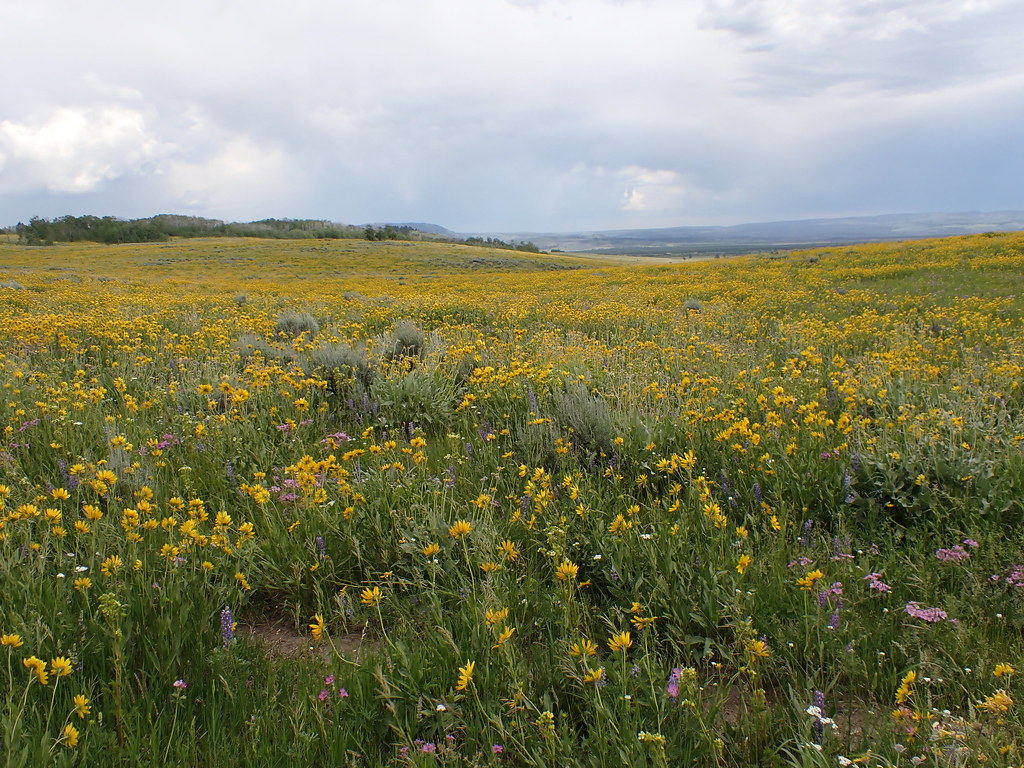 Gneiss Creek TrailHiking · ~16 min drivePhoto: Matt Lavin, CC BY-SA 2.0 (via Flickr)
- Mount Haynes Fishing PlatformHiking · ~16 min drive
- Up River LoopHiking · ~3 min drivePhoto: sterferg, CC BY-SA 3.0 (via Wikimedia Commons)
- Down River LoopHiking · ~3 min drive
- Yellowstone ShortlineHiking · Next door
- Gneiss Creek (WK7)Hiking · ~16 min drive
- South Boundary TrailHiking · ~1 min drivePhoto: sterferg, CC BY-SA 3.0 (via Wikimedia Commons)
Best time to visit Frontier Trail
Best months: June–August. Best months have typical highs of 55–85 °F, lows of 30 °F or warmer (32 °F where the station doesn't record snow), at most one snowy day and no more than 12 wet days.
Jan
27° / 0°
Feb
31° / 1°
Mar
40° / 9°
Apr
48° / 21°
May
59° / 29°
Jun
68° / 34°
Jul
80° / 39°
Aug
78° / 36°
Sep
68° / 30°
Oct
51° / 21°
Nov
36° / 11°
Dec
26° / 3°
Typical high / low (°F) and days with rain or snow, 1991–2020. Measured at W Yellowstone Gateway, MT, 0.9 mi away at 6,679 ft. This station doesn't record snowfall. Source: NOAA NCEI U.S. Climate Normals 1991–2020.
