Drop Creek
- 14.9 mi
- round trip
- 54 ft
- climb
- 8,166 ft
- high point
- Out and back
- route
Is Drop Creek open right now?
Alert in the area
The Forest Service lists 2 alerts for Bitterroot National Forest.
Pile burning on West Fork Ranger, Darby-Sula & Stevi Nov. 16 to 19
Agency alert covering Bitterroot National Forest · USFS · Bitterroot National Forest
Two Prescribed Burns Planned for the week of Oct. 5 - Piquett Creek & Cameron Gap
Agency alert covering Bitterroot National Forest · USFS · Bitterroot National Forest
As of · Source: USFS · Bitterroot National Forest. Agencies don't list every closure — check before you go.
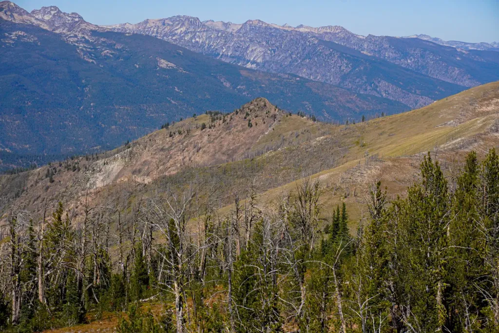
Drop Creek is an easy hike in Montana's Sula Ranger District of the Bitterroot National Forest. The trail is 14.9 miles long, and it's an out-and-back with a low point of 6,676 feet and a high of 8,166 feet. The elevation gain is 54 feet one way, so the whole trip adds up to about 108 feet. The route runs on natural ground, and the Forest Service manages the land. It's a straightforward outing, and the short climb makes it easy to fit into a longer day on the forest. Several other destinations sit within a few miles. Capri Lake, Shields Creek and Straight are all about 3.3 miles away. For an overnight, Twogood Cabin is 5.5 miles off.
- Capri LakeHiking3.3 mi
- Shields CreekHiking3.3 mi
- StraightHiking3.3 mi
- Twogood CabinCamping5.5 mi
 Medicine Point LookoutCampingPhoto: Recreation.gov (RIDB) / public domain6 mi
- Slate Creek CampgroundCamping6.8 mi
- Warm Springs CreekCanoeing6.8 mi
- Hughes CreekCanoeing7.8 mi
Source: Roamze catalog (indexable pages within 10 miles, PostGIS distance)
- Capri LakeHiking · ~6 min drive
- StraightHiking · ~6 min drive
- North Side OverwhichHiking · ~7 min drive
- Shook Mountain-Medicine PointHiking · ~8 min drive
- BEAVERTAIL CREEKSHiking · ~10 min drive
- BUCK CREEKHiking · ~9 min drive
- Porcupine CreekHiking · ~8 min drive
- Colter CreekHiking · ~13 min drive
- Taylor CreekHiking · ~11 min drive
- Little BoulderHiking · ~9 min drive
