Loading…

Free — you'll pick up right here.
Watch this trail
Sign up to watch it — saving subscribes you to gate, closure and report changes.
Montana
9.7 mi
Distance
1,990 ft
Gain
4h 13m
Time
Agency alerts are in effect for this area; weather is good
2 factors · 2 sources
Newest 20 h ago · oldest 4 d
caution: Agency alerts
2 active alerts in Bitterroot National Forest; most severe: OPEN: Lost Horse Road, Lick Creek Road, 711 Road, 75 Road are open. FS Road 720 Remains Closed
USFS4 d ago
clear: Weather
Clear, high 65°F / low 50°F, 0% precip — 100/100 for hike
OpenWeather20 h ago
Been out here in the last few days? One report keeps this current for everyone.
Why you'll love it
Porcupine Creek
AI-suggested draft · review before you go
No permit or access details on file for this trail — check with the local land manager before you go.
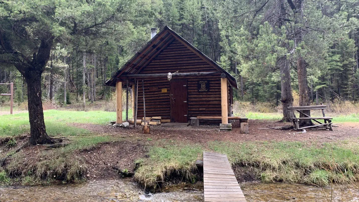
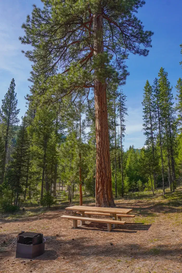
Porcupine Creek Trail is a moderate 9.68-mile round-trip hike gaining nearly 2,000 feet through Montana's scenic backcountry. This trail follows the creek drainage through mixed forest and alpine meadows, offering excellent opportunities to observe wildlife and enjoy cascading water features. The steady elevation gain and moderate distance make it an ideal choice for hikers seeking a full day adventure with rewarding views.
Fire Creek
~4 min drive
Moderate 9.2-mile creek-side hike with 1,457 ft elevation gain.
Capri Lake
~5 min drive
Easy 2-mile alpine lake hike with minimal elevation gain.
Shook Mountain-Medicine Point
~5 min drive
Moderate 5.7-mile hike to Shook Mountain and Medicine Point with scenic views.
Shields Creek
~5 min drive
Moderate 11.96-mile creek drainage hike with 1,343 ft elevation gain.
Porcupine Saddle
~7 min drive
Quick ascent to a scenic mountain saddle with panoramic views.
Snow Trail 1260
~12 min drive
Easy 3.3-mile Montana trail with 298 ft elevation gain.
Warm Springs Ridge
~6 min drive
Long ridge traverse with minimal elevation gain in remote Montana backcountry.
Eastside Piquett
~14 min drive
Short, steady climb with 425 ft gain near Piquett—perfect for a quick Montana hike.
Straight
~13 min drive
Moderate 5.8-mile hike with 323 ft elevation gain in central Montana.
Warm Springs Creek
~7 min drive
17-mile creek drainage hike with steady elevation gain through forested Montana backcountry.