Shook Mountain-Medicine Point
- 5.7 mi
- round trip
- 4,511 ft
- climb
- 8,012 ft
- high point
- Out and back
- route
Caution today
Agency alerts are in effect for this area; weather is good · USFS, OpenWeather · checked 7 h ago
Is Shook Mountain-Medicine Point open right now?
Alert in the area
The Forest Service lists 2 alerts for Bitterroot National Forest.
Pile burning on West Fork Ranger, Darby-Sula & Stevi Nov. 16 to 19
Agency alert covering Bitterroot National Forest · USFS · Bitterroot National Forest
Two Prescribed Burns Planned for the week of Oct. 5 - Piquett Creek & Cameron Gap
Agency alert covering Bitterroot National Forest · USFS · Bitterroot National Forest
As of · Source: USFS · Bitterroot National Forest. Agencies don't list every closure — check before you go.
Shook Mountain-Medicine Point is an out-and-back hike in the Sula Ranger District of Montana's Bitterroot National Forest, managed by the Forest Service. The route is 5.7 miles long, with a total elevation gain of 4,511 feet, and it is rated expert. The trail's natural surface and steep grade make it a serious climb, with the steepest stretch at about 1.5 miles in, where the grade reaches 34 percent. The hike starts at a low point of 6,127 feet and climbs to a high point of 8,012 feet. That makes it a full-day outing, and the trip is estimated to take about four hours. Wiles Peak sits just 0.3 miles away, and Castle Creek is about 1.3 miles off. Medicine Point Lookout, a campground, is 1.4 miles away, and Crazy Creek Campground is 2.4 miles away.
- Wiles PeakHiking0.3 mi
- CASTLE CREEKHiking1.3 mi
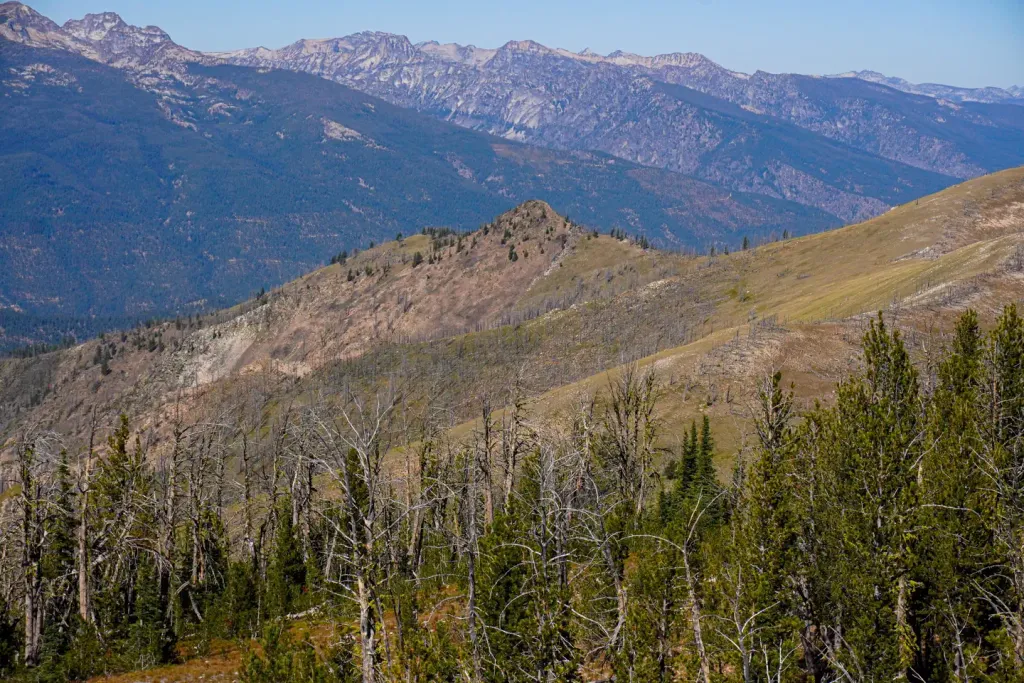 Medicine Point LookoutCampingPhoto: Recreation.gov (RIDB) / public domain1.4 mi
- Fire CreekHiking1.9 mi
- Warm Springs CreekCanoeing2.4 mi
- Crazy Creek CampgroundCamping2.4 mi
- Porcupine CreekHiking3.1 mi
- Twogood CabinCamping3.5 mi
Source: Roamze catalog (indexable pages within 10 miles, PostGIS distance)
 Reimal Tolan DivideHiking · ~14 min drivePhoto: footloosiety, CC BY 2.0 (via Flickr)
- CASTLE CREEKHiking · ~2 min drive
- MOON CREEKHiking · ~6 min drive
- Reimel CreekHiking · ~15 min drivePhoto: footloosiety, CC BY 2.0 (via Flickr)
- BEAR CREEKHiking · ~6 min drive
- MOON CREEKHiking · ~7 min drive
- Wiles PeakHiking · Next door
- MOON CREEKHiking · ~6 min drive
- Capri LakeHiking · ~8 min drive
- Fire CreekHiking · ~3 min drive
