Straight
- 5.8 mi
- round trip
- 323 ft
- climb
- 6,807 ft
- high point
- Out and back
- route
Is Straight open right now?
Alert in the area
The Forest Service lists 4 alerts for Bitterroot National Forest.
Pile burning on West Fork Ranger, Darby-Sula & Stevi Nov. 16 to 19
Agency alert covering Bitterroot National Forest · USFS · Bitterroot National Forest
Pile burning on West Fork Ranger District end of October
Agency alert covering West Fork Ranger District · USFS · West Fork Ranger District
Pile burning on West Fork Ranger District Oct. 26
Agency alert covering West Fork Ranger District · USFS · West Fork Ranger District
Two Prescribed Burns Planned for the week of Oct. 5 - Piquett Creek & Cameron Gap
Agency alert covering Bitterroot National Forest · USFS · Bitterroot National Forest
As of · Source: USFS · Bitterroot National Forest. Agencies don't list every closure — check before you go.
Straight is a 5.8-mile out-and-back hike in the West Fork Ranger District of Bitterroot National Forest in western Montana. The trail is a moderate walk with a total elevation gain of 323 feet, rising from about 6,464 feet to roughly 6,807 feet at the high point before returning. The Forest Service manages the surrounding land. Summer is the most comfortable time to go. Typical averages from the nearby Wisdom weather station run from highs near 78°F in July to around 68°F in September, with July and August lows in the upper 30s. That station sits several hundred feet lower than the trail's high point, so temperatures up top run cooler. Kyke Creek lies about 1.3 miles away, and North Side Overwhich is 1.8 miles off. For an overnight stay, Slate Creek Campground is about 5.6 miles from the trail. Paddlers can find Hughes Creek roughly 4.5 miles away.
- KYKE CREEKHiking1.3 mi
- North Side OverwhichHiking1.8 mi
- Overwhich CreekHiking2.9 mi
- Hughes CreekCanoeing4.5 mi
- Slate Creek CampgroundCamping5.6 mi
- Slate Creek Campground - Back LoopCamping5.6 mi
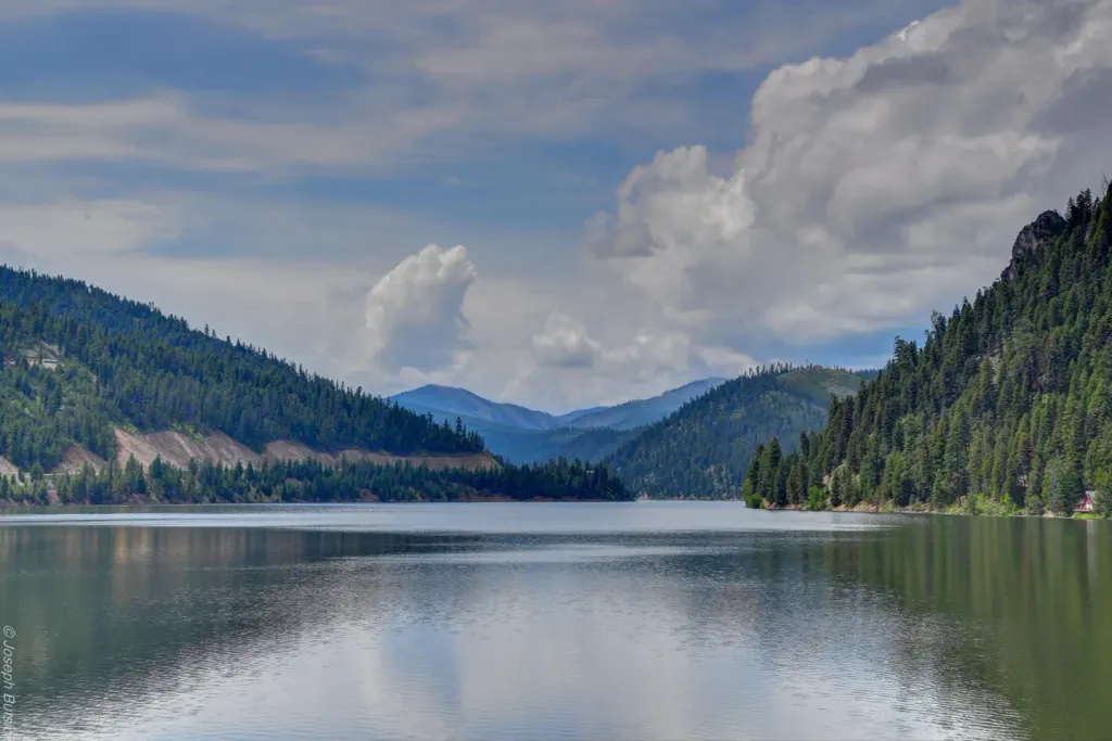 Alta CampgroundCampingPhoto: Recreation.gov (RIDB) / public domain7.4 mi
- West Fork Bitterroot RiverCanoeing9.6 mi
Source: Roamze catalog (indexable pages within 10 miles, PostGIS distance)
- North Side OverwhichHiking · ~3 min drive
- Taylor CreekHiking · ~5 min drive
- Drop CreekHiking · ~6 min drive
- Shook Mountain-Medicine PointHiking · ~14 min drive
- Overwhich CreekHiking · ~5 min drive
- TAYLOR CREEKHiking · ~6 min drive
- Capri LakeHiking · ~9 min drive
- GENTILE CREEKHiking · ~5 min drive
- HUGHES CREEKHiking · ~12 min drive
- TOOK CREEKHiking · ~12 min drive
