Deep creek downhill bike trail
- 1.3 mi
- round trip
- 967 ft
- climb
- 3,847 ft
- high point
- Out and back
- route
- May–Oct
- best months
Is Deep creek downhill bike trail open right now?
Alert in the area
The Forest Service lists an alert for Lolo National Forest.
East Fork Big Creek Road & Trail Closure- Superior Ranger District
Agency alert covering Lolo National Forest · Order 26-003- · USFS · Lolo National Forest
As of · Source: USFS · Lolo National Forest. Agencies don't list every closure — check before you go.
Deep Creek Downhill Bike Trail is an out-and-back route in Montana's Lolo National Forest, within the Missoula Ranger District, about 1.9 miles from the town of Primrose. The trail is rated easy and runs about 2.5 miles from start to finish, with the high point at 3,847 feet and the lowest point at 3,246 feet. That puts the climb of roughly 967 feet in the round trip, with the steepest stretch of 20% grade coming at about 0.4 miles in from the trailhead. The trail is a downhill ride, so it's a natural choice for mountain bikers heading out from Primrose. It's also a short trip, with the estimated time about 1.5 hours. For comfortable weather, aim for late spring through early fall. Typical averages from a nearby weather station in Missoula put June highs around 73°F and September highs around 73°F, with July the warmest month at about 85°F. That station sits roughly 655 feet lower than the trail's high point, so temperatures on the route run cooler. Nearby options include the North O'Brien Loop, about 5 miles away, and the Blue Mountain National Recreation Trail, about 7 miles out, along with Albert Point and Albert Creek, both hikes roughly 7 miles from the trail.
Local outfitters
- Granite Peak RV Resort4 mi away
Not on Roamze yet. Their page has how to reach them.
- North O'brien LoopHiking5.1 mi
- Blue Mountain National Recreation TrailMountain biking7.1 mi
- Blue Mtn Horse/hiker Nrt TieMountain biking7.2 mi
- Hayes Point CutoffMountain biking7.2 mi
- Albert PointHiking7.2 mi
- Blue Mountain NatureMountain biking7.2 mi
- Albert CreekHiking7.3 mi
- Hayes Point LoopMountain biking7.4 mi
Source: Roamze catalog (indexable pages within 10 miles, PostGIS distance)
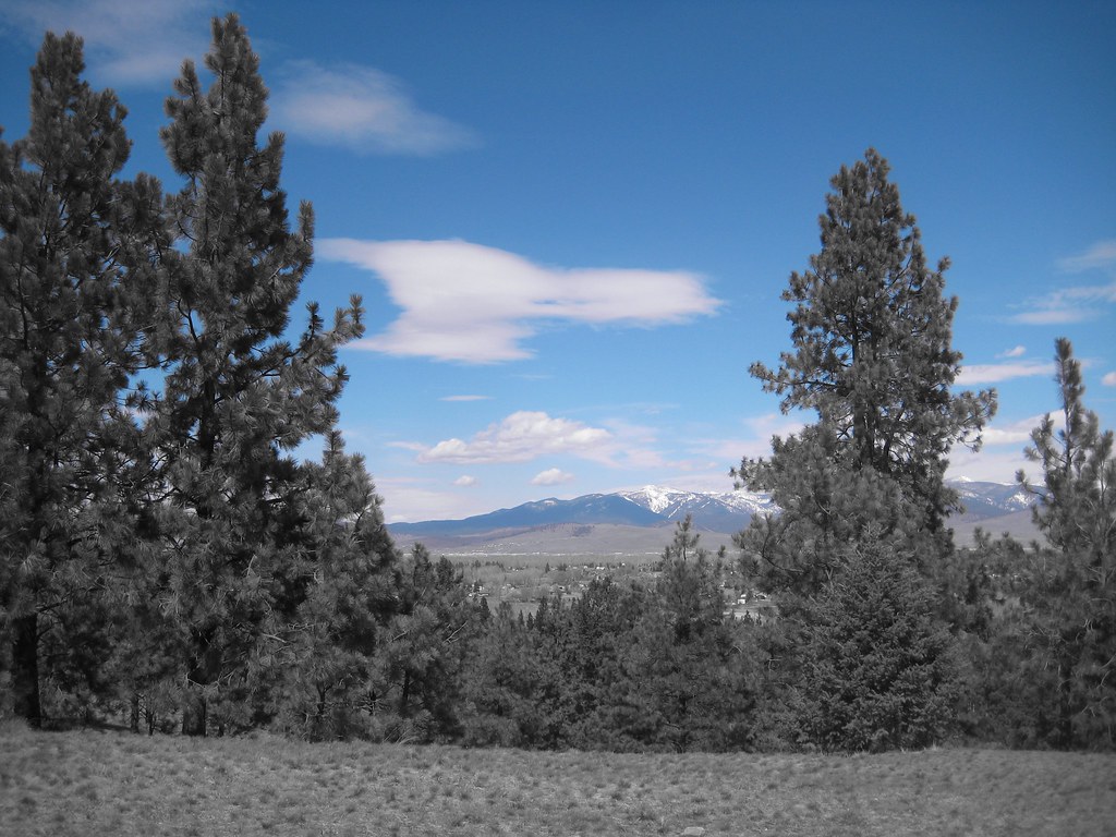 HAYES POINT CUTOFFHiking · ~13 min drivePhoto: Evan-Lovely, CC BY-SA 2.0 (via Flickr)
- BLUE MTN HORSE/HIKER/BIKEHiking · ~13 min drivePhoto: Evan-Lovely, CC BY-SA 2.0 (via Flickr)
- North O'brien LoopHiking · ~9 min drive
- Blue Mountain Horse/hiker AHiking · ~14 min drive
- BLUE MTN HORSE/HIKER NRT TIEHiking · ~13 min drivePhoto: Evan-Lovely, CC BY-SA 2.0 (via Flickr)
 Maclay Flat Nature LoopHiking · ~13 min drivePhoto: Evan-Lovely, CC BY-SA 2.0 (via Flickr)
- Albert PointHiking · ~12 min drive
- Blue Mountain Bike Spur 2Hiking · ~15 min drive
- BLUE MOUNTAIN BIKE SPUR 1Hiking · ~14 min drivePhoto: Evan-Lovely, CC BY-SA 2.0 (via Flickr)
 BLUE MTN M/C DEADMAN RIDGEHiking · ~14 min drivePhoto: Evan-Lovely, CC BY-SA 2.0 (via Flickr)
Best time to visit Deep creek downhill bike trail
Best months: May–October. Best months have typical highs of 55–85 °F, lows of 30 °F or warmer (32 °F where the station doesn't record snow), at most one snowy day and no more than 12 wet days.
Jan
32° / 18°
13 wet · 10 snow
Feb
37° / 21°
11 wet · 8 snow
Mar
48° / 27°
11 wet · 5 snow
Apr
56° / 32°
11 wet · 2 snow
May
66° / 40°
12 wet
Jun
73° / 46°
12 wet
Jul
85° / 51°
7 wet
Aug
84° / 50°
6 wet
Sep
73° / 42°
7 wet
Oct
56° / 32°
10 wet · 1 snow
Nov
40° / 25°
11 wet · 5 snow
Dec
31° / 18°
12 wet · 9 snow
Typical high / low (°F) and days with rain or snow, 1991–2020. Measured at Missoula Intl Ap, MT, 5.4 mi away at 3,192 ft. The station sits about 700 ft lower than this place, so expect it a little cooler here. Source: NOAA NCEI U.S. Climate Normals 1991–2020.

Map and trail data © OpenStreetMap contributors
