Maclay Flat Nature Loop
 Photo: Evan-Lovely, CC BY-SA 2.0 (via Flickr)
- 1.8 mi
- loop
- 9 ft
- climb
- 3,123 ft
- high point
- Loop
- route
- May–Oct
- best months
Is Maclay Flat Nature Loop open right now?
Alert in the area
The Forest Service lists an alert for Lolo National Forest.
East Fork Big Creek Road & Trail Closure- Superior Ranger District
Agency alert covering Lolo National Forest · Order 26-003- · USFS · Lolo National Forest
As of · Source: USFS · Lolo National Forest. Agencies don't list every closure — check before you go.
Maclay Flat Nature Loop is a 1.8-mile loop in the Missoula Ranger District of Lolo National Forest in western Montana. The trail is a moderate walk with almost no elevation gain, rising from about 3,113 feet to 3,123 feet over the course of the loop. It is managed by the Forest Service and sits on a gravel surface, and the trailhead is called the Blue Mountain Road Trailhead. The route stays low, with a total climb of 9 feet. It works well as a short outing on a day spent exploring the surrounding mountain biking and hiking in the Blue Mountain area. The trip takes about half an hour, and the trail is open year-round. For comfortable weather, summer is the warmest stretch. Typical averages from the nearby Missoula airport weather station run to highs around 85°F in July, with fewer wet days than the rest of the year. Winters are cold, with January highs near 32°F and several snowy days each month from November through March. The Maclay Flat Boatramp is about 0.1 mile away, and the Fairway and Blue Mtn Nrt Cutoff B mountain biking routes are each about 0.3 mile off. For a picnic, Pattee Canyon Picnic Area is about 3 miles away.
Local outfitters
- Granite Peak RV Resort9 mi away
Not on Roamze yet. Their page has how to reach them.
Best time to go · May–Oct
Best time to visit Maclay Flat Nature Loop
Best months: May–October. Best months have typical highs of 55–85 °F, lows of 30 °F or warmer (32 °F where the station doesn't record snow), at most one snowy day and no more than 12 wet days.
Jan
32° / 18°
13 wet · 10 snow
Feb
37° / 21°
11 wet · 8 snow
Mar
48° / 27°
11 wet · 5 snow
Apr
56° / 32°
11 wet · 2 snow
May
66° / 40°
12 wet
Jun
73° / 46°
12 wet
Jul
85° / 51°
7 wet
Aug
84° / 50°
6 wet
Sep
73° / 42°
7 wet
Oct
56° / 32°
10 wet · 1 snow
Nov
40° / 25°
11 wet · 5 snow
Dec
31° / 18°
12 wet · 9 snow
Typical high / low (°F) and days with rain or snow, 1991–2020. Measured at Missoula Intl Ap, MT, 5.9 mi away at 3,192 ft. Source: NOAA NCEI U.S. Climate Normals 1991–2020.
Keep exploring — more trails worth the drive
Photo: Evan-Lovely, CC BY-SA 2.0 (via Flickr)BLUE MOUNTAIN BIKE SPUR 1
Next door
2.16-mile out-and-back trail in Montana with 230 ft elevation gain.
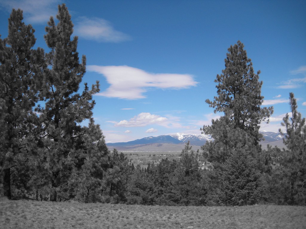 Photo: Evan-Lovely, CC BY-SA 2.0 (via Flickr)
BLUE MTN HORSE/HIKER/BIKE
~1 min drive
3.02-mile out-and-back trail in Montana with 1,097 ft elevation gain
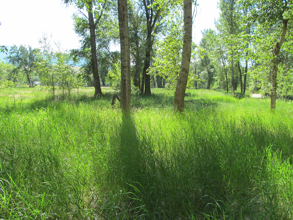 Photo: reverendlukewarm, CC BY-SA 2.0 (via Flickr)
bitteroot runoff trail
~8 min drive
12.2-mile out-and-back trail in Montana with 2,795 ft elevation gain
HIKE
Blue Mountain Horse/hiker A
~1 min drive
0.96-mile out-and-back trail in Montana with 162 ft of elevation gain.
 Photo: Evan-Lovely, CC BY-SA 2.0 (via Flickr)
BLUE MTN NRT CUTOFF A
Next door
2.0-mile out-and-back trail in Montana with 455 ft elevation gain
Photo: Evan-Lovely, CC BY-SA 2.0 (via Flickr)Blue Mountain Bike B
~2 min drive
4.03-mile out-and-back trail in Montana with 756 ft gain.
HIKE
BLUE MOUNTAIN LOOKOUT MC
~3 min drive
7.58-mile out-and-back trail in Montana with 2,962 ft elevation gain and loss.
HIKE
Blue Mountain Bike Spur 2
~2 min drive
0.88-mile out-and-back trail with 42 ft gain in Montana.
Photo: Evan-Lovely, CC BY-SA 2.0 (via Flickr)BLUE MTN HORSE/HIKER - BIKE A
~1 min drive
1.28-mile out-and-back trail in Montana with 319 ft elevation gain.
 Photo: Charles Nadeau from San Mateo, CA, CC BY 2.0 (via Wikimedia Commons)
US West trail
~11 min drive
2.98-mile out-and-back trail in Montana with 2,350 ft elevation gain.

