Blue Mountain Bike Spur 1
 Photo: Evan-Lovely, CC BY-SA 2.0 (via Flickr)
- 1.1 mi
- round trip
- 230 ft
- climb
- 3,381 ft
- high point
- Out and back
- route
- May–Oct
- best months
Is BLUE MOUNTAIN BIKE SPUR 1 open right now?
Alert in the area
The Forest Service lists an alert for Lolo National Forest.
East Fork Big Creek Road & Trail Closure- Superior Ranger District
Agency alert covering Lolo National Forest · Order 26-003- · USFS · Lolo National Forest
As of · Source: USFS · Lolo National Forest. Agencies don't list every closure — check before you go.
Blue Mountain Bike Spur 1 is a short, easy out-and-back hike in the Missoula Ranger District of Lolo National Forest in western Montana, managed by the Forest Service. The route is about 2.2 miles long, with a total elevation gain of 230 feet, and it starts and ends at roughly 3,239 feet. The climb is front-loaded, with the steepest stretch at the beginning, about 8%, before the trail eases into a gentle return. Summer is the most comfortable time to go. Typical averages from the nearby Missoula airport weather station show July highs around 85°F with lows near 51°F, while winter brings highs around freezing and regular snow days from December through February. Several mountain biking routes sit about 0.2 miles away, including Blue Mtn Nrt Cutoff A and Argillite Cliffs. The Maclay Flat Nature Loop hike is about 0.3 miles off, and Pattee Canyon Picnic Area, about 3.2 miles away, offers a place to picnic.
Local outfitters
- Granite Peak RV Resort9 mi away
Not on Roamze yet. Their page has how to reach them.
- Blue Mtn Nrt Cutoff AMountain biking0.2 mi
- Blue Mountain Bike CMountain biking0.2 mi
- Blue Mtn Hiking & EquestrianMountain biking0.2 mi
- Argillite CliffsMountain biking0.2 mi
- Forest to FoothillsMountain biking0.2 mi
- Maclay Flat Nature LoopHikingPhoto: Evan-Lovely, CC BY-SA 2.0 (via Flickr)0.3 mi
- FairwayMountain biking0.3 mi
 Pattee Canyon Picnic AreaCampingPhoto: Recreation.gov (RIDB) / public domain3.2 mi
Source: Roamze catalog (indexable pages within 10 miles, PostGIS distance)
 BLUE MTN NRT CUTOFF AHiking · Next doorPhoto: Evan-Lovely, CC BY-SA 2.0 (via Flickr)
- Maclay Flat Nature LoopHiking · Next doorPhoto: Evan-Lovely, CC BY-SA 2.0 (via Flickr)
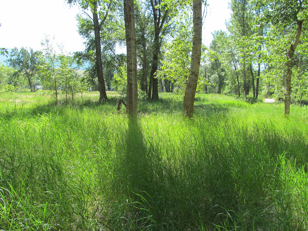 bitteroot runoff trailHiking · ~7 min drivePhoto: reverendlukewarm, CC BY-SA 2.0 (via Flickr)
- Blue Mountain Horse/hiker AHiking · Next door
- BLUE MTN HORSE/HIKER - BIKE AHiking · Next doorPhoto: Evan-Lovely, CC BY-SA 2.0 (via Flickr)
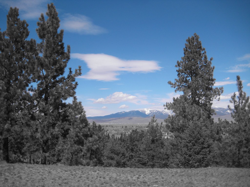 BLUE MTN HORSE/HIKER/BIKEHiking · ~1 min drivePhoto: Evan-Lovely, CC BY-SA 2.0 (via Flickr)
- BLUE MOUNTAIN LOOKOUT MCHiking · ~3 min drive
- Blue Mountain Bike Spur 2Hiking · ~1 min drive
- Blue Mountian Bike AHiking · Next doorPhoto: Evan-Lovely, CC BY-SA 2.0 (via Flickr)
- Blue Mountain Bike BHiking · ~1 min drivePhoto: Evan-Lovely, CC BY-SA 2.0 (via Flickr)
Best time to visit BLUE MOUNTAIN BIKE SPUR 1
Best months: May–October. Best months have typical highs of 55–85 °F, lows of 30 °F or warmer (32 °F where the station doesn't record snow), at most one snowy day and no more than 12 wet days.
Jan
32° / 18°
13 wet · 10 snow
Feb
37° / 21°
11 wet · 8 snow
Mar
48° / 27°
11 wet · 5 snow
Apr
56° / 32°
11 wet · 2 snow
May
66° / 40°
12 wet
Jun
73° / 46°
12 wet
Jul
85° / 51°
7 wet
Aug
84° / 50°
6 wet
Sep
73° / 42°
7 wet
Oct
56° / 32°
10 wet · 1 snow
Nov
40° / 25°
11 wet · 5 snow
Dec
31° / 18°
12 wet · 9 snow
Typical high / low (°F) and days with rain or snow, 1991–2020. Measured at Missoula Intl Ap, MT, 6.2 mi away at 3,192 ft. Source: NOAA NCEI U.S. Climate Normals 1991–2020.

