Hayes Point Cutoff
- 0.7 mi
- distance
- 321 ft
- climb
- May–Oct
- best months
Is Hayes Point Cutoff open right now?
Alert in the area
The Forest Service lists an alert for Lolo National Forest.
East Fork Big Creek Road & Trail Closure- Superior Ranger District
Agency alert covering Lolo National Forest · Order 26-003- · USFS · Lolo National Forest
As of · Source: USFS · Lolo National Forest. Agencies don't list every closure — check before you go.
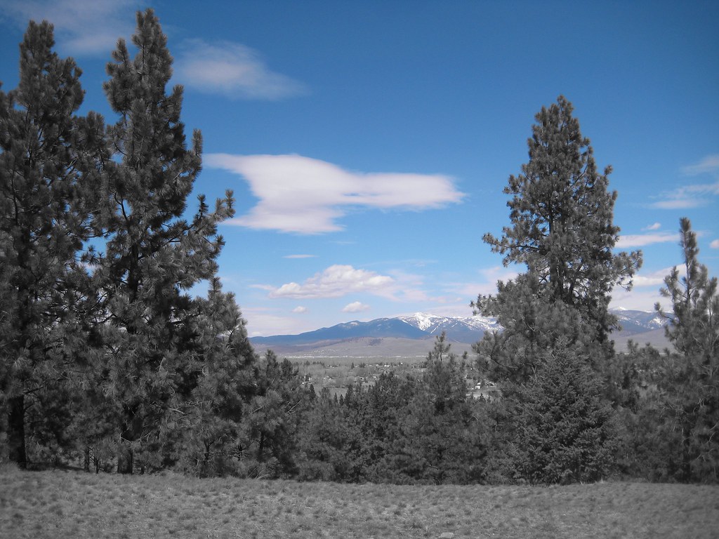
Hayes Point Cutoff is a short mountain biking route in the Missoula Ranger District of Lolo National Forest in western Montana, about 0.67 miles long and managed by the Forest Service. The climb rises from about 4,217 feet to about 4,551 feet, with a total gain of 321 feet. The steepest stretch comes at about 0.48 miles in, with a grade of 22 percent. Summer is the most comfortable time to ride. Typical averages from a nearby weather station in Missoula show July highs around 85°F with lows near 51°F, and September highs around 73°F with fewer wet days than spring and winter. That station sits well below the cutoff, so temperatures on the route run cooler. The cutoff links into a network of trails. The Blue Mountain National Recreation Trail is about 0.1 mile away, and the Hayes Point Loop is about 0.3 mile away. Hayes Creek is about 0.6 mile away, and Pattee Canyon Picnic Area, about 4.8 miles away, offers a place to camp.
Local outfitters
- Granite Peak RV Resort9 mi away
Not on Roamze yet. Their page has how to reach them.
Best time to go · May–Oct
Best time to visit Hayes Point Cutoff
Best months: May–October. Best months have typical highs of 55–85 °F, lows of 30 °F or warmer (32 °F where the station doesn't record snow), at most one snowy day and no more than 12 wet days.
Jan
32° / 18°
13 wet · 10 snow
Feb
37° / 21°
11 wet · 8 snow
Mar
48° / 27°
11 wet · 5 snow
Apr
56° / 32°
11 wet · 2 snow
May
66° / 40°
12 wet
Jun
73° / 46°
12 wet
Jul
85° / 51°
7 wet
Aug
84° / 50°
6 wet
Sep
73° / 42°
7 wet
Oct
56° / 32°
10 wet · 1 snow
Nov
40° / 25°
11 wet · 5 snow
Dec
31° / 18°
12 wet · 9 snow
Typical high / low (°F) and days with rain or snow, 1991–2020. Measured at Missoula Intl Ap, MT, 6.6 mi away at 3,192 ft. The station sits about 1,400 ft lower than this place, so expect it a little cooler here. Source: NOAA NCEI U.S. Climate Normals 1991–2020.
Keep exploring — more rides worth the drive
RIDE
Blue Mountain National Recreation Trail
Next door
9.27-mile route in Montana's Blue Mountain trail system with 3,726 ft of elevation gain.
RIDE
Blue Mtn Horse/hiker Nrt Tie
Next door
1.06-mile trail in Blue Mountain, Montana with 561 ft elevation gain.
RIDE
Hayes Point Loop
Next door
1.06-mile loop at Blue Mountain with 514 ft gain
RIDE
Hayes Creek
~1 min drive
1.69-mile trail at Blue Mountain with 406 ft elevation gain
RIDE
Blue Mtn Horse/hiker - Bike B
~1 min drive
0.26-mile trail in Montana's Blue Mountain trail system with 122 ft elevation gain.
RIDE
J's Trail
~2 min drive
0.61-mile trail in Blue Mountain, Montana with 372 ft elevation gain.
RIDE
Moto Trail
~2 min drive
0.76-mile trail at Blue Mountain with 117 ft elevation gain
RIDE
Shogun
~2 min drive
0.33-mile trail at Blue Mountain with 24 ft elevation gain.
RIDE
Climb to Orchard
~2 min drive
0.29-mile climb gaining 86 ft at Blue Mountain, Montana
RIDE
Blue Mtn Horse/hiker/bike
~2 min drive
0.91-mile trail at Blue Mountain with 306 ft elevation gain
Map and trail data © OpenStreetMap contributors
