Curry Cabin Ridge
- 4.0 mi
- round trip
- 940 ft
- climb
- 5,435 ft
- high point
- Out and back
- route
- May, Jul–Sep
- best months
Is Curry Cabin Ridge open right now?
Alert in the area
The Forest Service lists an alert for Lolo National Forest.
East Fork Big Creek Road & Trail Closure- Superior Ranger District
Agency alert covering Lolo National Forest · Order 26-003- · USFS · Lolo National Forest
As of · Source: USFS · Lolo National Forest. Agencies don't list every closure — check before you go.
Curry Cabin Ridge is a 4-mile out-and-back hike in the Missoula Ranger District of Lolo National Forest in western Montana. The trail rises from about 4,470 feet to about 5,435 feet, a climb of 940 feet one way, and is rated moderate. The Forest Service manages the land, and the trail is open year round. The trail is natural-surface and allows both horses and bikes, which makes it a flexible route for riders and equestrians. The nearest town is Seeley Lake, about 28 miles away. Summer is the most comfortable season. Typical July and August highs reach about 83°F with lows in the low 40s, and those months see the fewest wet days of the year, based on averages from a nearby weather station at Seeley Lake. That station sits roughly 1,300 feet below the ridge, so temperatures up high run cooler. Several mountain biking routes start within a quarter mile, including Sawmill Gulch (Rattlesnake) and Curry. Pattee Canyon Picnic Area, about 9 miles away, is the closest campground.
Local outfitters
- Granite Peak RV Resort7 mi away
Not on Roamze yet. Their page has how to reach them.
Best time to go · May, Jul–Sep
Best time to visit Curry Cabin Ridge
Best months: May and July–September. Best months have typical highs of 55–85 °F, lows of 30 °F or warmer (32 °F where the station doesn't record snow), at most one snowy day and no more than 12 wet days.
Jan
32° / 12°
15 wet
Feb
37° / 13°
12 wet
Mar
45° / 20°
12 wet
Apr
54° / 27°
11 wet
May
65° / 34°
12 wet
Jun
72° / 41°
13 wet
Jul
83° / 44°
8 wet
Aug
83° / 43°
7 wet
Sep
73° / 36°
9 wet
Oct
56° / 29°
11 wet
Nov
40° / 21°
14 wet
Dec
31° / 13°
16 wet
Typical high / low (°F) and days with rain or snow, 1991–2020. Measured at Seeley Lake Rs, MT, 28.2 mi away at 4,100 ft. The station sits about 1,300 ft lower than this place, so expect it a little cooler here. This station doesn't record snowfall. Source: NOAA NCEI U.S. Climate Normals 1991–2020.
Keep exploring — more trails worth the drive
 Photo: Forest Service - Northern Region, Public Domain Mark (via Flickr)
SAWMILL GULCH CUTOFF A
Next door
2.62-mile out-and-back trail in Montana with 708 ft elevation gain
Photo: Forest Service - Northern Region, Public Domain Mark (via Flickr)SAWMILL GULCH CUTOFF D
~2 min drive
2.36-mile out-and-back trail in Montana with 1,250 ft gain/loss and max elevation 4,810 ft.
 Photo: Forest Service - Northern Region, Public Domain Mark (via Flickr)
Stuart Peak
~3 min drive
26.06-mile out-and-back trail to Stuart Peak in Montana with 7,461 ft of elevation gain.
Photo: Forest Service - Northern Region, Public Domain Mark (via Flickr)Curry Cutoff
~1 min drive
0.88-mile out-and-back trail in Montana with 110 ft of elevation gain.
Photo: Forest Service - Northern Region, Public Domain Mark (via Flickr)Spring Gulch
~3 min drive
3.64-mile out-and-back trail in Montana with 450 ft elevation gain.
 Photo: Forest Service - Northern Region, Public Domain Mark (via Flickr)
Rattlesnake Creek
~4 min drive
28.25-mile out-and-back trail in Montana with 1,641 ft of elevation gain.
Photo: Forest Service - Northern Region, Public Domain Mark (via Flickr)SAWMILL GULCH CUTOFF F
~2 min drive
1.12-mile out-and-back trail in Montana with 289 ft elevation gain.
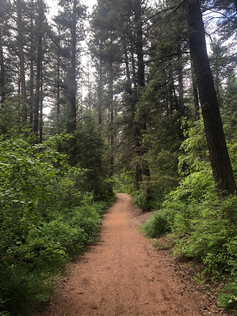 Photo: Forest Service - Northern Region, Public Domain Mark (via Flickr)
Three Larches
~6 min drive
4.38-mile out-and-back trail in Montana with 508 ft elevation gain.
Photo: Forest Service - Northern Region, Public Domain Mark (via Flickr)Sheep Mountain
~5 min drive
28.25-mile out-and-back trail in Montana with 3,314 ft elevation gain.
Photo: Forest Service - Northern Region, Public Domain Mark (via Flickr)RATTLESNAKE CREEK CUTOFF A
~3 min drive
1.94-mile out-and-back trail in Montana with 379 ft gain/loss.

