Carter Lake
- 10.2 mi
- round trip
- 2,394 ft
- climb
- 7,561 ft
- high point
- Out and back
- route
Is Carter Lake open right now?
Alert in the area
The Forest Service lists an alert for Lolo National Forest.
East Fork Big Creek Road & Trail Closure- Superior Ranger District
Agency alert covering Lolo National Forest · Order 26-003- · USFS · Lolo National Forest
As of · Source: USFS · Lolo National Forest. Agencies don't list every closure — check before you go.
Carter Lake is a hard hike in the Missoula Ranger District of Lolo National Forest in western Montana, managed by the Forest Service. The route is an out-and-back of about 10 miles, with a one-way elevation gain of roughly 2,400 feet, carrying you from a low of about 5,150 feet to a high of about 7,560 feet. Horses are allowed on the trail, which is on natural surface. The climb is a steady ascent, so plan on a long day with plenty of time and water. The trail starts close to several other routes. Wrangle Creek is about 0.1 mile away and Rattlesnake Creek about 0.3 mile. The Wrangel Creek Trail, for mountain biking, is also about 0.3 mile off, and Sheridan Lake Trail lies about 1.8 miles away.
Local outfitters
- Granite Peak RV Resort13 mi away
Not on Roamze yet. Their page has how to reach them.
Keep exploring — more trails worth the drive
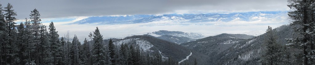 Photo: Evan-Lovely, CC BY-SA 2.0 (via Flickr)
Snowbowl Mountain Bike
~10 min drive
8.06-mile out-and-back trail in Montana with 60 ft of elevation gain.
 Photo: Forest Service - Northern Region, Public Domain Mark (via Flickr)
Spring Gulch
~15 min drive
3.64-mile out-and-back trail in Montana with 450 ft elevation gain.
Photo: Forest Service - Northern Region, Public Domain Mark (via Flickr)Stuart Peak
~15 min drive
26.06-mile out-and-back trail to Stuart Peak in Montana with 7,461 ft of elevation gain.
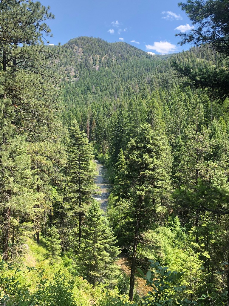 Photo: Forest Service - Northern Region, Public Domain Mark (via Flickr)
RATTLESNAKE CREEK CUTOFF G
~11 min drive
1.2-mile out-and-back trail in Montana with 227 ft elevation gain
 Photo: Forest Service - Northern Region, Public Domain Mark (via Flickr)
SAWMILL GULCH CUTOFF D
~15 min drive
2.36-mile out-and-back trail in Montana with 1,250 ft gain/loss and max elevation 4,810 ft.
HIKE
Wrangle Creek
Next door
7.94-mile out-and-back trail in Montana with 1,723 ft elevation gain.
Photo: Forest Service - Northern Region, Public Domain Mark (via Flickr)WALLMAN CUTOFF A
~12 min drive
1.38-mile out-and-back trail in Montana with 172 ft elevation gain
HIKE
Porcupine Creek
~2 min drive
7.50-mile out-and-back trail in Montana with 1,964 ft gain.
HIKE
Boulder Lake
~7 min drive
10.87-mile out-and-back trail to Boulder Lake in Montana with 1,176 ft gain.
Photo: Forest Service - Northern Region, Public Domain Mark (via Flickr)SAWMILL GULCH CUTOFF A
~14 min drive
2.62-mile out-and-back trail in Montana with 708 ft elevation gain

