Loading…

Free — you'll pick up right here.
Watch this trail
Sign up to watch it — saving subscribes you to gate, closure and report changes.
Montana
4.6 mi
Distance
213 ft
Gain
1h 34m
Time
We won't guess. Here is exactly what we do and don't know.
What we do know
Inside Yellowstone National Park
National Park unit boundary is mapped — agency alerts for it feed this page automatically.
Boundary data
What's missing
No access route mapped
We don't yet know which road reaches this trailhead, so we can't tell you if it's gated.
Nobody's filed a report here yet — be the first.
Why you'll love it
Boundary Trail (Xc)
AI-suggested draft · review before you go
No permit or access details on file for this trail — check with the local land manager before you go.
The Boundary Trail is a scenic 4.58-mile cross-country route that traverses Montana's backcountry with moderate terrain and mixed forest coverage. This trail offers solitude and natural beauty typical of the region's wilderness areas, making it ideal for hikers seeking a quieter alternative to heavily trafficked paths. The cross-country designation means navigation requires map and compass skills, adding an element of adventure for experienced backcountry travelers.
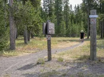
Riverside Ski Trails Trailhead (WK9)
~1 min drive
The Riverside Ski Trail provides several easy options to ski along the Madison River and enjoy views of both the Gallatin and Madison mountain ranges. Boundary Street to loops: 1 mile (1.6 km) Downriver loop, full: 3.5 miles (5.6 km) Downriver loop, short: 2.2 miles (3.5 km) U…

Harlequin Lake Trail
~18 min drive
1.0 mi · Easy

Purple Mountain Trail
~21 min drive
6.7 mi · Moderate
Madison Arm Loop (Snowmo)
~1 min drive
Scenic 18.49-mile winter snowmobile loop with minimal elevation gain.
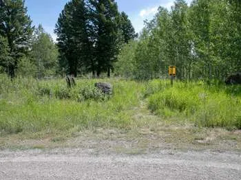
Gneiss Creek (WK7)
~15 min drive
This trailhead along Highway 191 in the western part of the park provides access to one trail: Gneiss Creek Trail Gneiss Creek Trail This moderate 13.9-mile (22.4-km) one-way hike that can start at either the Gneiss Creek Trailhead along Highway 191 and the western boundary…
Purple Haze (Xc)
~2 min drive
Short XC ski trail perfect for beginners and quick winter outings.
Lionhead (Snowmo)
~10 min drive
Moderate snowmobile trail with gentle climbing and scenic winter views.
Frontier Trail
~2 min drive
Easy 4-mile walk with minimal elevation gain through Montana backcountry.
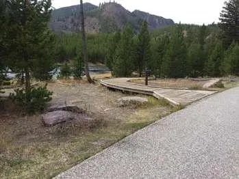
Mount Haynes Fishing Platform
~15 min drive
<p>At the Mount Haynes Overlook, approximately 3.5 miles (5.6 km) west of Madison Junction. A level boardwalk leads to the Madison River.</p>
Volunteer (Xc)
~3 min drive
Easy 2.8-mile cross-country ski trail with minimal elevation gain.