Kootenai River Campground
- Apr–Jun, Sep–Oct
- best months
Caution at last check
Agency alerts are in effect for this area; weather is marginal · USFS, OpenWeather · checked 19 h ago
Is Kootenai River Campground open right now?
Closure in the area
There's a closure order in Three Rivers Ranger District. It doesn't name Kootenai River Campground, so check the source for the area it covers (2 listed).
Ross Creek Cedars Road Closure & Storm Damage Update
Agency closure covering Three Rivers Ranger District · Order 01-14-04-26-08 · USFS · Three Rivers Ranger District
Kootenai Flood Event & Inaccessible Areas
Agency closure covering Kootenai National Forest · USFS · Kootenai National Forest
Updated Skillet Fire Area, Road, Trail Closure
Agency alert covering Kootenai National Forest · Order 01-10- · USFS · Kootenai National Forest
Spar Lake Road #384 Road Closed to Motorized Vehicles
Agency alert covering Three Rivers Ranger District · Order 01-14-04-26-04 · USFS · Three Rivers Ranger District
As of · Source: USFS · Three Rivers Ranger District. Agencies don't list every closure — check before you go.
- At 1,891 ft
- Three Rivers Ranger DistrictKootenai National Forest
Kootenai River Campground is a campground in Montana at about 1,891 feet.
Local outfitters
- The Hemlocks RV & Lodging17 mi away
- Nordman Resort48 mi away
Not on Roamze yet. Their page has how to reach them.
- Alvord LakeHiking1.5 mi
- Troy Walking PathHiking1.6 mi
- Kootenai River Boat RampBoat launch2.5 mi
- Yaak Mtn. Lookout RentalCamping4.1 mi
- Callahan CreekCanoeing4.4 mi
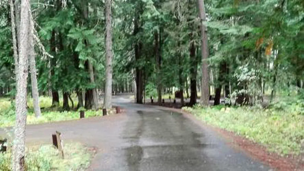 Yaak River Campground (MT)CampingPhoto: Recreation.gov (RIDB) / public domain4.8 mi
- Goat MountainSummit7 mi
 Kootenai FallsWaterfallPhoto: Bjorn, CC BY-SA 2.0 (via Wikimedia Commons)7.8 mi
Source: Roamze catalog (indexable pages within 10 miles, PostGIS distance)
- Yaak River Campground (MT)Camping · ~8 min drive
- Rd 4445 Camp 3 (Pit)Camping · ~8 min drive
- Road 331 Camp 3Camping · ~8 min drive
- Road 4562 Camp ACamping · ~10 min drive
- Road 2394e Site 1Camping · ~11 min drive
- Rd176 Campsite 7Camping · ~11 min drive
- Road2394e Site 2Camping · ~11 min drive
- Rd 4445 Camp 2Camping · ~11 min drive
- Kilbrennan Lake CampgroundCamping · ~12 min drive
- Rd176 Campsite 6Camping · ~12 min drive
Best time to visit Kootenai River Campground
Best months: April–June and September–October. Best months have typical highs of 55–85 °F, lows of 30 °F or warmer (32 °F where the station doesn't record snow), at most one snowy day and no more than 12 wet days.
Jan
33° / 23°
13 wet
Feb
39° / 24°
10 wet
Mar
50° / 28°
11 wet
Apr
59° / 33°
9 wet
May
70° / 40°
10 wet
Jun
76° / 46°
10 wet
Jul
87° / 49°
6 wet
Aug
86° / 48°
5 wet
Sep
75° / 42°
6 wet
Oct
57° / 35°
9 wet
Nov
41° / 29°
13 wet
Dec
32° / 23°
13 wet
Typical high / low (°F) and days with rain or snow, 1991–2020. Measured at Troy, MT, 1.5 mi away at 1,929 ft. This station doesn't record snowfall. Source: NOAA NCEI U.S. Climate Normals 1991–2020.
Map and trail data © OpenStreetMap contributors
