Sears Flat Loop A
- 3.4 mi
- round trip
- 197 ft
- climb
- 2,080 ft
- high point
- Out and back
- route
- Apr–Jun, Sep–Oct
- best months
Is Sears Flat Loop A open right now?
Closure in the area
There's a closure order in Three Rivers Ranger District. It doesn't name Sears Flat Loop A, so check the source for the area it covers (2 listed).
Ross Creek Cedars Road Closure & Storm Damage Update
Agency closure covering Three Rivers Ranger District · Order 01-14-04-26-08 · USFS · Three Rivers Ranger District
Kootenai Flood Event & Inaccessible Areas
Agency closure covering Kootenai National Forest · USFS · Kootenai National Forest
Updated Skillet Fire Area, Road, Trail Closure
Agency alert covering Kootenai National Forest · Order 01-10- · USFS · Kootenai National Forest
Spar Lake Road #384 Road Closed to Motorized Vehicles
Agency alert covering Three Rivers Ranger District · Order 01-14-04-26-04 · USFS · Three Rivers Ranger District
As of · Source: USFS · Three Rivers Ranger District. Agencies don't list every closure — check before you go.
Sears Flat Loop A is a 3.4-mile out-and-back cross-country ski route in the Three Rivers Ranger District of Kootenai National Forest in northwest Montana, managed by the Forest Service. The trail rises from about 1,867 feet to about 2,080 feet, with a total elevation gain of 197 feet, and is rated moderate. Winter is the natural season for this route. Typical averages from the nearby Troy weather station show January highs around 33°F with lows near 23°F, while July and August average highs in the mid-80s. The station sits a few hundred feet lower than the trail's high point, so temperatures on the route run slightly cooler. Loop B starts just 0.2 miles away, and Yaak River Campground and Yaak River are both about 1.3 miles off. Cougar Ridge X-C Ski is about 4 miles away.
Local outfitters
- Nordman Resort46 mi away
Not on Roamze yet. Their page has how to reach them.
- SEARS FLAT LOOP BHiking0.2 mi
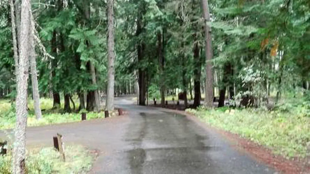 Yaak River Campground (MT)CampingPhoto: Recreation.gov (RIDB) / public domain1.3 mi
- Yaak RiverCamping1.4 mi
- Yaak Mtn. Lookout RentalCamping2 mi
- COUGAR RIDGE X-C SKIHiking4 mi
- Alvord LakeHiking4.4 mi
 Feeder CreekHikingPhoto: Forest Service - Northern Region, Public Domain Mark (via Flickr)4.6 mi
- Callahan CreekCanoeing7.2 mi
Source: Roamze catalog (indexable pages within 10 miles, PostGIS distance)
 Schweitzer Mountain ResortDownhill skiing · ~56 min drivePhoto: Lómelinde at German Wikipedia, Public domain (via Wikimedia Commons)
- Sears Flat Loop BCross-country skiing · Next door
- Cougar Ridge X-C SkiCross-country skiing · ~7 min drive
- Coyote CanyonCross-country skiing · ~54 min drive
- Turner Mountain Ski AreaDownhill skiing · ~26 min drive
- Tongue DraggerCross-country skiing · ~38 min drive
- Rainbow Ridge X-C SkiCross-country skiing · ~28 min drive
- Moose TrotCross-country skiing · ~55 min drive
- Jeresek ParkCross-country skiing · ~38 min drive
- Flatiron Summit X-C Ski TrailCross-country skiing · ~29 min drive
Best time to visit Sears Flat Loop A
Best months: April–June and September–October. Best months have typical highs of 55–85 °F, lows of 30 °F or warmer (32 °F where the station doesn't record snow), at most one snowy day and no more than 12 wet days.
Jan
33° / 23°
13 wet
Feb
39° / 24°
10 wet
Mar
50° / 28°
11 wet
Apr
59° / 33°
9 wet
May
70° / 40°
10 wet
Jun
76° / 46°
10 wet
Jul
87° / 49°
6 wet
Aug
86° / 48°
5 wet
Sep
75° / 42°
6 wet
Oct
57° / 35°
9 wet
Nov
41° / 29°
13 wet
Dec
32° / 23°
13 wet
Typical high / low (°F) and days with rain or snow, 1991–2020. Measured at Troy, MT, 4.9 mi away at 1,929 ft. This station doesn't record snowfall. Source: NOAA NCEI U.S. Climate Normals 1991–2020.
