Stony Ledge
- 1.5 mi
- one way
- 234 ft
- climb
- 2,579 ft
- high point
- Point to point
- route
- Apr–Oct
- best months
Stony Ledge is a short, easy hike in Mount Greylock State Reservation in western Massachusetts, managed by State Park and Recreation. The route is a point-to-point walk of about 1.5 miles, with a total elevation gain of 234 feet from a starting point around 2,443 feet to a high point of about 2,579 feet. The climb is gentle overall, with the steepest stretch at about 1.3 miles in, where the grade reaches 16 percent. Late spring through early fall is the most comfortable time to go. Typical averages from a nearby weather station run from highs around 68°F in May to about 72°F in September, and that station sits roughly 1,500 feet below the trail, so temperatures on the ridge run cooler. The March Cataract Trail and the Deer Hill Trail both start about 0.1 mile away, and the Overlook Trail is about a mile off. Paddlers can reach the Hoosic River about 4.3 miles away.
Conditions and forecast on Stony Ledge
Daily highs and lows, wind and the chance of precipitation at the summit and route start for the next 7 days, from the Open-Meteo model.
- March Cataract TrailHiking0.1 mi
- Deer Hill TrailHiking0.1 mi
- Overlook TrailHiking1 mi
 Hoosic RiverCanoeingPhoto: John Phelan, CC BY 3.0 (via Wikimedia Commons)4.3 mi
- Clark CragRock climbing5 mi
- Cheshire ReservoirLake fishing6.9 mi
- Pontoosuc LakeLake fishing9.9 mi
- Old Seth Warner Shelter SiteCamping10 mi
Source: Roamze catalog (indexable pages within 10 miles, PostGIS distance)
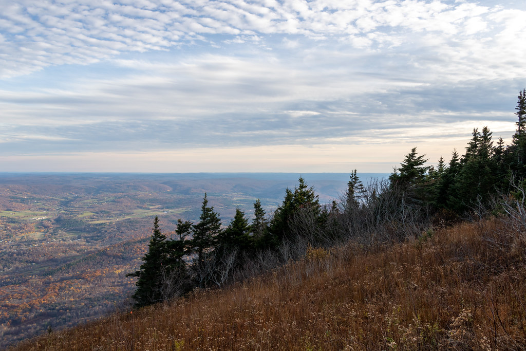 Gould TrailHiking · ~2 min drivePhoto: Ktr101, CC BY-SA 2.0 (via Flickr)
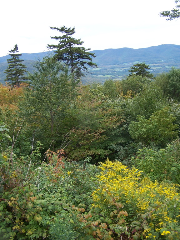 Jones Nose to SummitHiking · ~2 min drivePhoto: andyarthur, CC BY 2.0 (via Flickr)
- Broad BrookHiking · ~14 min drive
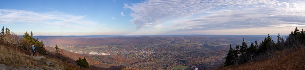 Bellows Pipe TrailHiking · ~3 min drivePhoto: Ktr101, CC BY-SA 2.0 (via Flickr)
 Thoreau’s FootstepsHiking · ~5 min drivePhoto: KimonBerlin, CC BY-SA 2.0 (via Flickr)
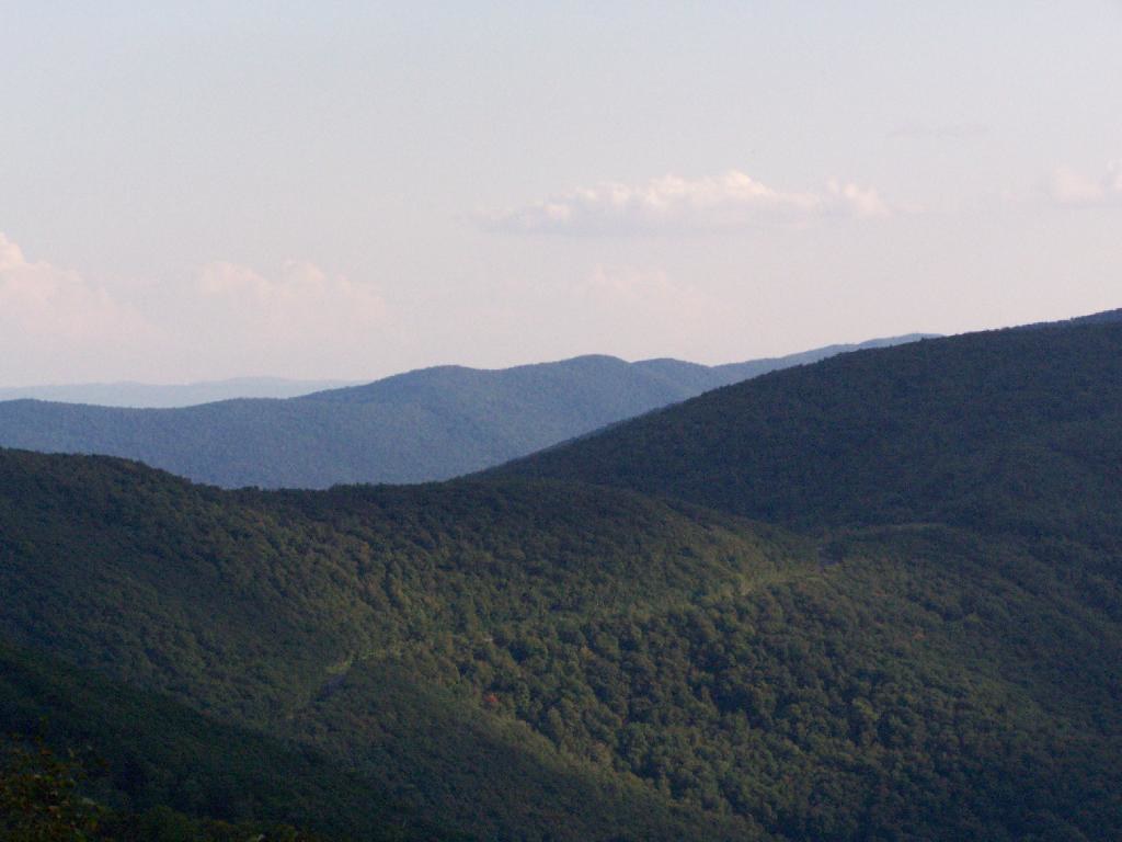 Birch Brook TrailHiking · ~15 min drivePhoto: andyarthur, CC BY 2.0 (via Flickr)
- Wilbur’s Clearing to SummitHiking · ~5 min drivePhoto: KimonBerlin, CC BY-SA 2.0 (via Flickr)
- Deer Hill TrailHiking · Next door
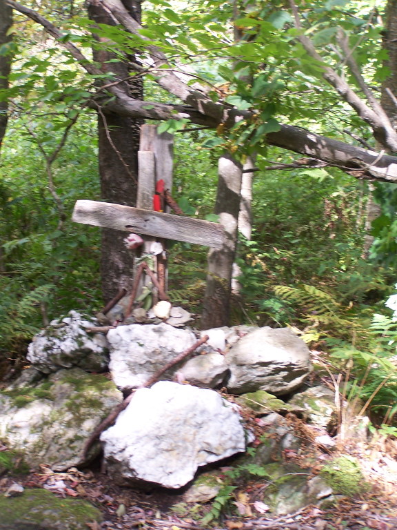 Rounds Rock - Jones Nose LoopHiking · ~5 min drivePhoto: andyarthur, CC BY 2.0 (via Flickr)
- Overlook TrailHiking · ~2 min drive
Best time to visit Stony Ledge
Best months: April–October. Best months have typical highs of 55–85 °F, lows of 30 °F or warmer (32 °F where the station doesn't record snow), at most one snowy day and no more than 12 wet days.
Jan
31° / 12°
Feb
33° / 13°
Mar
42° / 22°
Apr
56° / 33°
May
68° / 43°
Jun
75° / 52°
Jul
81° / 57°
Aug
78° / 55°
Sep
72° / 49°
Oct
59° / 39°
Nov
47° / 29°
Dec
36° / 20°
Typical high / low (°F) and days with rain or snow, 1991–2020. Measured at Pownal 1 Ne, VT, 11.1 mi away at 1,110 ft. The station sits about 1,500 ft lower than this place, so expect it a little cooler here. This station doesn't record snowfall. Source: NOAA NCEI U.S. Climate Normals 1991–2020.
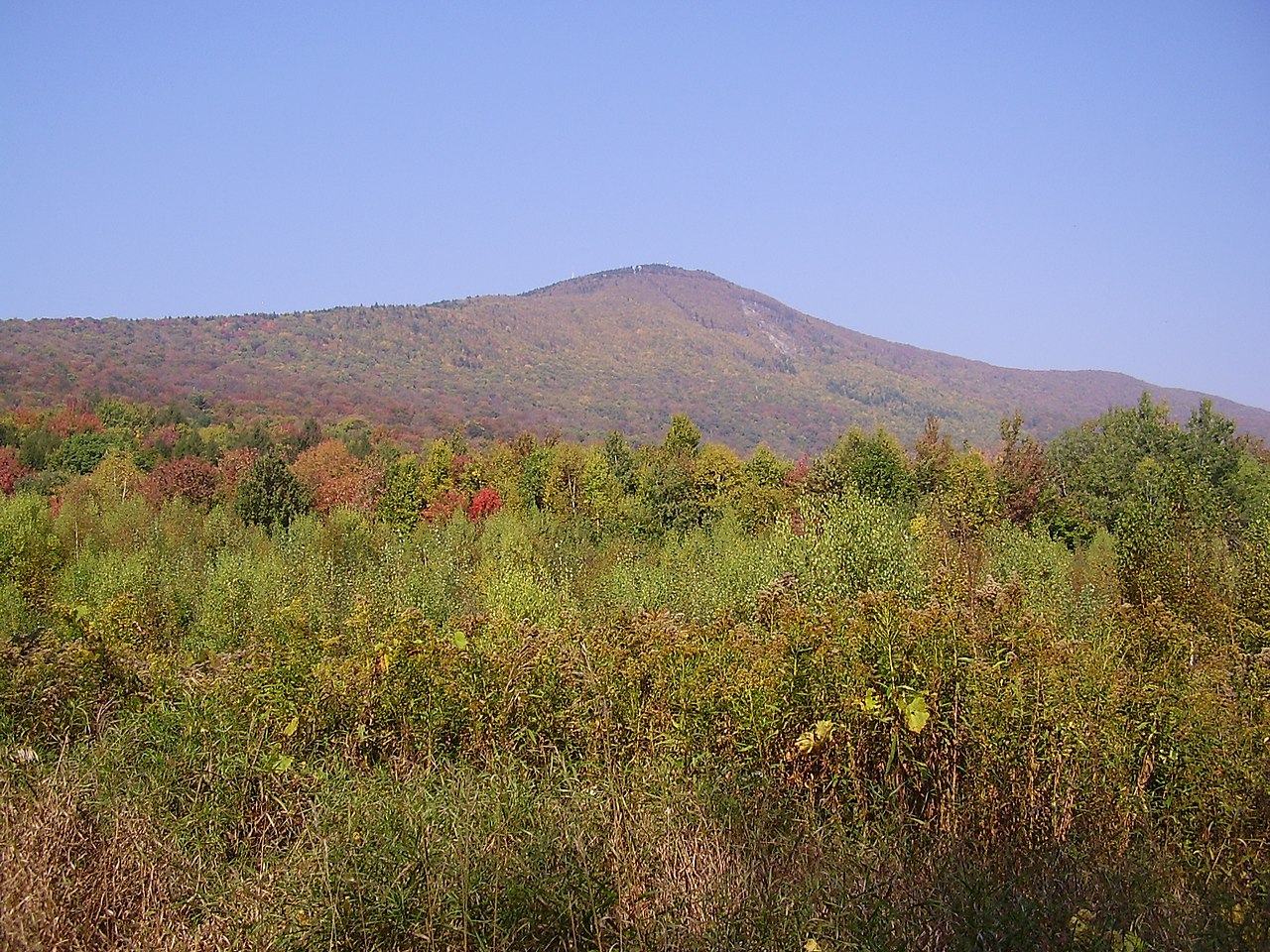
Route details
- Distance
- 1.5 mi
- Climbing
- About 234 ft
- Summit
- 2,582 ft
- Difficulty
- Easy
- Time
- About 0.5 hours
Questions about this route
How long is the Stony Ledge on Stony Ledge?
About 1.5 mi.
How much elevation gain is on the Stony Ledge?
About 234 ft of climbing round trip.
How hard is the Stony Ledge?
It is rated easy.
How long does the Stony Ledge take?
About 0.5 hours round trip.
Map and trail data © OpenStreetMap contributors
