Pasture Trail
- 1.1 mi
- loop
- 133 ft
- climb
- 1,127 ft
- high point
- Loop
- route
- Apr, Jun–Oct
- best months
Pasture Trail is a short, easy hike in central Massachusetts, about a mile from Princeton Station. The route is roughly 1.1 miles long, with a total elevation gain of 133 feet and a total loss of 175 feet, so it works well as a quick outing or a warm-up before heading to other trails in the area. The trail starts at about 1,127 feet and reaches a high point of 1,127 feet, which makes it a mostly flat walk with a slight climb early on. The steepest stretch comes within the first 0.07 miles, with a grade of about 11 percent. The trip takes about half an hour, so it fits easily into a day spent exploring the surrounding area. For comfortable weather, late spring and early fall are the best bets. Typical averages from a nearby weather station at Barre Falls Dam show May highs around 70°F and September highs around 75°F, with July the warmest month at about 83°F. That station sits roughly 300 feet lower than the trail, so temperatures on the trail run a little cooler. Brown Hill Loop is just 0.4 miles away, and the Central, MA climbing area is about half a mile off. Main Trail and Mountain House Trail are both within a few miles, so it's easy to string together a longer outing.
- Brown Hill LoopHiking0.4 mi
- Central, MARock climbing0.5 mi
- Main TrailHiking1.7 mi
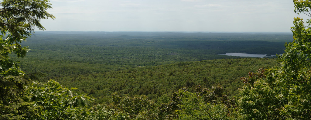 Mountain House TrailHikingPhoto: xxv, CC BY-SA 2.0 (via Flickr)2.4 mi
- Wachusett Mountain AreaRock climbing2.6 mi
- Playground BoulderRock climbing3 mi
 Quinapoxet RiverCanoeingPhoto: en:User:LymanSchool (Richard B. Johnson), CC BY-SA 3.0 (via Wikimedia Commons)6.2 mi
 Ware RiverCanoeingPhoto: John Phelan, CC BY-SA 3.0 (via Wikimedia Commons)8.2 mi
Source: Roamze catalog (indexable pages within 10 miles, PostGIS distance)
- Mountain House TrailHiking · ~4 min drivePhoto: xxv, CC BY-SA 2.0 (via Flickr)
- White Oak TrailHiking · ~9 min drive
 Cook's Canyon TrailHiking · ~18 min drivePhoto: Paul J. Morris, CC BY-SA 2.0 (via Flickr)
- Monoosnoc Ridge TrailHiking · ~15 min drive
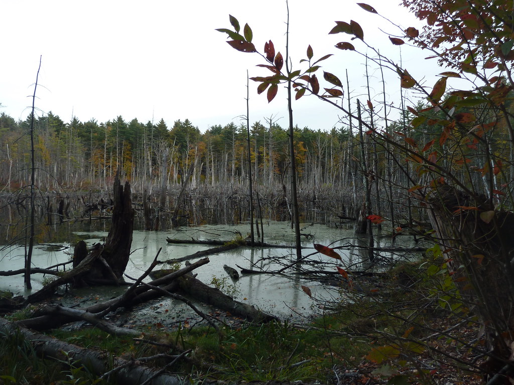 Bolton Flats TrailHiking · ~25 min drivePhoto: Paul J. Morris, CC BY-SA 2.0 (via Flickr)
- Whale Rock LoopHiking · ~16 min drive
 Sprague Primary TrailHiking · ~26 min drivePhoto: Paul J. Morris, CC BY-SA 2.0 (via Flickr)
 Bill Ashe TrailHiking · ~26 min drivePhoto: clembore, CC BY-SA 2.0 (via Flickr)
- Brown Hill LoopHiking · Next door
- Main TrailHiking · ~3 min drive
Best time to visit Pasture Trail
Best months: April and June–October. Best months have typical highs of 55–85 °F, lows of 30 °F or warmer (32 °F where the station doesn't record snow), at most one snowy day and no more than 12 wet days.
Jan
35° / 13°
12 wet · 7 snow
Feb
38° / 14°
10 wet · 6 snow
Mar
46° / 22°
12 wet · 4 snow
Apr
59° / 32°
12 wet · 1 snow
May
70° / 43°
14 wet
Jun
78° / 52°
12 wet
Jul
83° / 58°
12 wet
Aug
81° / 55°
11 wet
Sep
75° / 48°
10 wet
Oct
62° / 36°
12 wet
Nov
50° / 27°
11 wet · 2 snow
Dec
40° / 19°
13 wet · 5 snow
Typical high / low (°F) and days with rain or snow, 1991–2020. Measured at Barre Falls Dam, MA, 6.2 mi away at 825 ft. Source: NOAA NCEI U.S. Climate Normals 1991–2020.

Map and trail data © OpenStreetMap contributors
