White Oak Trail
- 3.8 mi
- round trip
- 590 ft
- climb
- 814 ft
- high point
- Out and back
- route
- Apr, Jun–Oct
- best months
White Oak Trail is a moderate out-and-back hike in central Massachusetts, about 1.7 miles from the town of Quinapoxet. The route is roughly 7.6 miles long, with a total elevation gain of 590 feet, and it reaches a high point of 814 feet. The trail starts at about 740 feet and ends at the same elevation, so the climb is split evenly between the ascent and descent. The steepest stretch comes at about 2.1 miles, where the grade reaches 7 percent. The trail is rated moderate, and the trip takes about 3 hours to complete. For comfortable weather, late spring and early fall are the best bets. Typical averages from a nearby weather station at Barre Falls Dam show May highs around 70°F and September highs around 75°F, with July the warmest month at about 83°F. Several other trails sit close by. The Blue Dot Trail (Bob Elms) and Red Dot Trail are each about 0.2 miles away, and the White Dot Trail is about 0.7 miles off. Paddlers can reach the Quinapoxet River about 1.7 miles away.
- Blue Dot Trail (Bob Elms)Hiking0.2 mi
- Red Dot TrailHiking0.2 mi
- White Dot TrailHiking0.7 mi
 Quinapoxet RiverCanoeingPhoto: en:User:LymanSchool (Richard B. Johnson), CC BY-SA 3.0 (via Wikimedia Commons)1.7 mi
- Central, MARock climbing5.5 mi
- Wachusett ReservoirLake fishing5.6 mi
- Wachusett Mountain AreaRock climbing6.5 mi
- Sholan FarmsRock climbing6.6 mi
Source: Roamze catalog (indexable pages within 10 miles, PostGIS distance)
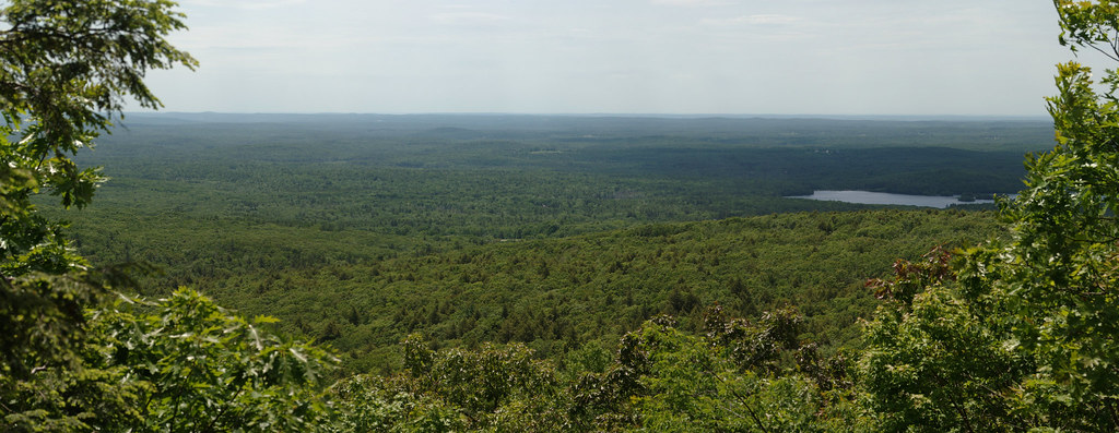 Mountain House TrailHiking · ~11 min drivePhoto: xxv, CC BY-SA 2.0 (via Flickr)
- Monoosnoc Ridge TrailHiking · ~18 min drive
 Carlstrom II TrailHiking · ~19 min drivePhoto: Gudlyf, CC BY 2.0 (via Flickr)
- Whale Rock LoopHiking · ~19 min drive
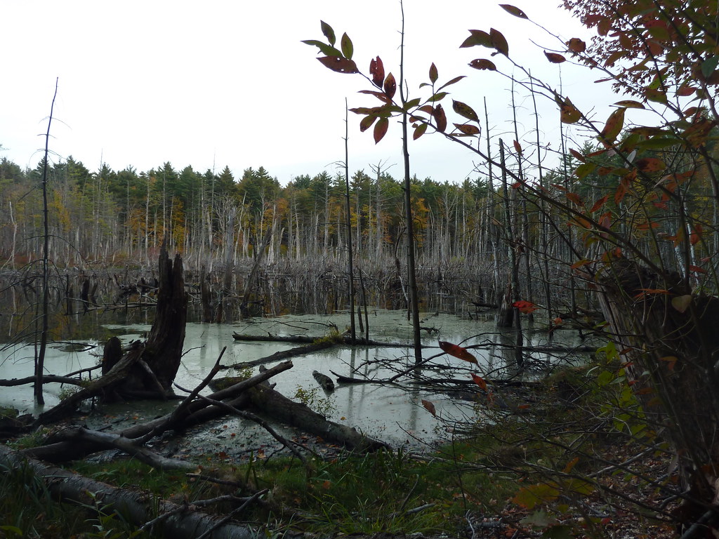 Bolton Flats TrailHiking · ~20 min drivePhoto: Paul J. Morris, CC BY-SA 2.0 (via Flickr)
- Edmund Hill TrailHiking · ~20 min drive
 Sprague Primary TrailHiking · ~22 min drivePhoto: Paul J. Morris, CC BY-SA 2.0 (via Flickr)
 Cook's Canyon TrailHiking · ~23 min drivePhoto: Paul J. Morris, CC BY-SA 2.0 (via Flickr)
 Little Chauncy TrailHiking · ~23 min drivePhoto: Jakob Roedler (1808-1862), Public domain (via Wikimedia Commons)
- Blue Dot Trail (Bob Elms)Hiking · Next door
Also worth it near here
Best time to visit White Oak Trail
Best months: April and June–October. Best months have typical highs of 55–85 °F, lows of 30 °F or warmer (32 °F where the station doesn't record snow), at most one snowy day and no more than 12 wet days.
Jan
35° / 13°
12 wet · 7 snow
Feb
38° / 14°
10 wet · 6 snow
Mar
46° / 22°
12 wet · 4 snow
Apr
59° / 32°
12 wet · 1 snow
May
70° / 43°
14 wet
Jun
78° / 52°
12 wet
Jul
83° / 58°
12 wet
Aug
81° / 55°
11 wet
Sep
75° / 48°
10 wet
Oct
62° / 36°
12 wet
Nov
50° / 27°
11 wet · 2 snow
Dec
40° / 19°
13 wet · 5 snow
Typical high / low (°F) and days with rain or snow, 1991–2020. Measured at Barre Falls Dam, MA, 9.7 mi away at 825 ft. Source: NOAA NCEI U.S. Climate Normals 1991–2020.

Map and trail data © OpenStreetMap contributors
