Mountain House Trail
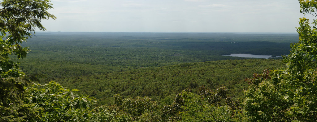 Photo: xxv, CC BY-SA 2.0 (via Flickr)
- 0.6 mi
- one way
- 542 ft
- climb
- 1,793 ft
- high point
- Point to point
- route
- May–Oct
- best months
Mountain House Trail is a short, easy hike in central Massachusetts, about 2.6 miles from the town of Princeton. The route is a point-to-point climb of roughly 0.6 miles, rising from about 1,225 feet to about 1,793 feet, with a total elevation gain of 542 feet. The steepest stretch comes early on, around 0.14 miles in, where the grade reaches about 22 percent. Summer and early fall are the most comfortable times to go. Typical averages from a nearby weather station in Ashburnham show July highs around 80°F and September highs near 71°F, with snow days common from December through March. That station sits about 685 feet lower than the trail's high point, so temperatures on the summit run cooler. The trail sits close to several climbing areas, including the Wachusett Mountain Area about 0.3 miles away and Playground Boulder about 0.6 miles away. For more hiking, the Brown Hill Loop is about 2.1 miles off, and the Quinapoxet River offers paddling about 7.6 miles away.
Best time to go · May–Oct
Best time to visit Mountain House Trail
Best months: May–October. Best months have typical highs of 55–85 °F, lows of 30 °F or warmer (32 °F where the station doesn't record snow), at most one snowy day and no more than 12 wet days.
Jan
31° / 14°
13 wet · 9 snow
Feb
33° / 15°
11 wet · 8 snow
Mar
41° / 23°
13 wet · 6 snow
Apr
55° / 34°
12 wet · 2 snow
May
66° / 44°
12 wet
Jun
75° / 54°
12 wet
Jul
80° / 60°
11 wet
Aug
78° / 57°
10 wet
Sep
71° / 51°
9 wet
Oct
57° / 39°
11 wet
Nov
46° / 31°
11 wet · 2 snow
Dec
35° / 20°
13 wet · 7 snow
Typical high / low (°F) and days with rain or snow, 1991–2020. Measured at Ashburnham, MA, 9.2 mi away at 1,108 ft. The station sits about 700 ft lower than this place, so expect it a little cooler here. Source: NOAA NCEI U.S. Climate Normals 1991–2020.
Keep exploring — more trails worth the drive
 Photo: Paul J. Morris, CC BY-SA 2.0 (via Flickr)
Cook's Canyon Trail
~21 min drive
0.92-mile loop in Massachusetts with 181 ft elevation gain.
HIKE
White Oak Trail
~11 min drive
Accessible 3.69-mile out-and-back woodland walk through Massachusetts forest.
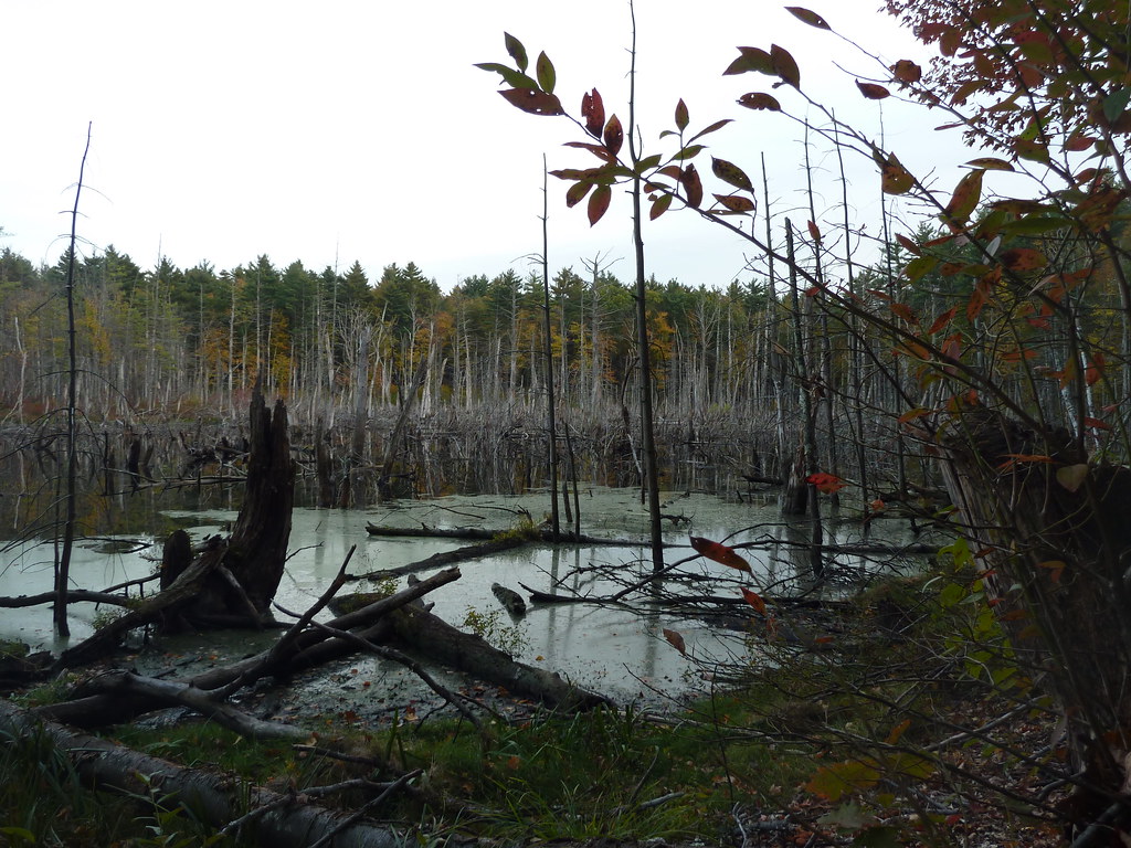 Photo: Paul J. Morris, CC BY-SA 2.0 (via Flickr)
Bolton Flats Trail
~22 min drive
2.64-mile out-and-back trail in Massachusetts with 226 ft elevation gain.
HIKE
Monoosnoc Ridge Trail
~11 min drive
5.36-mile out-and-back trail in Massachusetts with 1,056 ft elevation gain.
 Photo: clembore, CC BY-SA 2.0 (via Flickr)
Bill Ashe Trail
~23 min drive
0.92-mile out-and-back hike in Massachusetts with 96 ft of elevation gain.
HIKE
Whale Rock Loop
~12 min drive
Easy 0.42-mile loop with accessible terrain and local natural features.
 Photo: Paul J. Morris, CC BY-SA 2.0 (via Flickr)
Sprague Primary Trail
~24 min drive
Short point-to-point woodland trail in Massachusetts.
 Photo: clembore, CC BY-SA 2.0 (via Flickr)
Goddard Trail
~24 min drive
1.13-mile out-and-back trail in Massachusetts with 269 ft of elevation gain.
 Photo: U. S. Fish and Wildlife Service - Northeast Region, Public domain (via Wikimedia Commons)
Mirror Lake Trail (primary)
~25 min drive
2.42-mile out-and-back trail in Massachusetts with 841 ft elevation gain.
HIKE
Brown Hill Loop
~4 min drive
1.19-mile loop trail in Massachusetts with 291 ft gain and 330 ft loss.

Map and trail data © OpenStreetMap contributors
