Bill Ashe Trail
 Photo: clembore, CC BY-SA 2.0 (via Flickr)
- 0.9 mi
- round trip
- 203 ft
- climb
- 330 ft
- high point
- Out and back
- route
- Apr, Jul–Oct
- best months
Bill Ashe Trail is a short, easy hike in Massachusetts, about a mile from Shaker Village. The trail is an out-and-back, roughly 1.8 miles long, with a total climb of about 200 feet. The steepest part comes early, around 0.25 miles from the start, where the grade reaches about 8 percent. Late spring and early fall are the most comfortable times to go. Typical averages from a nearby weather station in Fitchburg show May highs around 70°F and September highs around 74°F, with July the warmest month at about 83°F. Several other trails sit close by. Goddard Trail is about 1.2 miles away and Mirror Lake Trail (primary) about 1.3 miles. Turnpike Trail is about 1.8 miles off. For climbing, Harrrvard Yarrrd is about 2.7 miles away.
Best time to go · Apr, Jul–Oct
Best time to visit Bill Ashe Trail
Best months: April and July–October. Best months have typical highs of 55–85 °F, lows of 30 °F or warmer (32 °F where the station doesn't record snow), at most one snowy day and no more than 12 wet days.
Jan
34° / 16°
11 wet
Feb
37° / 17°
9 wet
Mar
45° / 25°
11 wet
Apr
58° / 35°
12 wet
May
70° / 46°
13 wet
Jun
78° / 56°
13 wet
Jul
83° / 61°
12 wet
Aug
82° / 60°
12 wet
Sep
74° / 51°
11 wet
Oct
62° / 40°
12 wet
Nov
50° / 30°
11 wet
Dec
40° / 22°
11 wet
Typical high / low (°F) and days with rain or snow, 1991–2020. Measured at Fitchburg Muni Ap, MA, 6.5 mi away at 348 ft. This station doesn't record snowfall. Source: NOAA NCEI U.S. Climate Normals 1991–2020.
Keep exploring — more trails worth the drive
 Photo: clembore, CC BY-SA 2.0 (via Flickr)
Goddard Trail
~2 min drive
1.13-mile out-and-back trail in Massachusetts with 269 ft of elevation gain.
HIKE
Monoosnoc Ridge Trail
~14 min drive
5.36-mile out-and-back trail in Massachusetts with 1,056 ft elevation gain.
 Photo: U. S. Fish and Wildlife Service - Northeast Region, Public domain (via Wikimedia Commons)
Mirror Lake Trail (primary)
~2 min drive
2.42-mile out-and-back trail in Massachusetts with 841 ft elevation gain.
HIKE
Whale Rock Loop
~15 min drive
Easy 0.42-mile loop with accessible terrain and local natural features.
 Photo: Bob Burkhardt, CC BY 3.0 (via Wikimedia Commons)
Esker Loop Trail
~4 min drive
1.35-mile out-and-back hike on an eskar in Massachusetts with 178 ft gain
 Photo: Paul J. Morris, CC BY-SA 2.0 (via Flickr)
Sprague Primary Trail
~7 min drive
Short point-to-point woodland trail in Massachusetts.
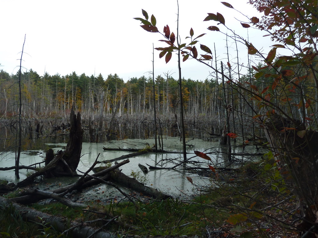 Photo: Paul J. Morris, CC BY-SA 2.0 (via Flickr)
Bolton Flats Trail
~7 min drive
2.64-mile out-and-back trail in Massachusetts with 226 ft elevation gain.
 Photo: dee & tula monstah, CC BY 2.0 (via Flickr)
Dead River Road
~8 min drive
0.46-mile out-and-back trail on Dead River Road in Massachusetts.
Photo: dee & tula monstah, CC BY 2.0 (via Flickr)Loop Trail
~8 min drive
0.80-mile out-and-back trail in Massachusetts with 176 ft of elevation gain.
Photo: dee & tula monstah, CC BY 2.0 (via Flickr)Loop Trail
~8 min drive
0.46-mile out-and-back out-and-back in Massachusetts with 117 ft of elevation gain.
