Bradley Farm Trail
- 1.2 mi
- round trip
- 1,029 ft
- climb
- 2,100 ft
- high point
- Out and back
- route
Bradley Farm Trail is a moderate out-and-back hike in western Massachusetts, about 1.9 miles from Greylock Estates. The route is roughly 2.3 miles long, with a total elevation gain of 1,029 feet from the low point at 1,666 feet to the high point at 2,100 feet. The steepest stretch comes at about 0.6 miles in, with a grade of 18 percent. Summer is the most comfortable time to go. Typical averages from a nearby weather station in Pittsfield run to highs around 79°F in July, and the station sits well below the trail, so temperatures on the higher ground run cooler. The trip takes about 1.5 hours. Rounds Rock Trek starts just 0.1 mile away, and Rounds Rock - Jones Nose Loop is about 2 miles off. Cheshire Reservoir and the Hoosic River are both within about 3.5 miles.
- Rounds Rock TrekHiking0.1 mi
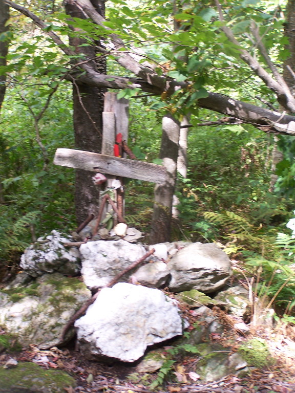 Rounds Rock - Jones Nose LoopHikingPhoto: andyarthur, CC BY 2.0 (via Flickr)2 mi
- Cheshire ReservoirLake fishing2.3 mi
 Hoosic RiverCanoeingPhoto: John Phelan, CC BY 3.0 (via Wikimedia Commons)3.3 mi
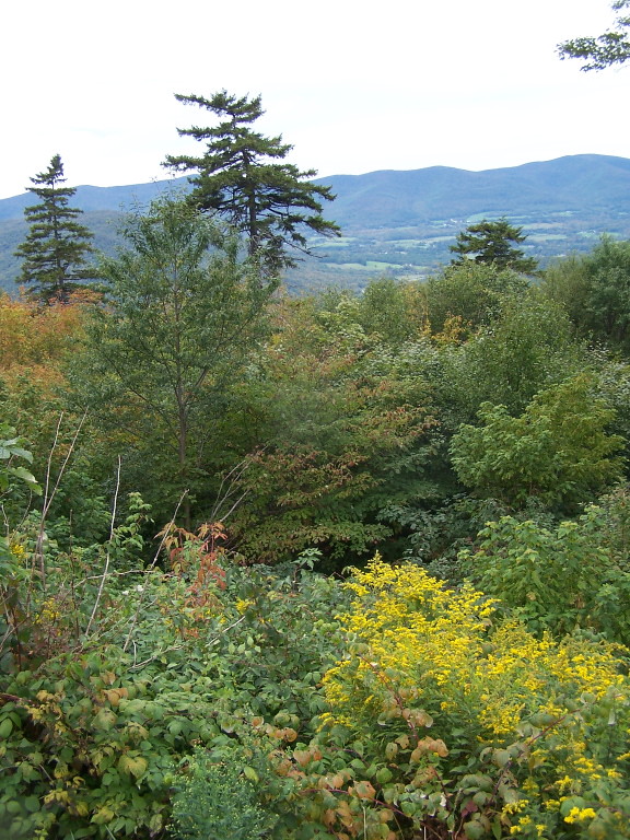 Jones Nose to SummitHikingPhoto: andyarthur, CC BY 2.0 (via Flickr)3.5 mi
- Trail DMountain biking4.4 mi
- Pontoosuc LakeLake fishing5.2 mi
- Clark CragRock climbing9.5 mi
Source: Roamze catalog (indexable pages within 10 miles, PostGIS distance)
- Rounds Rock - Jones Nose LoopHiking · ~4 min drivePhoto: andyarthur, CC BY 2.0 (via Flickr)
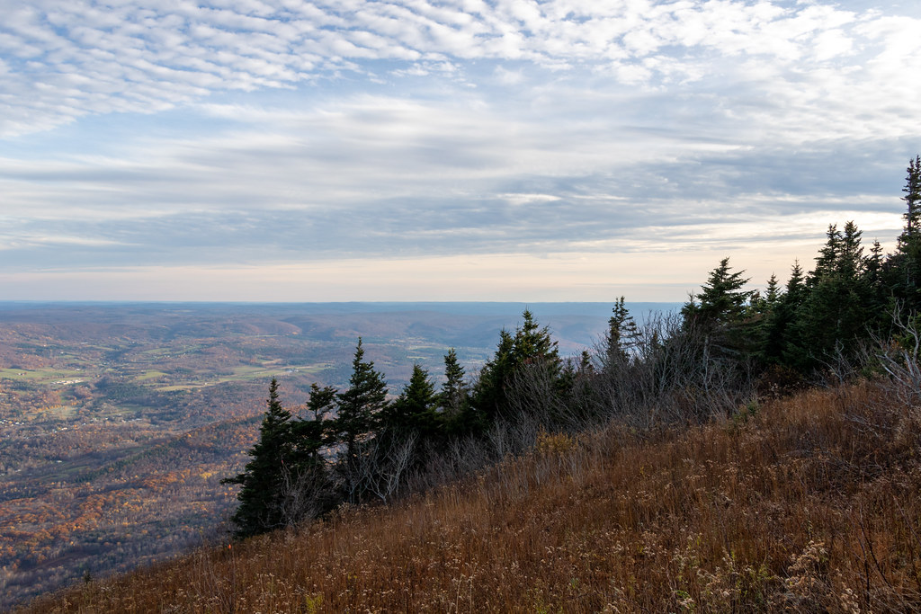 Gould TrailHiking · ~8 min drivePhoto: Ktr101, CC BY-SA 2.0 (via Flickr)
- Jones Nose to SummitHiking · ~6 min drivePhoto: andyarthur, CC BY 2.0 (via Flickr)
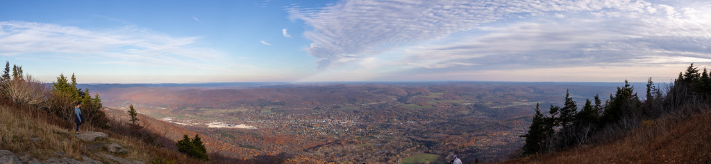 Bellows Pipe TrailHiking · ~10 min drivePhoto: Ktr101, CC BY-SA 2.0 (via Flickr)
 Parker brook trailHiking · ~12 min drivePhoto: Flipfox22, CC BY-SA 3.0 (via Wikimedia Commons)
- Deer Hill TrailHiking · ~8 min drive
 Thoreau’s FootstepsHiking · ~13 min drivePhoto: KimonBerlin, CC BY-SA 2.0 (via Flickr)
- Overlook TrailHiking · ~9 min drive
- Wilbur’s Clearing to SummitHiking · ~13 min drivePhoto: KimonBerlin, CC BY-SA 2.0 (via Flickr)
- Appalachian TrailHiking · ~10 min drive
Best time to visit Bradley Farm Trail
No month here meets our mild-weather rule. Best months have typical highs of 55–85 °F, lows of 30 °F or warmer (32 °F where the station doesn't record snow), at most one snowy day and no more than 12 wet days.
Jan
30° / 14°
12 wet
Feb
33° / 15°
11 wet
Mar
42° / 23°
13 wet
Apr
55° / 34°
13 wet
May
67° / 44°
14 wet
Jun
75° / 53°
15 wet
Jul
79° / 58°
15 wet
Aug
78° / 56°
15 wet
Sep
70° / 49°
13 wet
Oct
58° / 39°
13 wet
Nov
47° / 29°
13 wet
Dec
35° / 21°
13 wet
Typical high / low (°F) and days with rain or snow, 1991–2020. Measured at Pittsfield Muni Ap, MA, 10.4 mi away at 1,194 ft. The station sits about 900 ft lower than this place, so expect it a little cooler here. This station doesn't record snowfall. Source: NOAA NCEI U.S. Climate Normals 1991–2020.
Map and trail data © OpenStreetMap contributors
