Bailey Trail
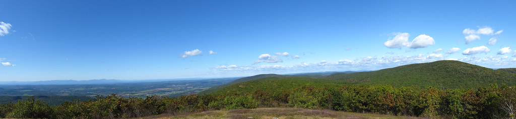
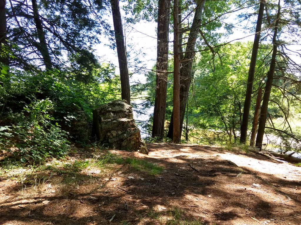 Photo: bradipo, CC BY 2.0 (via Flickr)
- 1.2 mi
- distance
- 416 ft
- climb
- 765 ft
- high point
- Lollipop
- route
- Apr, Jul–Oct
- best months
Bailey Trail is a short, easy hike of about 1.2 miles on Bartholomews Cobble in Massachusetts, managed by a non-governmental organization. The nearest town is Weatogue, Connecticut, about 0.6 miles away. The trail rises from a starting point of about 707 feet to a high of 765 feet, with a total gain of 416 feet. The steepest stretch comes at about 0.43 miles in, where the grade reaches 12 percent. The route also has a small loss of 438 feet, so it's a little more varied than a simple climb. For comfortable weather, aim for late spring or early fall. Typical averages from the nearby Falls Village, Connecticut weather station show May highs around 72°F and September highs around 75°F, with July the warmest month at about 85°F. The Housatonic River, about 0.7 miles away, offers river fishing. Drury Trail is about 2.6 miles off, and Iron Mountain Trail and the Appalachian Trail are both within about 5 miles.
Local outfitters
- Catskill Outfitters49 mi away
Not on Roamze yet. Their page has how to reach them.
- Housatonic RiverRiver fishing0.7 mi
- Drury TrailHiking2.6 mi
- Iron Mountain TrailHiking4 mi
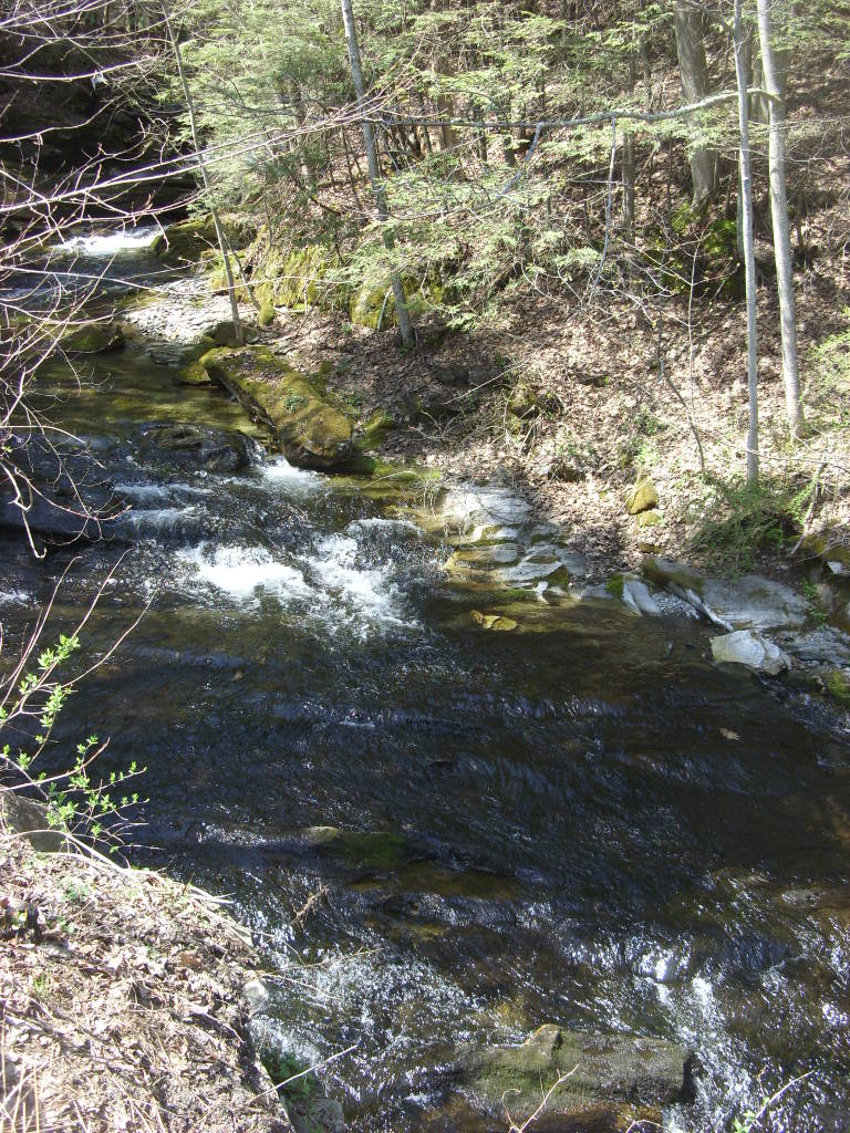 Appalachian TrailHikingPhoto: Dougtone, CC BY-SA 2.0 (via Flickr)4.7 mi
- Sage's RavineCamping5.3 mi
- Showcase BoulderRock climbing6.4 mi
- Waterfall Basin BouldersRock climbing6.4 mi
- Reed Brook RoofRock climbing9 mi
Source: Roamze catalog (indexable pages within 10 miles, PostGIS distance)
- Appalachian TrailHiking · ~8 min drivePhoto: Dougtone, CC BY-SA 2.0 (via Flickr)
 Stoney Lonesome TrailHiking · ~12 min drivePhoto: pedrik, CC BY 2.0 (via Flickr)
- Appalachian TrailHiking · ~12 min drive
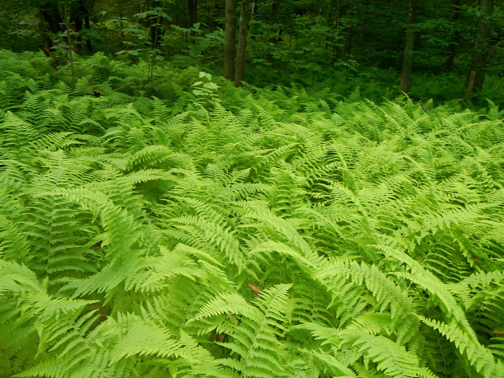 Race Brook TrailHiking · ~9 min drivePhoto: John Hayes (gravelboy), CC BY 2.0 (via Flickr)
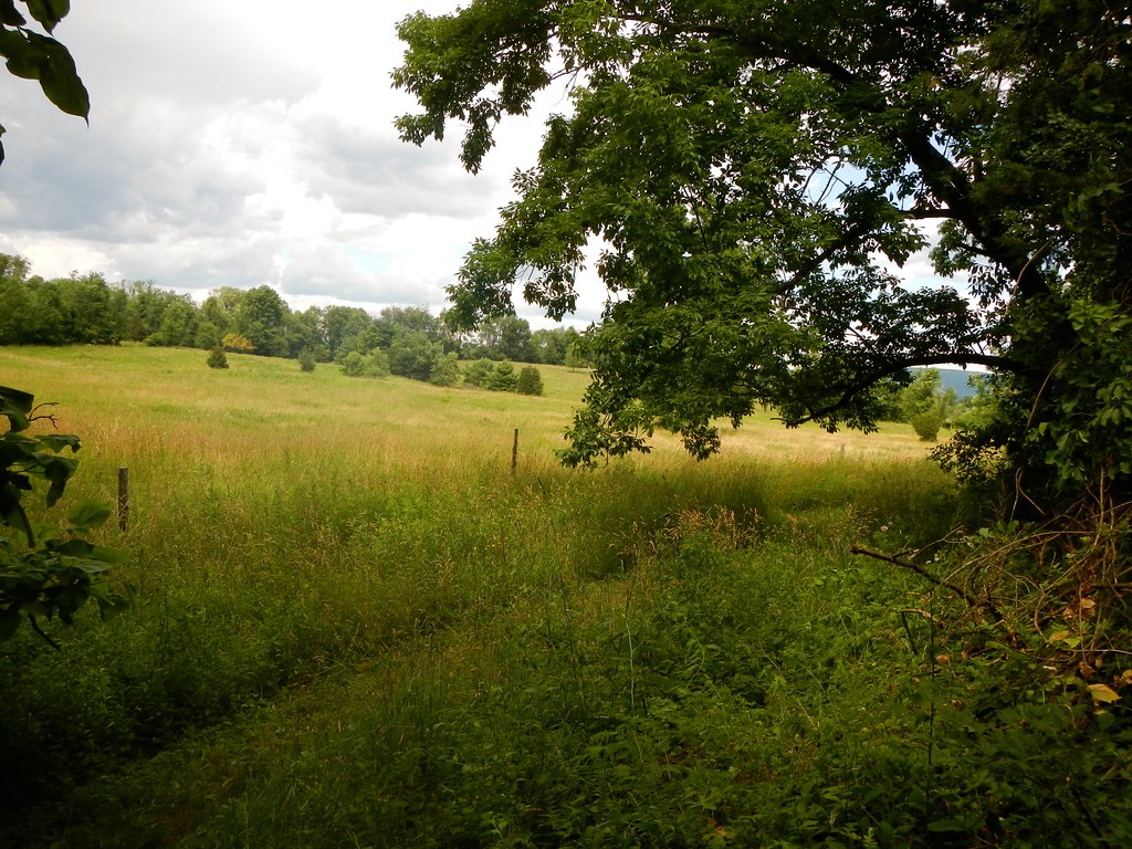 Appalachian TrailHiking · ~13 min drivePhoto: John Hayes (gravelboy), CC BY 2.0 (via Flickr)
- Elbow TrailHiking · ~11 min drivePhoto: John Hayes (gravelboy), CC BY 2.0 (via Flickr)
 Laurel TrailHiking · ~13 min drivePhoto: cm195902, CC BY 2.0 (via Flickr)
- Mt. FrissellHiking · ~13 min drivePhoto: cm195902, CC BY 2.0 (via Flickr)
 Tobey Bog TrailHiking · ~13 min drivePhoto: Magicpiano, CC BY-SA 3.0 (via Wikimedia Commons)
 Robert Brook TrailHiking · ~15 min drivePhoto: Russ Nelson, CC BY-SA 2.0 (via Flickr)
Best time to visit Bailey Trail
Best months: April and July–October. Best months have typical highs of 55–85 °F, lows of 30 °F or warmer (32 °F where the station doesn't record snow), at most one snowy day and no more than 12 wet days.
Jan
35° / 14°
10 wet
Feb
38° / 15°
9 wet
Mar
47° / 23°
11 wet
Apr
60° / 33°
12 wet
May
72° / 44°
13 wet
Jun
80° / 53°
13 wet
Jul
85° / 58°
12 wet
Aug
82° / 57°
11 wet
Sep
75° / 49°
10 wet
Oct
63° / 38°
11 wet
Nov
51° / 29°
11 wet
Dec
40° / 20°
12 wet
Typical high / low (°F) and days with rain or snow, 1991–2020. Measured at Falls Village, CT, 7.1 mi away at 550 ft. This station doesn't record snowfall. Source: NOAA NCEI U.S. Climate Normals 1991–2020.
Map and trail data © OpenStreetMap contributors
