Sage's Ravine
- Free
- fee
- Jul–Oct
- best months
Clear at last check
Weather is good · OpenWeather · checked 18 h ago
Is Sage's Ravine open right now?
Closure in the area
There's a closure order in Appalachian National Scenic Trail. It doesn't name Sage's Ravine, so check the source for the area it covers.
List of trail closures post-Hurricane Helene
Park closure covering Appalachian National Scenic Trail · NPS · Appalachian National Scenic Trail
Black Bears Frequenting the McAfee Knob Area in Virginia
Park alert covering Appalachian National Scenic Trail · NPS · Appalachian National Scenic Trail
As of · Source: NPS · Appalachian National Scenic Trail. Agencies don't list every closure — check before you go.
- At 1,534 ft
- Appalachian National Scenic Trail
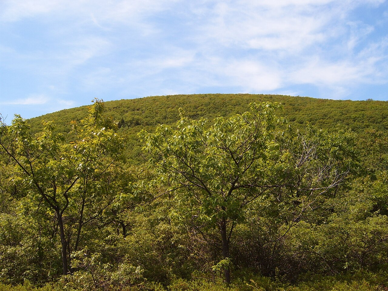
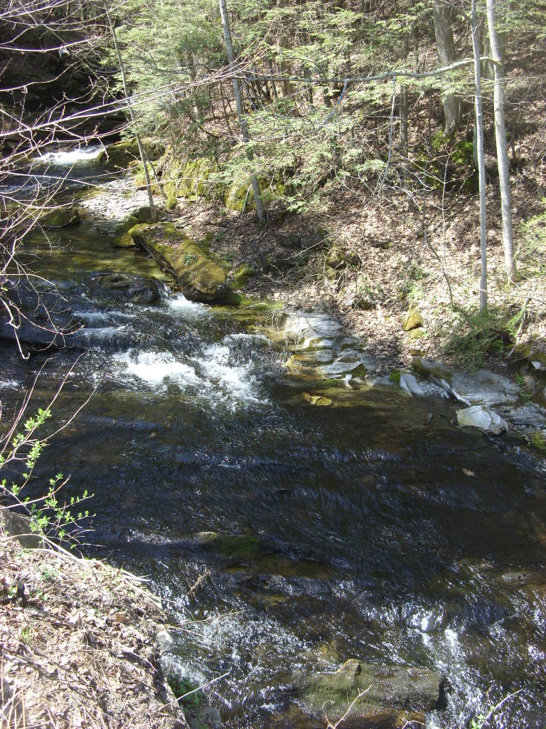
Sage's Ravine is a small campground in Massachusetts, set within the Appalachian National Scenic Trail corridor. It has about eight campsites, including one group site, and offers bear boxes and privies. An AMC host stays on site from Memorial Day through Labor Day. Summer is the most comfortable time to visit. Typical averages from a nearby weather station show July highs around 78°F with lows near 59°F, while winter brings highs in the 30s and regular snow days from December through February. The closest trails are Paradise Lane Trail, about 0.3 miles away, and the Appalachian Trail, about 0.6 miles away. Undermountain Trail and the Paradise Group Campsite Trail are both within about 1.6 miles.
Local outfitters
- Catskill Outfitters44 mi away
Not on Roamze yet. Their page has how to reach them.
Best time to go · Jul–Oct
Best time to visit Sage's Ravine
Best months: July–October. Best months have typical highs of 55–85 °F, lows of 30 °F or warmer (32 °F where the station doesn't record snow), at most one snowy day and no more than 12 wet days.
Jan
30° / 14°
13 wet · 9 snow
Feb
32° / 15°
12 wet · 8 snow
Mar
40° / 23°
13 wet · 7 snow
Apr
54° / 34°
13 wet · 2 snow
May
65° / 45°
14 wet
Jun
73° / 55°
13 wet
Jul
78° / 59°
12 wet
Aug
76° / 58°
11 wet
Sep
69° / 51°
11 wet
Oct
57° / 40°
12 wet
Nov
45° / 30°
12 wet · 3 snow
Dec
35° / 21°
14 wet · 7 snow
Typical high / low (°F) and days with rain or snow, 1991–2020. Measured at Norfolk 2 Sw, CT, 13.1 mi away at 1,340 ft. Source: NOAA NCEI U.S. Climate Normals 1991–2020.
Keep exploring — more campsites worth the drive
BED
Laurel Ridge Campsite
~1 min drive
BED
Ball Brook Group Camping Area
~4 min drive
Ball Brook Group Camping Area is a campground in Connecticut at about 1,724 feet. It is managed by the National Park Service.
BED
Race Brook Campsites
~5 min drive
Race Brook Campsites is a campground in Massachusetts at about 1,851 feet.
BED
Taconic State Park Campground
~10 min drive
Taconic State Park Campground is a campground in New York at about 765 feet, with 96 sites. It is managed by the state park agency.
BED
Ymca Camp Slone (Indian Mountain Road)
~13 min drive
BED
Belter's Campsites
~17 min drive
Belter's Campsites is a campground in Connecticut at about 732 feet. It is managed by the National Park Service.
BED
Lone Oak Campsites
~17 min drive
Lone Oak Campsites is a campground in Connecticut at about 800 feet.
BED
Sharon Mountain Campsite
~18 min drive
Sharon Mountain Campsite is a campground in Connecticut at about 1,092 feet.
BED
Dean's Ravine Campsite
~18 min drive
Dean's Ravine Campsite is a campground in Connecticut at about 673 feet.
BED
Long Rivers Council (Boy Scouts Of America)
~25 min drive
Map and trail data © OpenStreetMap contributors
