Stoney Lonesome Trail
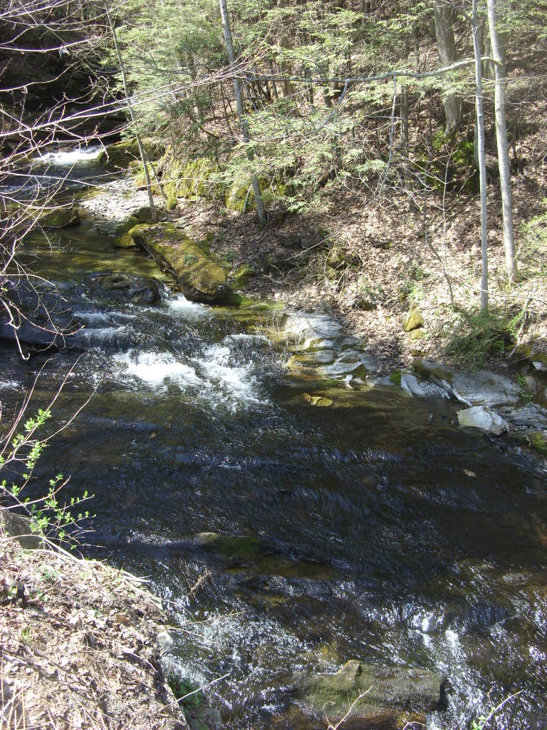
 Photo: pedrik, CC BY 2.0 (via Flickr)
- 1.4 mi
- round trip
- 921 ft
- climb
- 1,142 ft
- high point
- Out and back
- route
- Jul–Oct
- best months
Stoney Lonesome Trail is an easy out-and-back hike in Connecticut, about 0.6 miles from the town of West Norfolk. The trail is roughly 2.9 miles long, with a total elevation gain of 921 feet, and it is rated easy. The climb is steady, with the steepest stretch at about 0.83 miles in, where the grade reaches 14%. The trail starts at about 1,097 feet and reaches a high point of 1,142 feet before returning to the starting elevation. Summer is the most comfortable time to go. Typical averages from a nearby weather station show July highs around 78°F with lows near 59°F, while winter brings highs in the 30s and regular snow days from December through February. Haystack Tower Loop Trail is about 0.8 miles away, and Botelle Nature Trail and Tobey Bog Trail are both within about 2.4 miles. The Housatonic River, about 7.6 miles away, offers river fishing.
- Haystack Tower Loop TrailHikingPhoto: pedrik, CC BY 2.0 (via Flickr)0.8 mi
 Botelle Nature TrailHikingPhoto: Magicpiano, CC BY-SA 3.0 (via Wikimedia Commons)2.3 mi
 Tobey Bog TrailHikingPhoto: Magicpiano, CC BY-SA 3.0 (via Wikimedia Commons)2.4 mi
- Charcoal Pit TrailHikingPhoto: Magicpiano, CC BY-SA 3.0 (via Wikimedia Commons)2.8 mi
- Housatonic RiverRiver fishing7.6 mi
- Showcase BoulderRock climbing8.7 mi
- Waterfall Basin BouldersRock climbing8.7 mi
- Cloud ButtressRock climbing8.8 mi
Source: Roamze catalog (indexable pages within 10 miles, PostGIS distance)
- Haystack Tower Loop TrailHiking · ~1 min drivePhoto: pedrik, CC BY 2.0 (via Flickr)
 Appalachian TrailHiking · ~20 min drivePhoto: Dougtone, CC BY-SA 2.0 (via Flickr)
- Appalachian TrailHiking · ~20 min drive
- Botelle Nature TrailHiking · ~4 min drivePhoto: Magicpiano, CC BY-SA 3.0 (via Wikimedia Commons)
- Norbrook Woods RoadsHiking · ~7 min drive
- Tobey Bog TrailHiking · ~4 min drivePhoto: Magicpiano, CC BY-SA 3.0 (via Wikimedia Commons)
- Norbrook Bike TrailsHiking · ~8 min drive
- Charcoal Pit TrailHiking · ~5 min drivePhoto: Magicpiano, CC BY-SA 3.0 (via Wikimedia Commons)
- Number 4 TrailHiking · ~11 min drive
 Overlook TrailHiking · ~5 min drivePhoto: feelsgoodlost, CC BY-SA 2.0 (via Flickr)
Best time to visit Stoney Lonesome Trail
Best months: July–October. Best months have typical highs of 55–85 °F, lows of 30 °F or warmer (32 °F where the station doesn't record snow), at most one snowy day and no more than 12 wet days.
Jan
30° / 14°
13 wet · 9 snow
Feb
32° / 15°
12 wet · 8 snow
Mar
40° / 23°
13 wet · 7 snow
Apr
54° / 34°
13 wet · 2 snow
May
65° / 45°
14 wet
Jun
73° / 55°
13 wet
Jul
78° / 59°
12 wet
Aug
76° / 58°
11 wet
Sep
69° / 51°
11 wet
Oct
57° / 40°
12 wet
Nov
45° / 30°
12 wet · 3 snow
Dec
35° / 21°
14 wet · 7 snow
Typical high / low (°F) and days with rain or snow, 1991–2020. Measured at Norfolk 2 Sw, CT, 2.7 mi away at 1,340 ft. Source: NOAA NCEI U.S. Climate Normals 1991–2020.

Map and trail data © OpenStreetMap contributors
