Iron Mountain Trail
- 3.8 mi
- one way
- 863 ft
- climb
- 1,593 ft
- high point
- Point to point
- route
- Jul–Oct
- best months
Iron Mountain Trail is a 3.8-mile hike in Connecticut, about half a mile from the town of East Canaan. It is a point-to-point route, and the climb is the main feature: the trail rises from about 740 feet to 1,593 feet, a total gain of 863 feet, with the steepest stretch at about 0.95 miles in, where the grade reaches 23%. The trail also descends more than 1,500 feet, so the total loss is greater than the gain. Summer and early fall are the most comfortable times to go. Typical averages from a nearby weather station show July highs around 78°F and September highs near 69°F, with snow days common from December through March. The trip takes about 1.5 hours. The trail is rated easy, and the nearest towns and other routes are within a few miles. High Pocket Swamp Trail is about 3.7 miles away, and Stoney Lonesome Trail and Tobey Bog Trail are each about 3.9 miles off. The Housatonic River, a fishing spot across the state line in Massachusetts, is about 4.5 miles away.
Best time to go · Jul–Oct
Best time to visit Iron Mountain Trail
Best months: July–October. Best months have typical highs of 55–85 °F, lows of 30 °F or warmer (32 °F where the station doesn't record snow), at most one snowy day and no more than 12 wet days.
Jan
30° / 14°
13 wet · 9 snow
Feb
32° / 15°
12 wet · 8 snow
Mar
40° / 23°
13 wet · 7 snow
Apr
54° / 34°
13 wet · 2 snow
May
65° / 45°
14 wet
Jun
73° / 55°
13 wet
Jul
78° / 59°
12 wet
Aug
76° / 58°
11 wet
Sep
69° / 51°
11 wet
Oct
57° / 40°
12 wet
Nov
45° / 30°
12 wet · 3 snow
Dec
35° / 21°
14 wet · 7 snow
Typical high / low (°F) and days with rain or snow, 1991–2020. Measured at Norfolk 2 Sw, CT, 4.5 mi away at 1,340 ft. Source: NOAA NCEI U.S. Climate Normals 1991–2020.
Keep exploring — more trails worth the drive
 Photo: pedrik, CC BY 2.0 (via Flickr)
Stoney Lonesome Trail
~7 min drive
2.88-mile out-and-back trail in Connecticut with 921 ft elevation gain
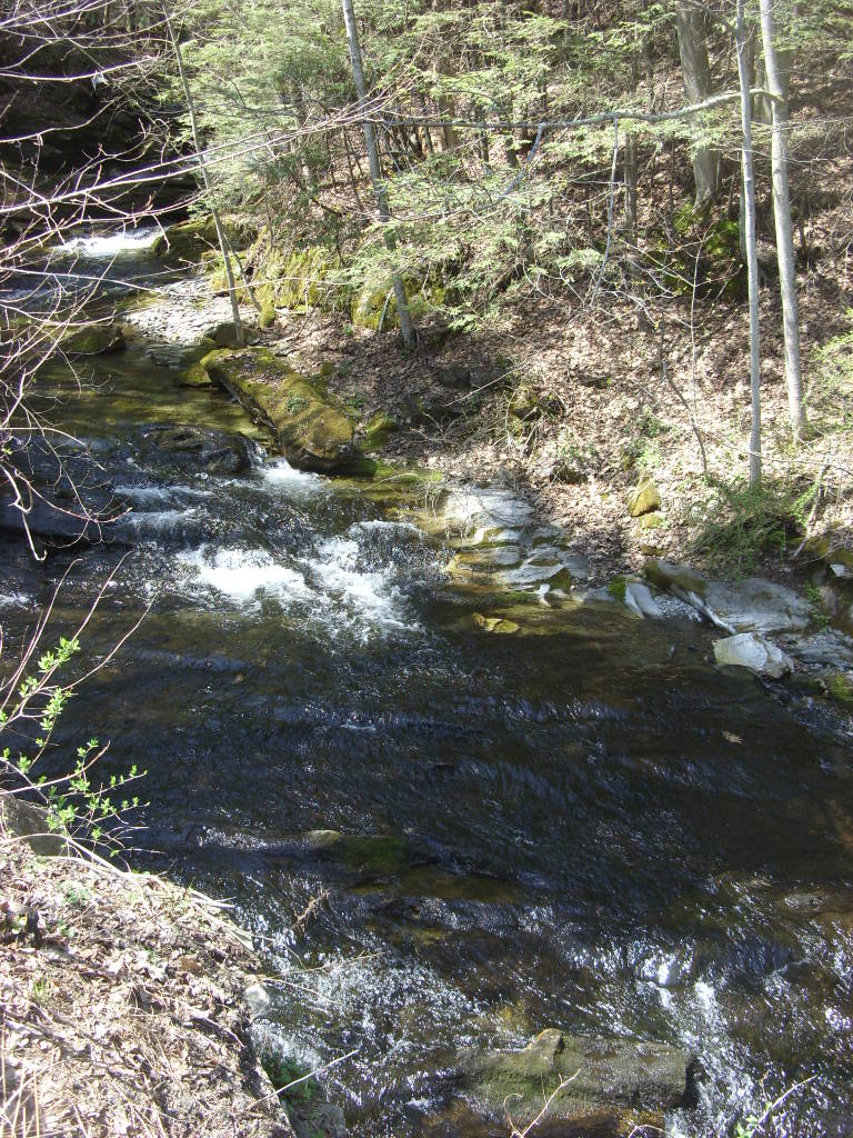 Photo: Dougtone, CC BY-SA 2.0 (via Flickr)
Appalachian Trail
~14 min drive
3.54-mile out-and-back on the Appalachian Trail in Massachusetts with 1,117 ft gain/loss.
HIKE
Appalachian Trail
~18 min drive
12.1-mile out-and-back on the Appalachian Trail in Massachusetts with 3,032 ft elevation gain
 Photo: Magicpiano, CC BY-SA 3.0 (via Wikimedia Commons)
Tobey Bog Trail
~7 min drive
0.70-mile point-to-point trail in Connecticut with 34 ft gain and 186 ft loss.
 Photo: John Hayes (gravelboy), CC BY 2.0 (via Flickr)
Race Brook Trail
~16 min drive
3.86-mile out-and-back trail in Massachusetts with 1,554 ft elevation gain.
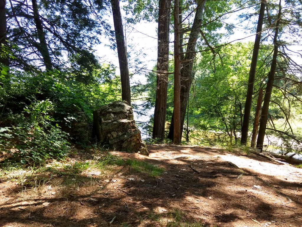 Photo: bradipo, CC BY 2.0 (via Flickr)
Bailey Trail
~7 min drive
1.19-mile lollipop trail in Massachusetts with 416 ft gain.
Photo: John Hayes (gravelboy), CC BY 2.0 (via Flickr)Elbow Trail
~18 min drive
2.24-mile out-and-back trail in Massachusetts with 1,339 ft elevation gain
Photo: Magicpiano, CC BY-SA 3.0 (via Wikimedia Commons)Charcoal Pit Trail
~7 min drive
Charcoal Pit Trail is a 1.29-mile point-to-point trail in Connecticut with 77 feet of elevation gain.
HIKE
Number 4 Trail
~11 min drive
8.0-mile out-and-back trail in Connecticut with 1,347 ft gain and 1,615 ft max elevation.
Photo: pedrik, CC BY 2.0 (via Flickr)Haystack Tower Loop Trail
~8 min drive
Point-to-point trail to historic Haystack Tower with scenic views.
Map and trail data © OpenStreetMap contributors
