Appalachian Trail
- 6.1 mi
- round trip
- 3,032 ft
- climb
- 1,800 ft
- high point
- Out and back
- route
- Jul–Oct
- best months
The Appalachian Trail in Massachusetts is a 12.1-mile out-and-back route that starts and ends at about 700 feet, with a high point of 1,800 feet. The climb is rolling, and the total gain and loss are each about 3,000 feet. The steepest stretch comes within the first 0.06 miles, with a grade of about 31 percent. The trail is rated hard, and the nearest town is Brookside, about 1.3 miles away. Summer is the most comfortable time to go. Typical averages from a nearby weather station show July highs around 78°F and lows near 59°F, while winter brings highs in the 30s and regular snow days from December through February. Nearby options include Simon's Rock Interpretive Trail, about 4 miles away, and Threemile Hill Trail, about 5 miles away. The Housatonic River, roughly 6.5 miles off, offers river fishing, and Sage's Ravine campground is about 9 miles away.
- Simon's Rock Interpretive TrailHiking4.1 mi
 Threemile Hill TrailHikingPhoto: clembore, CC BY-SA 2.0 (via Flickr)4.8 mi
- Blue TrailHiking5.1 mi
- Yellow TrailHiking5.1 mi
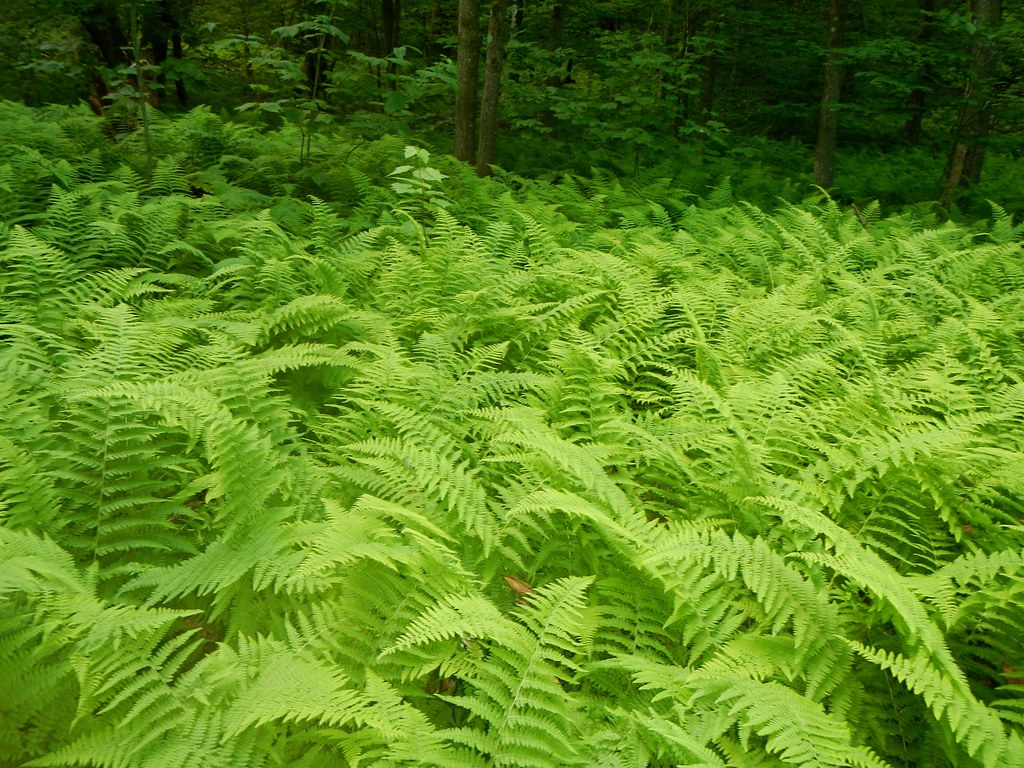 Elbow TrailHikingPhoto: John Hayes (gravelboy), CC BY 2.0 (via Flickr)5.2 mi
- Upper Jug End Loop TrailHiking5.4 mi
- Housatonic RiverRiver fishing6.5 mi
- Sage's RavineCamping9 mi
Source: Roamze catalog (indexable pages within 10 miles, PostGIS distance)
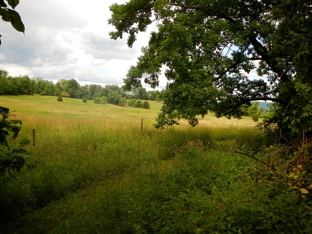 Appalachian TrailHiking · ~7 min drivePhoto: John Hayes (gravelboy), CC BY 2.0 (via Flickr)
 Appalachian TrailHiking · ~9 min drivePhoto: clembore, CC BY-SA 2.0 (via Flickr)
- Appalachian TrailHiking · ~13 min drive
- Threemile Hill TrailHiking · ~8 min drivePhoto: clembore, CC BY-SA 2.0 (via Flickr)
- Elbow TrailHiking · ~9 min drivePhoto: John Hayes (gravelboy), CC BY 2.0 (via Flickr)
 Unmaintained trailHiking · ~11 min drivePhoto: clembore, CC BY-SA 2.0 (via Flickr)
 Hickey and Peeskawso LoopHiking · ~10 min drivePhoto: clembore, CC BY-SA 2.0 (via Flickr)
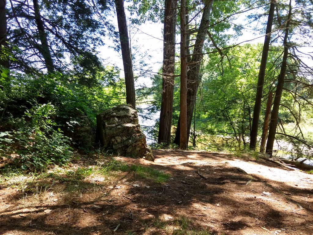 Bailey TrailHiking · ~12 min drivePhoto: bradipo, CC BY 2.0 (via Flickr)
 Longview Loop TrailHiking · ~11 min drivePhoto: genericface, CC BY-SA 2.0 (via Flickr)
 Beebe TrailHiking · ~12 min drivePhoto: clembore, CC BY-SA 2.0 (via Flickr)
Best time to visit Appalachian Trail
Best months: July–October. Best months have typical highs of 55–85 °F, lows of 30 °F or warmer (32 °F where the station doesn't record snow), at most one snowy day and no more than 12 wet days.
Jan
30° / 14°
13 wet · 9 snow
Feb
32° / 15°
12 wet · 8 snow
Mar
40° / 23°
13 wet · 7 snow
Apr
54° / 34°
13 wet · 2 snow
May
65° / 45°
14 wet
Jun
73° / 55°
13 wet
Jul
78° / 59°
12 wet
Aug
76° / 58°
11 wet
Sep
69° / 51°
11 wet
Oct
57° / 40°
12 wet
Nov
45° / 30°
12 wet · 3 snow
Dec
35° / 21°
14 wet · 7 snow
Typical high / low (°F) and days with rain or snow, 1991–2020. Measured at Norfolk 2 Sw, CT, 14 mi away at 1,340 ft. Source: NOAA NCEI U.S. Climate Normals 1991–2020.


Map and trail data © OpenStreetMap contributors
