Pogo Memorial AT Camping Area
Campground
Campground · 0.6 mi from the trail
Closure in the area
There's a closure order in Appalachian National Scenic Trail. It doesn't name Lower Overlook, so check the source for the area it covers.
List of trail closures post-Hurricane Helene
Park closure covering Appalachian National Scenic Trail · NPS · Appalachian National Scenic Trail
Black Bears Frequenting the McAfee Knob Area in Virginia
Park alert covering Appalachian National Scenic Trail · NPS · Appalachian National Scenic Trail
As of · Source: NPS · Appalachian National Scenic Trail. Agencies don't list every closure — check before you go.
Lower Overlook is a rock climbing area in Maryland, set within South Mountain State Park on land also crossed by the Appalachian National Scenic Trail. The State Department of Natural Resources manages the land. The area sits among several climbing spots, with Faint's Roof and Black Rock each about a tenth of a mile away. Argo Rock is about a mile off. That makes it easy to pair with other climbs in the park. The climbing here is all traditional, and the routes run from 5.5 to 5.6 on the YDS scale. Among the five routes are Learning Curve - Left and Right at 5.5 and A Voice In the Wilderness at 5.6. For comfortable weather, aim for late spring or early fall. Typical averages from the Catoctin Mtn Park weather station, about 8 miles away, show May highs near 73°F and September highs near 75°F. July is the warmest month, with highs around 84°F. Nearby options include Bartmans Hill Trail for hiking and Adirondack Shelters for camping, both within about 8 miles.
Pogo Memorial AT Camping Area
Campground
 If it rainsAcroterion, CC BY-SA 4.0 · Wikimedia Commons
Schifferstadt Architectural Museum
Museum
Places © OpenStreetMap contributors, Places © Overture Maps Foundation · Photos: Acroterion, CC BY-SA 4.0 (commons)
More in Ballenger Creek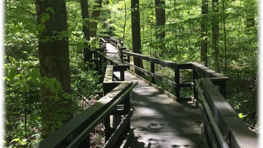 Adirondack SheltersCampingPhoto: Recreation.gov (RIDB) / public domain7.7 mi
Source: Roamze catalog (indexable pages within 10 miles, PostGIS distance)
 Cliff Trail BouldersRock climbing · ~14 min drivePhoto: Jarek Tuszyński, CC BY 4.0 (via Wikimedia Commons)Cunningham FallsRock climbing · ~14 min drivePhoto: Jarek Tuszyński, CC BY 4.0 (via Wikimedia Commons)Chief BlockRock climbing · ~14 min drivePhoto: Jarek Tuszyński, CC BY 4.0 (via Wikimedia Commons)
 The Main WallRock climbing · ~16 min drivePhoto: TrailVoice, CC BY-SA 2.0 (via Wikimedia Commons)Wolf RockRock climbing · ~16 min drivePhoto: TrailVoice, CC BY-SA 2.0 (via Wikimedia Commons)Wolf's Head PillarRock climbing · ~16 min drivePhoto: TrailVoice, CC BY-SA 2.0 (via Wikimedia Commons)
Best months: April and June–October. Best months have typical highs of 55–85 °F, lows of 30 °F or warmer (32 °F where the station doesn't record snow), at most one snowy day and no more than 12 wet days.
Jan
39° / 23°
10 wet
Feb
42° / 25°
9 wet
Mar
52° / 31°
12 wet
Apr
65° / 42°
12 wet
May
73° / 52°
14 wet
Jun
80° / 60°
12 wet
Jul
84° / 65°
12 wet
Aug
81° / 63°
12 wet
Sep
75° / 58°
11 wet
Oct
65° / 46°
11 wet
Nov
53° / 36°
11 wet
Dec
43° / 28°
10 wet
Typical high / low (°F) and days with rain or snow, 1991–2020. Measured at Catoctin Mtn Park, MD, 7.9 mi away at 1,610 ft. This station doesn't record snowfall. Source: NOAA NCEI U.S. Climate Normals 1991–2020.

