Cunningham Falls State Park Campground
Campground
Campground · 1.1 mi from the trail
 Photo: Nicolas Raymond from Bethesda, Maryland, USA, CC BY 2.0 (via Wikimedia Commons)
Cat Rock Trail is a moderate 2.6-mile hike in Maryland, about 0.8 miles from the community of Hunting Creek Acres. The trail gains 785 feet in elevation, with the high point at 1,758 feet, and its climb is back-loaded, meaning the steeper stretch comes toward the end. The most comfortable months for a visit are typically late spring and early fall. Typical averages from a nearby weather station show May highs around 73°F and September highs around 75°F, with July peaking near 84°F. The trail is not wheelchair accessible, and bikes are not allowed. The trip takes about 1.5 hours. Cunningham Falls State Park lies just 0.3 miles away, with Bear Rocks at 0.6 miles and Bob’s Hill Trail at 0.8 miles. Cunningham Falls State Park Campground is about 1.1 miles off.
Cunningham Falls State Park Campground
Campground
Los Amigos
Restaurant
 If it rainsAcroterion, CC BY-SA 4.0 · Wikimedia Commons
Schifferstadt Architectural Museum
Museum
Places © OpenStreetMap contributors · Photos: Acroterion, CC BY-SA 4.0 (commons)
More in Ballenger CreekNot on Roamze yet. Their page has how to reach them.
Best months: April and June–October. Best months have typical highs of 55–85 °F, lows of 30 °F or warmer (32 °F where the station doesn't record snow), at most one snowy day and no more than 12 wet days.
Jan
39° / 23°
10 wet
Feb
42° / 25°
9 wet
Mar
52° / 31°
12 wet
Apr
65° / 42°
12 wet
May
73° / 52°
14 wet
Jun
80° / 60°
12 wet
Jul
84° / 65°
12 wet
Aug
81° / 63°
12 wet
Sep
75° / 58°
11 wet
Oct
65° / 46°
11 wet
Nov
53° / 36°
11 wet
Dec
43° / 28°
10 wet
Typical high / low (°F) and days with rain or snow, 1991–2020. Measured at Catoctin Mtn Park, MD, 3 mi away at 1,610 ft. This station doesn't record snowfall. Source: NOAA NCEI U.S. Climate Normals 1991–2020.
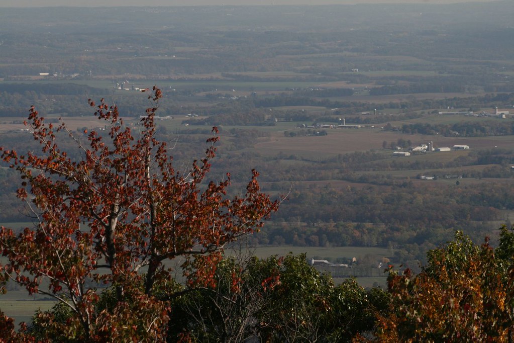 Photo: PBoGS, CC BY-SA 2.0 (via Flickr)
Bob’s Hill Trail
~1 min drive
Quick point-to-point trail perfect for a short Maryland hike.
 Photo: John Brighenti, CC BY 2.0 (via Flickr)
Cliff Trail
~3 min drive
Short point-to-point Maryland trail featuring cliff views and scenic geology.
HIKE
Appalachian National Scenic Trail
~14 min drive
173.17-mile point-to-point trail in Maryland with 20,060 ft of elevation gain
HIKE
Yellow Poplar Trail
~17 min drive
6.25-mile point-to-point Maryland trail through yellow poplar woodlands.
Photo: Nicolas Raymond from Bethesda, Maryland, USA, CC BY 2.0 (via Wikimedia Commons)Old Misery Trail
~2 min drive
Old Misery Trail is a 1.19-mile point-to-point trail in Maryland with 418 ft gain.
 Photo: John Brighenti, CC BY 2.0 (via Flickr)
Campground Trail
~3 min drive
0.32-mile point-to-point trail in Maryland with 126 ft of elevation gain
 Photo: John Brighenti, CC BY 2.0 (via Flickr)
Lower Trail
~3 min drive
0.50-mile point-to-point trail in Maryland with 180 ft gain and 225 ft loss.
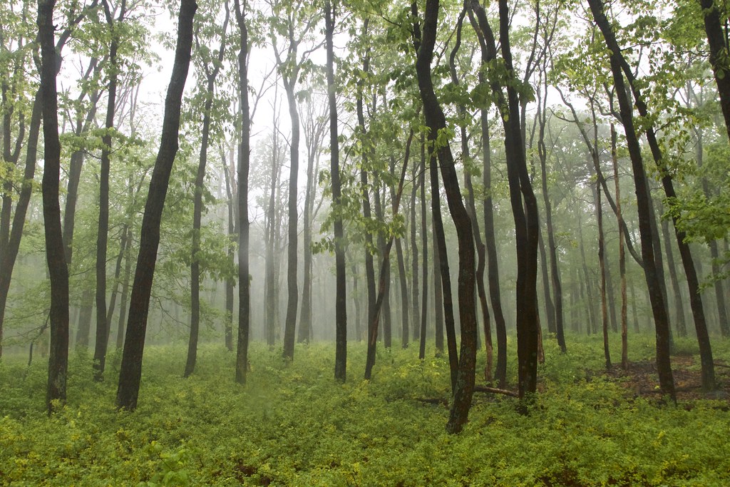 Photo: beyond_the_sea01, Public Domain Mark (via Flickr)
Thurmont Vista Loop Trail
~4 min drive
0.74-mile point-to-point trail in Maryland with 126 ft gain
Photo: John Brighenti, CC BY 2.0 (via Flickr)Hog Rock Loop Trail
~3 min drive
A scenic 3.91-mile point-to-point trail through Maryland woodlands.
Photo: beyond_the_sea01, Public Domain Mark (via Flickr)TR-4 Whiskey Still Trail
~4 min drive
0.86-mile out-and-back trail in Maryland with 341 ft gain.
Also worth it near here
 Photo: Jarek Tuszyński, CC BY 4.0 (via Wikimedia Commons)
Cliff Trail Boulders
~3 min drive
SEE
Cunningham Falls
~3 min drive
 Photo: Unknown authorUnknown author or not provided, Public domain (via Wikimedia Commons)
Chimney Rock
~4 min drive
 Photo: Acroterion, CC BY-SA 4.0 (via Wikimedia Commons)
Camp Greentop Historic District
~5 min drive
Map and trail data © OpenStreetMap contributors
