Catoctin Quaker Camp
Campground
Campground · 1.7 mi from the trail
Closed Trail is a short out-and-back route in Maryland covering 0.69 miles with 287 feet of elevation loss.
Catoctin Quaker Camp
Campground
 If it rainsAcroterion, CC BY-SA 4.0 · Wikimedia Commons
Schifferstadt Architectural Museum
Museum
Places © OpenStreetMap contributors · Photos: Acroterion, CC BY-SA 4.0 (commons)
More in Ballenger CreekNot on Roamze yet. Their page has how to reach them.
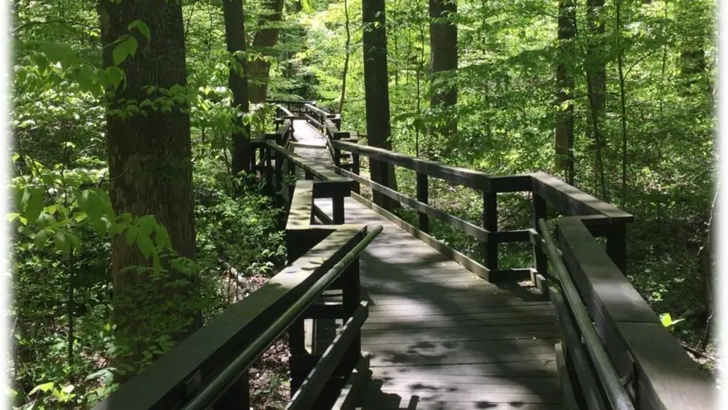 Adirondack SheltersCampingPhoto: Recreation.gov (RIDB) / public domain6.1 mi
Source: Roamze catalog (indexable pages within 10 miles, PostGIS distance)
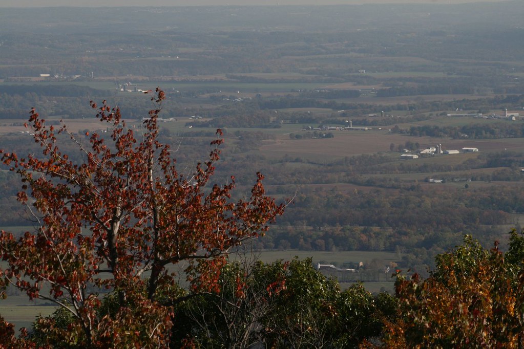 Bob’s Hill TrailHiking · ~6 min drivePhoto: PBoGS, CC BY-SA 2.0 (via Flickr)
 Cliff TrailHiking · ~9 min drivePhoto: John Brighenti, CC BY 2.0 (via Flickr)
 Cat Rock TrailHiking · ~6 min drivePhoto: Nicolas Raymond from Bethesda, Maryland, USA, CC BY 2.0 (via Wikimedia Commons)
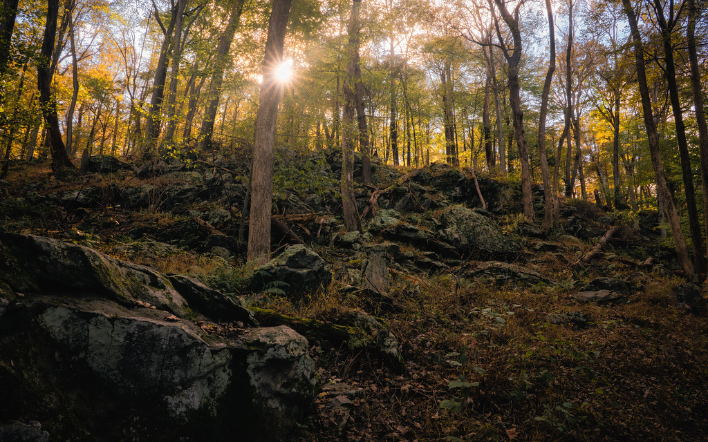 Campground TrailHiking · ~9 min drivePhoto: John Brighenti, CC BY 2.0 (via Flickr)Old Misery TrailHiking · ~9 min drivePhoto: Nicolas Raymond from Bethesda, Maryland, USA, CC BY 2.0 (via Wikimedia Commons)
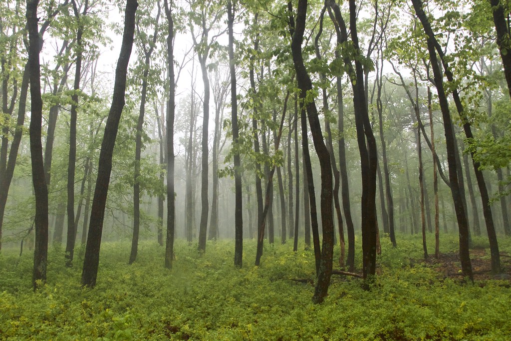 Thurmont Vista Loop TrailHiking · ~11 min drivePhoto: beyond_the_sea01, Public Domain Mark (via Flickr)
 Lower TrailHiking · ~9 min drivePhoto: John Brighenti, CC BY 2.0 (via Flickr)
 Hog Rock Nature TrailHiking · ~11 min drivePhoto: beyond_the_sea01, Public Domain Mark (via Flickr)Hog Rock Loop TrailHiking · ~9 min drivePhoto: John Brighenti, CC BY 2.0 (via Flickr)
Best months: April and June–October. Best months have typical highs of 55–85 °F, lows of 30 °F or warmer (32 °F where the station doesn't record snow), at most one snowy day and no more than 12 wet days.
Jan
39° / 23°
10 wet
Feb
42° / 25°
9 wet
Mar
52° / 31°
12 wet
Apr
65° / 42°
12 wet
May
73° / 52°
14 wet
Jun
80° / 60°
12 wet
Jul
84° / 65°
12 wet
Aug
81° / 63°
12 wet
Sep
75° / 58°
11 wet
Oct
65° / 46°
11 wet
Nov
53° / 36°
11 wet
Dec
43° / 28°
10 wet
Typical high / low (°F) and days with rain or snow, 1991–2020. Measured at Catoctin Mtn Park, MD, 6.2 mi away at 1,610 ft. This station doesn't record snowfall. Source: NOAA NCEI U.S. Climate Normals 1991–2020.
Map and trail data © OpenStreetMap contributors


