Cash Lake Trail
 Photo: krossbow — CC BY 2.0 (via Flickr)
- 1.5 mi
- loop
- 123 ft
- high point
- Loop
- route
- Easy
- difficulty
- Apr–Jun, Sep–Nov
- best months
Cash Lake Trail is a 1.5-mile loop on Patuxent Research Refuge in Maryland, managed by the U.S. Fish and Wildlife Service. The route is rated easy, with no elevation gain, and it sits at a low point of about 107 feet, rising to a high of about 123 feet. The trail is not wheelchair accessible, and bikes and horses are not allowed. Spring and fall are the most comfortable times to go. Typical averages from a nearby weather station show May highs around 75°F and October highs around 68°F, while July averages about 88°F. The Fire Road Trail starts about 0.2 miles away and the Valley Trail about 0.4 miles away. Wingate Park Trail is roughly 2.6 miles off, and Greenbelt Park Picnic Areas, about 6 miles away, offers a place to picnic.
 Fire Road TrailHikingPhoto: Mr.TinMD, CC BY 2.0 (via Flickr)0.2 mi
 Valley TrailHikingPhoto: krossbow, CC BY 2.0 (via Flickr)0.4 mi
- Wingate Park TrailHiking2.6 mi
- Merganser Pond TrailHiking3.2 mi
- Greenbelt Park Picnic AreasCamping6.1 mi
- The Great BoulderRock climbing7 mi
- The Easy BoulderRock climbing7 mi
- The Horizontal BoulderRock climbing7 mi
Source: Roamze catalog (indexable pages within 10 miles, PostGIS distance)
- Fire Road TrailHiking · Next doorPhoto: Mr.TinMD, CC BY 2.0 (via Flickr)
- Valley TrailHiking · Next doorPhoto: krossbow, CC BY 2.0 (via Flickr)
- Washington, Baltimore & Annapolis TrailHiking · ~7 min drive
 Little Patuxent River TrailHiking · ~6 min drivePhoto: krossbow, CC BY 2.0 (via Flickr)
- Perimeter TrailHiking · ~11 min drive
- Adt - Maryland - Seg 2Hiking · ~10 min drive
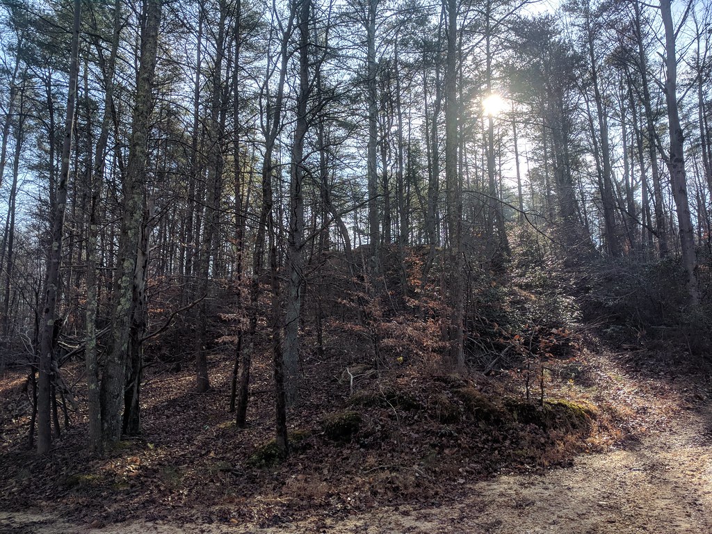 Fox Den LoopHiking · ~7 min drivePhoto: gabeclassonarchive2, CC BY 2.0 (via Flickr)
- Pine TrailHiking · ~7 min drivePhoto: krossbow, CC BY 2.0 (via Flickr)
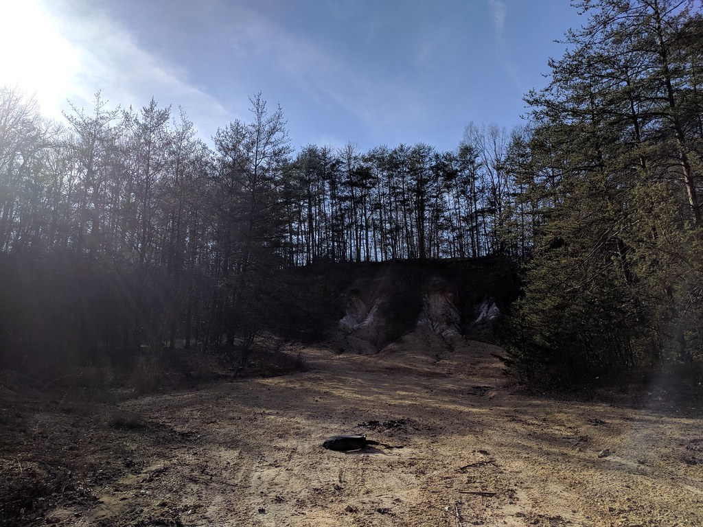 Heron LoopHiking · ~7 min drivePhoto: gabeclassonarchive2, CC BY 2.0 (via Flickr)
- Duck Cove Pond LoopHiking · ~7 min drivePhoto: gabeclassonarchive2, CC BY 2.0 (via Flickr)
Best time to visit Cash Lake Trail
Best months: April–June and September–November. Best months have typical highs of 55–85 °F, lows of 30 °F or warmer (32 °F where the station doesn't record snow), at most one snowy day and no more than 12 wet days.
Jan
44° / 22°
Feb
47° / 23°
Mar
55° / 31°
Apr
66° / 41°
May
75° / 51°
Jun
82° / 61°
Jul
88° / 66°
Aug
87° / 65°
Sep
79° / 57°
Oct
68° / 44°
Nov
57° / 33°
Dec
48° / 27°
Typical high / low (°F) and days with rain or snow, 1991–2020. Measured at Glenn Dale Bell Stn, MD, 4.2 mi away at 150 ft. This station doesn't record snowfall. Source: NOAA NCEI U.S. Climate Normals 1991–2020.
Map and trail data © OpenStreetMap contributors
