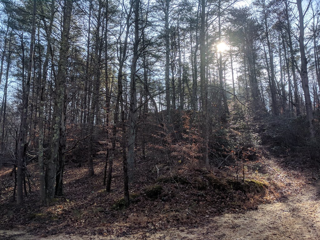
Little Patuxent River Trail
 Photo: krossbow, CC BY 2.0 (via Flickr)
- 0.4 mi
- round trip
- 24 ft
- climb
- 113 ft
- high point
- Out and back
- route
- Mar–Jun, Sep–Nov
- best months
The Little Patuxent River Trail is a short, easy walk on the Patuxent Research Refuge in Maryland, managed by the U.S. Fish and Wildlife Service. The route is about 0.7 miles long and is an out-and-back, with a total elevation gain of about 24 feet. The trail is flat, and the high point is about 113 feet, so it is a gentle outing that can be done in half an hour or so. Spring and fall are the most comfortable times to go. Typical averages from a nearby weather station in Baltimore show May highs around 76°F and October highs around 68°F, while July averages about 89°F. Several other trails start close by. The Forest Trail is about 0.4 miles away and the Merganser Pond Trail about 0.5 miles. The Pine Trail is roughly 0.8 miles off, and the Duck Cove Pond Loop is about 2.9 miles away.
- Forest TrailHiking0.4 mi
- Merganser Pond TrailHiking0.5 mi
- Pine TrailHikingPhoto: krossbow, CC BY 2.0 (via Flickr)0.8 mi
 Duck Cove Pond LoopHikingPhoto: gabeclassonarchive2, CC BY 2.0 (via Flickr)2.9 mi
- The Great BoulderRock climbing5.9 mi
- The Easy BoulderRock climbing5.9 mi
- The Horizontal BoulderRock climbing6 mi
- Greenbelt Park Picnic AreasCamping9.3 mi
Source: Roamze catalog (indexable pages within 10 miles, PostGIS distance)
- Pine TrailHiking · ~1 min drivePhoto: krossbow, CC BY 2.0 (via Flickr)
 Valley TrailHiking · ~6 min drivePhoto: krossbow, CC BY 2.0 (via Flickr)
- Washington, Baltimore & Annapolis TrailHiking · ~13 min drive
- Duck Cove Pond LoopHiking · ~5 min drivePhoto: gabeclassonarchive2, CC BY 2.0 (via Flickr)
- Fox Den LoopHiking · ~5 min drivePhoto: gabeclassonarchive2, CC BY 2.0 (via Flickr)
 Heron LoopHiking · ~5 min drivePhoto: gabeclassonarchive2, CC BY 2.0 (via Flickr)
- Vernal Pool PathHiking · ~5 min drivePhoto: gabeclassonarchive2, CC BY 2.0 (via Flickr)
- Lone Wolf TrailHiking · ~6 min drivePhoto: gabeclassonarchive2, CC BY 2.0 (via Flickr)
 Fire Road TrailHiking · ~6 min drivePhoto: Mr.TinMD, CC BY 2.0 (via Flickr)
 Cash Lake TrailHiking · ~6 min drivePhoto: krossbow — CC BY 2.0 (via Flickr)
Best time to visit Little Patuxent River Trail
Best months: March–June and September–November. Best months have typical highs of 55–85 °F, lows of 30 °F or warmer (32 °F where the station doesn't record snow), at most one snowy day and no more than 12 wet days.
Jan
43° / 25°
10 wet · 3 snow
Feb
46° / 27°
9 wet · 3 snow
Mar
55° / 34°
11 wet · 1 snow
Apr
66° / 44°
11 wet
May
76° / 53°
12 wet
Jun
84° / 63°
11 wet
Jul
89° / 68°
10 wet
Aug
87° / 66°
10 wet
Sep
80° / 59°
9 wet
Oct
68° / 46°
9 wet
Nov
57° / 36°
9 wet
Dec
48° / 30°
10 wet · 1 snow
Typical high / low (°F) and days with rain or snow, 1991–2020. Measured at Baltimore Wash Intl Ap, MD, 7.6 mi away at 156 ft. Source: NOAA NCEI U.S. Climate Normals 1991–2020.

