Merganser Pond Trail
- 0.4 mi
- round trip
- 124 ft
- climb
- 148 ft
- high point
- Out and back
- route
- Apr–Jun, Sep–Nov
- best months
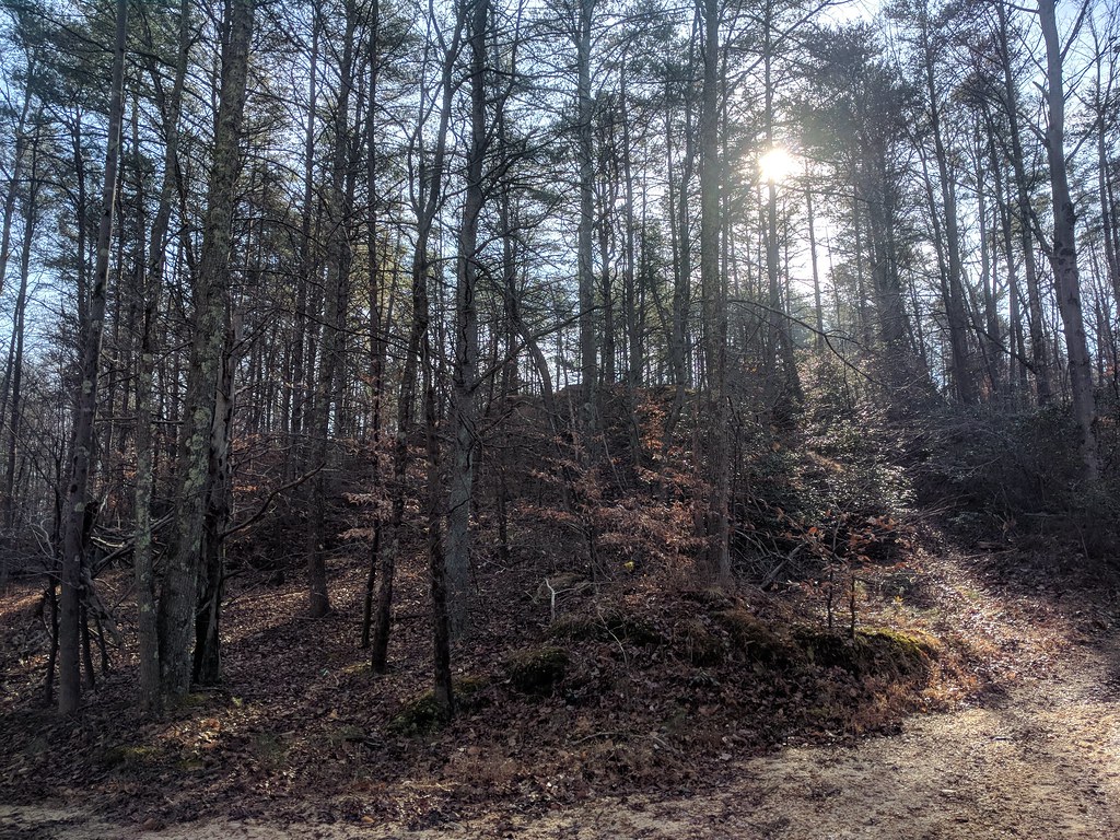
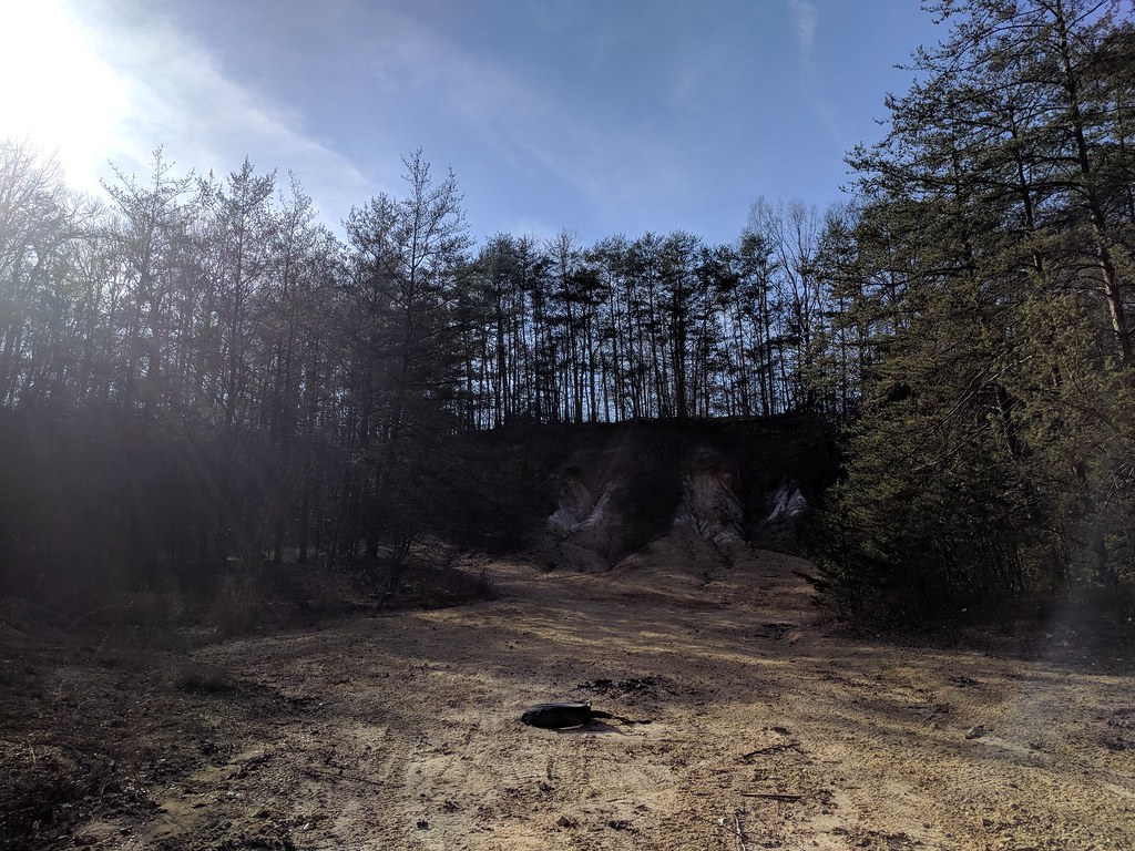
Merganser Pond Trail is a short, easy hike on Patuxent Research Refuge in Maryland, managed by the U.S. Fish and Wildlife Service. The trail is about 0.44 miles long and is an out-and-back route, with a total climb of about 124 feet and a steepest grade of about 4% near the start. Spring and fall are the most comfortable times to go. Typical averages from a nearby weather station show May highs around 75°F and October highs around 68°F, while July highs reach about 88°F. Several other trails sit close by. Forest Trail is about 0.2 miles away, Little Patuxent River Trail is about 0.5 miles away, and Pine Trail is about 1.2 miles away. Climbers can find Great Boulder about 5.8 miles away.
- Forest TrailHiking0.2 mi
 Little Patuxent River TrailHikingPhoto: krossbow, CC BY 2.0 (via Flickr)0.5 mi
- Pine TrailHikingPhoto: krossbow, CC BY 2.0 (via Flickr)1.2 mi
 Valley TrailHikingPhoto: krossbow, CC BY 2.0 (via Flickr)2.9 mi
- The Great BoulderRock climbing5.8 mi
- The Easy BoulderRock climbing5.8 mi
- The Horizontal BoulderRock climbing5.8 mi
- Greenbelt Park Picnic AreasCamping8.8 mi
Source: Roamze catalog (indexable pages within 10 miles, PostGIS distance)
- Little Patuxent River TrailHiking · Next doorPhoto: krossbow, CC BY 2.0 (via Flickr)
- Valley TrailHiking · ~5 min drivePhoto: krossbow, CC BY 2.0 (via Flickr)
- Washington, Baltimore & Annapolis TrailHiking · ~12 min drive
- Pine TrailHiking · ~2 min drivePhoto: krossbow, CC BY 2.0 (via Flickr)
 Duck Cove Pond LoopHiking · ~5 min drivePhoto: gabeclassonarchive2, CC BY 2.0 (via Flickr)
 Fire Road TrailHiking · ~5 min drivePhoto: Mr.TinMD, CC BY 2.0 (via Flickr)
- Fox Den LoopHiking · ~5 min drivePhoto: gabeclassonarchive2, CC BY 2.0 (via Flickr)
 Heron LoopHiking · ~5 min drivePhoto: gabeclassonarchive2, CC BY 2.0 (via Flickr)
- Vernal Pool PathHiking · ~5 min drivePhoto: gabeclassonarchive2, CC BY 2.0 (via Flickr)
 Cash Lake TrailHiking · ~5 min drivePhoto: krossbow — CC BY 2.0 (via Flickr)
Best time to visit Merganser Pond Trail
Best months: April–June and September–November. Best months have typical highs of 55–85 °F, lows of 30 °F or warmer (32 °F where the station doesn't record snow), at most one snowy day and no more than 12 wet days.
Jan
44° / 22°
Feb
47° / 23°
Mar
55° / 31°
Apr
66° / 41°
May
75° / 51°
Jun
82° / 61°
Jul
88° / 66°
Aug
87° / 65°
Sep
79° / 57°
Oct
68° / 44°
Nov
57° / 33°
Dec
48° / 27°
Typical high / low (°F) and days with rain or snow, 1991–2020. Measured at Glenn Dale Bell Stn, MD, 7.3 mi away at 150 ft. This station doesn't record snowfall. Source: NOAA NCEI U.S. Climate Normals 1991–2020.

