Valley Trail
 Photo: krossbow, CC BY 2.0 (via Flickr)
- 0.5 mi
- one way
- 32 ft
- climb
- 153 ft
- high point
- Point to point
- route
- Apr–Jun, Sep–Nov
- best months
Valley Trail is a short, moderate hike of about half a mile on Patuxent Research Refuge in Maryland, managed by the U.S. Fish and Wildlife Service. The route is a point-to-point walk with a low point of 112 feet and a high of 153 feet, and it gains about 32 feet of elevation along the way. The climb is mostly flat, with the steepest stretch at about 3% grade near the start. Spring and fall are the most comfortable times to go. Typical averages from a nearby weather station show May highs around 75°F and October highs around 68°F, while July averages climb to about 88°F. The trail is open year-round, and the route is short enough to fit into a half-day. Bikes and horses are not allowed. Fire Road Trail and Cash Lake Trail both lie about 0.4 miles away, and Wingate Park Trail is roughly 2.9 miles off. For a picnic, Greenbelt Park Picnic Areas is about 6.4 miles away.
Best time to go · Apr–Jun, Sep–Nov
Best time to visit Valley Trail
Best months: April–June and September–November. Best months have typical highs of 55–85 °F, lows of 30 °F or warmer (32 °F where the station doesn't record snow), at most one snowy day and no more than 12 wet days.
Jan
44° / 22°
Feb
47° / 23°
Mar
55° / 31°
Apr
66° / 41°
May
75° / 51°
Jun
82° / 61°
Jul
88° / 66°
Aug
87° / 65°
Sep
79° / 57°
Oct
68° / 44°
Nov
57° / 33°
Dec
48° / 27°
Typical high / low (°F) and days with rain or snow, 1991–2020. Measured at Glenn Dale Bell Stn, MD, 4.5 mi away at 150 ft. This station doesn't record snowfall. Source: NOAA NCEI U.S. Climate Normals 1991–2020.
Keep exploring — more trails worth the drive
 Photo: Mr.TinMD, CC BY 2.0 (via Flickr)
Fire Road Trail
Next door
Easy 1-mile point-to-point forest road walk in Maryland.
HIKE
Washington, Baltimore & Annapolis Trail
~7 min drive
13-mile point-to-point rail-trail connecting Washington, Baltimore & Annapolis.
HIKE
Perimeter Trail
~12 min drive
5.22-mile loop trail in Maryland with 487 ft of elevation gain.
 Photo: krossbow — CC BY 2.0 (via Flickr)
Cash Lake Trail
Next door
1.5-mile loop trail in Maryland with 502 ft elevation gain.
HIKE
Adt - Maryland - Seg 2
~11 min drive
A challenging 41.67-mile point-to-point Maryland backcountry trail.
 Photo: krossbow, CC BY 2.0 (via Flickr)
Little Patuxent River Trail
~6 min drive
0.35-mile out-and-back hike along the Little Patuxent River in Maryland.
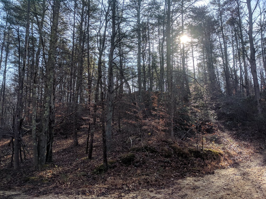 Photo: gabeclassonarchive2, CC BY 2.0 (via Flickr)
Fox Den Loop
~7 min drive
0.49-mile loop in Maryland with 72 ft elevation gain and loss.
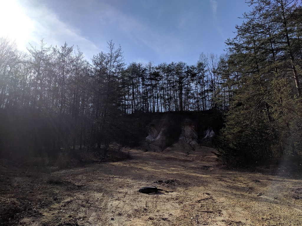 Photo: gabeclassonarchive2, CC BY 2.0 (via Flickr)
Heron Loop
~7 min drive
0.31-mile loop trail in Maryland with 29 ft of elevation gain.
Photo: krossbow, CC BY 2.0 (via Flickr)Pine Trail
~7 min drive
0.53-mile out-and-back hike in Maryland with 84 ft elevation gain.
Photo: gabeclassonarchive2, CC BY 2.0 (via Flickr)Duck Cove Pond Loop
~7 min drive
0.42-mile loop with 61 ft elevation gain in Maryland
Map and trail data © OpenStreetMap contributors
