Perimeter Trail
- 5.2 mi
- loop
- 233 ft
- climb
- 192 ft
- high point
- Loop
- route
- Apr–Jun, Sep–Nov
- best months
Is Perimeter Trail open right now?
No closures listed
The National Park Service lists no closures for Greenbelt Park.
As of · Source: NPS · Greenbelt Park. Agencies don't list every closure — check before you go.
Perimeter Trail is a 5.2-mile loop in Greenbelt Park, a National Park Service unit in Maryland. The trail is rated moderate, with a total elevation gain of 233 feet. It is a loop, so the climb is one way, and the steepest stretch comes at about 1.2 miles in, with a 10% grade. There is no fee to hike it. The trail sits within Greenbelt Park, which the National Park Service manages, and the closest town is Greenbelt. Spring and fall are the most comfortable times to go. Typical averages from a nearby weather station in Beltsville show May highs around 74°F and October highs around 68°F, while July averages about 87°F. The Blueberry Trail starts just 0.2 miles away, and the Greenbelt Park Picnic Areas are about 0.4 miles off. The Dogwood Trail and Metro Trail are both within a mile.
Best time to go · Apr–Jun, Sep–Nov
Best time to visit Perimeter Trail
Best months: April–June and September–November. Best months have typical highs of 55–85 °F, lows of 30 °F or warmer (32 °F where the station doesn't record snow), at most one snowy day and no more than 12 wet days.
Jan
43° / 25°
10 wet
Feb
45° / 27°
9 wet
Mar
53° / 34°
10 wet
Apr
65° / 44°
11 wet
May
74° / 54°
11 wet
Jun
83° / 63°
10 wet
Jul
87° / 68°
10 wet
Aug
86° / 66°
9 wet
Sep
79° / 59°
8 wet
Oct
68° / 47°
9 wet
Nov
57° / 37°
9 wet
Dec
47° / 30°
10 wet
Typical high / low (°F) and days with rain or snow, 1991–2020. Measured at Beltsville, MD, 4 mi away at 145 ft. This station doesn't record snowfall. Source: NOAA NCEI U.S. Climate Normals 1991–2020.
Keep exploring — more trails worth the drive
 Photo: Mr.TinMD, CC BY 2.0 (via Flickr)
Blueberry Trail
Next door
Easy out-and-back woodland trail through Maryland forest.
 Photo: krossbow, CC BY 2.0 (via Flickr)
Valley Trail
~12 min drive
0.48-mile point-to-point trail in Maryland with 56 ft of elevation gain.
HIKE
Adt - Maryland - Seg 2
~2 min drive
A challenging 41.67-mile point-to-point Maryland backcountry trail.
 Photo: Qscgy256, CC BY-SA 4.0 (via Wikimedia Commons)
Lake Artemesia Trail
~3 min drive
0.68-mile out-and-back trail at Lake Artemesia in Maryland with 59 ft of elevation gain.
HIKE
Copperhead Run Trail
~11 min drive
1.60-mile out-and-back trail in Maryland with 1,399 ft elevation gain
HIKE
Rachel Carson Greenway Trail
~8 min drive
A 10.71-mile point-to-point greenway trail through Maryland's natural corridors.
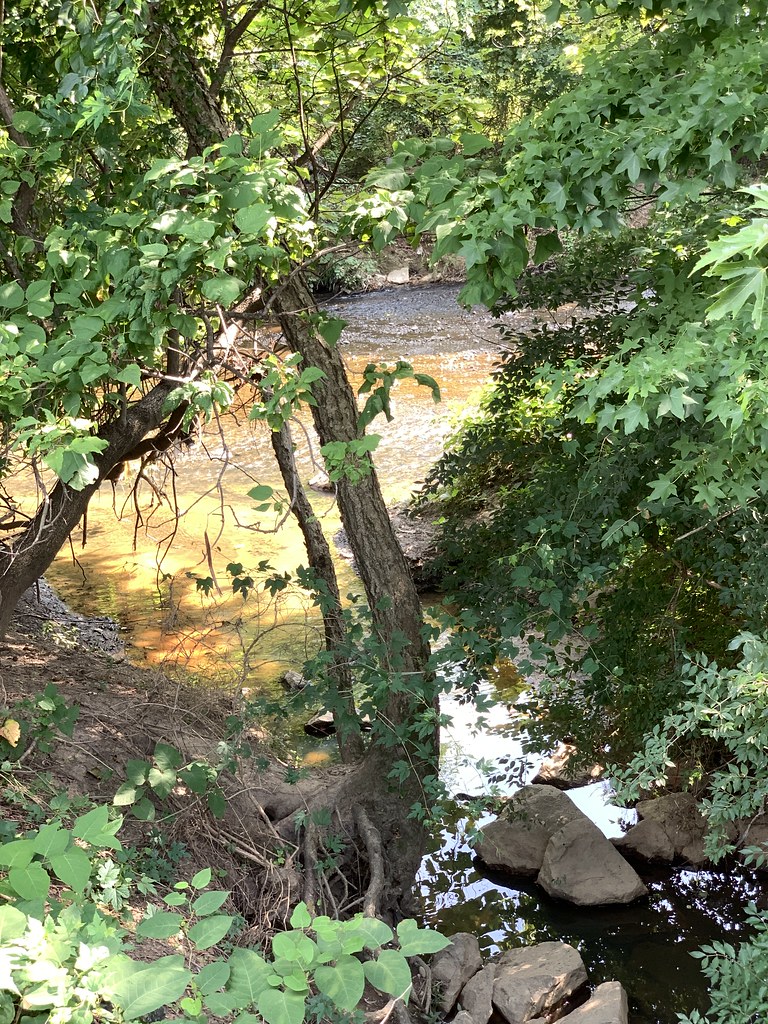 Photo: Mr.TinMD, CC BY 2.0 (via Flickr)
Prince Georges County Connector Trail
~8 min drive
0.39-mile point-to-point trail in Maryland with 54 ft gain.
HIKE
Washington, Baltimore & Annapolis Trail
~9 min drive
13-mile point-to-point rail-trail connecting Washington, Baltimore & Annapolis.
 Photo: Mr.TinMD, CC BY 2.0 (via Flickr)
Clifton Park River Trail
~9 min drive
0.63-mile out-and-back trail in Maryland with 197 ft of elevation gain.
 Photo: krossbow — CC BY 2.0 (via Flickr)
Cash Lake Trail
~11 min drive
1.5-mile loop trail in Maryland with 502 ft elevation gain.

Map and trail data © OpenStreetMap contributors
