Azalea Trail
- 0.7 mi
- round trip
- 170 ft
- climb
- 145 ft
- high point
- Out and back
- route
- Apr–Jun, Sep–Nov
- best months
Is Azalea Trail open right now?
No closures listed
The National Park Service lists no closures for Greenbelt Park.
As of · Source: NPS · Greenbelt Park. Agencies don't list every closure — check before you go.
Azalea Trail is a short, easy out-and-back hike in Greenbelt Park, a National Park Service unit in Maryland. The trail is about 0.65 miles long, and the round trip covers roughly 1.3 miles with a total elevation gain of 170 feet. The high point is about 145 feet, and the low point is about 92 feet, so the climb is gentle, with the steepest stretch at about 0.27 miles in. The trail is free to use, and the National Park Service manages the land. Spring and fall are the most comfortable times to go. Typical averages from a nearby weather station in Beltsville, Maryland, show May highs around 74°F and October highs around 68°F, while July averages about 87°F. Several other trails start close by. Dogwood Trail is about 0.3 miles away, and Blueberry Trail is about 0.9 miles away. Greenbelt Park Picnic Areas, about 0.7 miles off, offers a place to eat. For something different, Long Wall, a climbing area, is about 5.7 miles away.
- Adt - Maryland - Seg 2Hiking0.2 mi
- Dogwood TrailHiking0.3 mi
- Greenbelt Park Picnic AreasCamping0.7 mi
 Blueberry TrailHikingPhoto: Mr.TinMD, CC BY 2.0 (via Flickr)0.9 mi
- Long WallRock climbing5.7 mi
- Northwest BranchRock climbing6.2 mi
- South Bank - Dirty ErnieRock climbing6.2 mi
 Northwest Branch Anacostia RiverCanoeingPhoto: Paul from USA, CC BY-SA 2.0 (via Wikimedia Commons)8.9 mi
Source: Roamze catalog (indexable pages within 10 miles, PostGIS distance)
- Blueberry TrailHiking · ~2 min drivePhoto: Mr.TinMD, CC BY 2.0 (via Flickr)
 Valley TrailHiking · ~11 min drivePhoto: krossbow, CC BY 2.0 (via Flickr)
- Adt - Maryland - Seg 2Hiking · Next door
 Lake Artemesia TrailHiking · ~3 min drivePhoto: Qscgy256, CC BY-SA 4.0 (via Wikimedia Commons)
- Perimeter TrailHiking · ~2 min drive
- Rachel Carson Greenway TrailHiking · ~8 min drive
 Clifton Park River TrailHiking · ~9 min drivePhoto: Mr.TinMD, CC BY 2.0 (via Flickr)
- Copperhead Run TrailHiking · ~11 min drive
- Washington, Baltimore & Annapolis TrailHiking · ~9 min drive
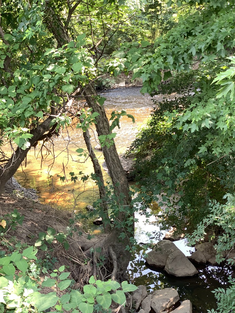 Prince Georges County Connector TrailHiking · ~9 min drivePhoto: Mr.TinMD, CC BY 2.0 (via Flickr)
Best time to visit Azalea Trail
Best months: April–June and September–November. Best months have typical highs of 55–85 °F, lows of 30 °F or warmer (32 °F where the station doesn't record snow), at most one snowy day and no more than 12 wet days.
Jan
43° / 25°
10 wet
Feb
45° / 27°
9 wet
Mar
53° / 34°
10 wet
Apr
65° / 44°
11 wet
May
74° / 54°
11 wet
Jun
83° / 63°
10 wet
Jul
87° / 68°
10 wet
Aug
86° / 66°
9 wet
Sep
79° / 59°
8 wet
Oct
68° / 47°
9 wet
Nov
57° / 37°
9 wet
Dec
47° / 30°
10 wet
Typical high / low (°F) and days with rain or snow, 1991–2020. Measured at Beltsville, MD, 3.2 mi away at 145 ft. This station doesn't record snowfall. Source: NOAA NCEI U.S. Climate Normals 1991–2020.

Map and trail data © OpenStreetMap contributors
