South Bank - Dirty Ernie
- 15 routes
- V0+ – V11
- Bouldering
- Apr–Jun, Sep–Nov
- best months
South Bank - Dirty Ernie is a bouldering area in Maryland, about 0.3 miles from the community of Burnt Mills. It sits among a cluster of climbing and hiking spots, with the North Bank - Hobo Cave Area and Fin Boulder aka Trailside both about 0.1 mile away. The name Dirty Ernie points to the bouldering here, and the routes run from V0+ up to V11, with the hardest, Ernie's Toe, at V11. The climbing is all bouldering, and the grade range spans from the easiest V0+ to V11. Among the named routes are Ernies Jam at V0+, Dirty Ernie's Direct at V8, and Dirty Ernie's Revenge at V9-10, which was first climbed by Gabor Szekely. Ernie's Toe, at V11, was first climbed by Evan Trombley. Spring and fall are the most comfortable times to visit. Typical averages from the nearby Beltsville weather station show May highs around 74°F and October highs around 68°F, while July averages reach 87°F. The Copperhead Run Trail and the Northwest Branch Trail are both about 0.1 mile away. Paddlers can head to the Northwest Branch Anacostia River, about 3.6 miles off, and the Greenbelt Park Picnic Areas are about 6.7 miles away.
Best time to go · Apr–Jun, Sep–Nov
Best time to visit South Bank - Dirty Ernie
Best months: April–June and September–November. Best months have typical highs of 55–85 °F, lows of 30 °F or warmer (32 °F where the station doesn't record snow), at most one snowy day and no more than 12 wet days.
Jan
43° / 25°
10 wet
Feb
45° / 27°
9 wet
Mar
53° / 34°
10 wet
Apr
65° / 44°
11 wet
May
74° / 54°
11 wet
Jun
83° / 63°
10 wet
Jul
87° / 68°
10 wet
Aug
86° / 66°
9 wet
Sep
79° / 59°
8 wet
Oct
68° / 47°
9 wet
Nov
57° / 37°
9 wet
Dec
47° / 30°
10 wet
Typical high / low (°F) and days with rain or snow, 1991–2020. Measured at Beltsville, MD, 3.8 mi away at 145 ft. This station doesn't record snowfall. Source: NOAA NCEI U.S. Climate Normals 1991–2020.
Routes (15)
Keep exploring — more climbs worth the drive
 Photo: Jstuby, CC0 (via Wikimedia Commons)
Murray Hill Road Boulders
~21 min drive
6 bouldering routes in Maryland spanning 5 grades.
Photo: Jstuby, CC0 (via Wikimedia Commons)North side of river
~21 min drive
6 bouldering routes on 5 difficulty grades at North side of river in Maryland.
 Photo: Famartin, CC BY-SA 4.0 (via Wikimedia Commons)
Cow's Hoof
~23 min drive
Cow's Hoof in Virginia has 10 traditional climbing routes across 6 grades.
CLIMB
Fin Boulder aka Trailside
Next door
Fin Boulder (aka Trailside) in Maryland has 7 bouldering routes.
CLIMB
North Bank - Chaos Roof Area AKA Snowflake Boulder
Next door
North Bank - Chaos Roof Area AKA Snowflake Boulder is a bouldering area in Maryland with 12 routes.
CLIMB
South Bank - Tick Area
Next door
South Bank - Tick Area is a climbing crag in Maryland with 6 routes.
CLIMB
Northwest Branch
Next door
Northwest Branch in Maryland has 17 climbing routes with bouldering pads and trad.
CLIMB
North Bank - Suspended Boulder
Next door
6 bouldering routes at North Bank - Suspended Boulder in Maryland.
CLIMB
North Bank - Anklebiter Boulder
Next door
7 routes, 6 difficulty grades, bouldering pads at North Bank - Anklebiter Boulder in Maryland.
CLIMB
South Bank - Pipeline Area
Next door
South Bank - Pipeline Area in Maryland has 22 climbing routes with 16 difficulty grades.
Also worth it near here
 Photo: G. Edward Johnson, CC BY 3.0 (via Wikimedia Commons)
Northwest Branch Trail
Next door
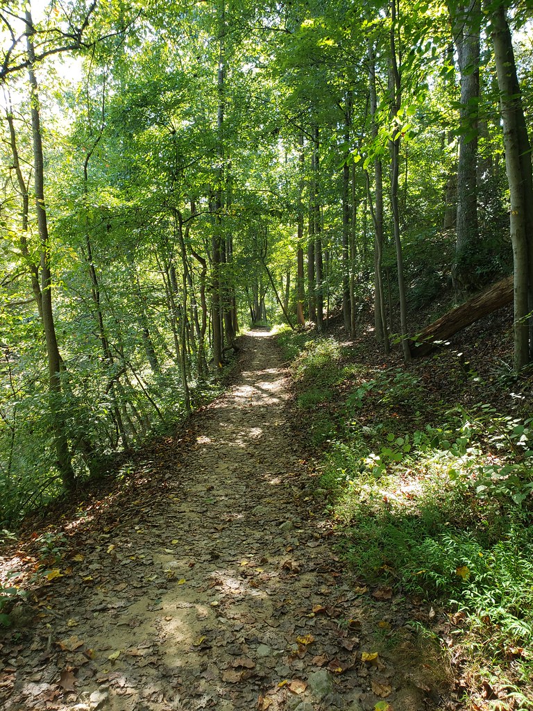 Photo: inkdroid, CC BY 2.0 (via Flickr)
Northwood-Chesapeake Bay Trail
~1 min drive
BED
Cherry Hill Park
~5 min drive
 Photo: Paul from USA, CC BY-SA 2.0 (via Wikimedia Commons)
Northwest Branch Anacostia River
~6 min drive
