South Loop Trail
- 1.1 mi
- loop
- 22 ft
- climb
- 62 ft
- high point
- Loop
- route
- Jun–Oct
- best months
South Loop Trail is a short, easy hike of about a mile, with a low elevation gain of 22 feet, in the Marshall Island Phase II area of Maine. It is managed by a non-governmental organization, and the West Shore Loop Trail starts just 0.1 mile away, making it simple to combine with another walk. The route rises gently, reaching a high point of 62 feet and a low of 15 feet. The steepest stretch, about 8 percent, comes at roughly 0.34 miles into the trail. Summer is the most comfortable time to go. July and August typically reach highs in the upper 70s with lows near 60, according to typical averages from a nearby weather station. Winter is cold, with January highs around 33°F. The East Loop Loop Trail is about 1.4 miles away. Long Pond Trail and Duck Harbor Campground are both within roughly 9 miles.
Local outfitters
- Atlantic Climbing School25 mi away
Not on Roamze yet. Their page has how to reach them.
- West Shore Loop TrailHiking0.1 mi
- East Loop Loop TrailHiking1.4 mi
- Long Pond TrailHiking7.2 mi
- Bowditch TrailHiking7.5 mi
- Duck Harbor TrailHiking7.5 mi
- Nat Merchant TrailHiking7.7 mi
- Thunder Gulch TrailHiking8.4 mi
 Duck Harbor CampgroundCampingPhoto: Recreation.gov (RIDB) / public domain9.1 mi
Source: Roamze catalog (indexable pages within 10 miles, PostGIS distance)
 Ship HarborHiking · ~22 min drivePhoto: Andrew Turner, CC BY 2.0 (via Flickr)
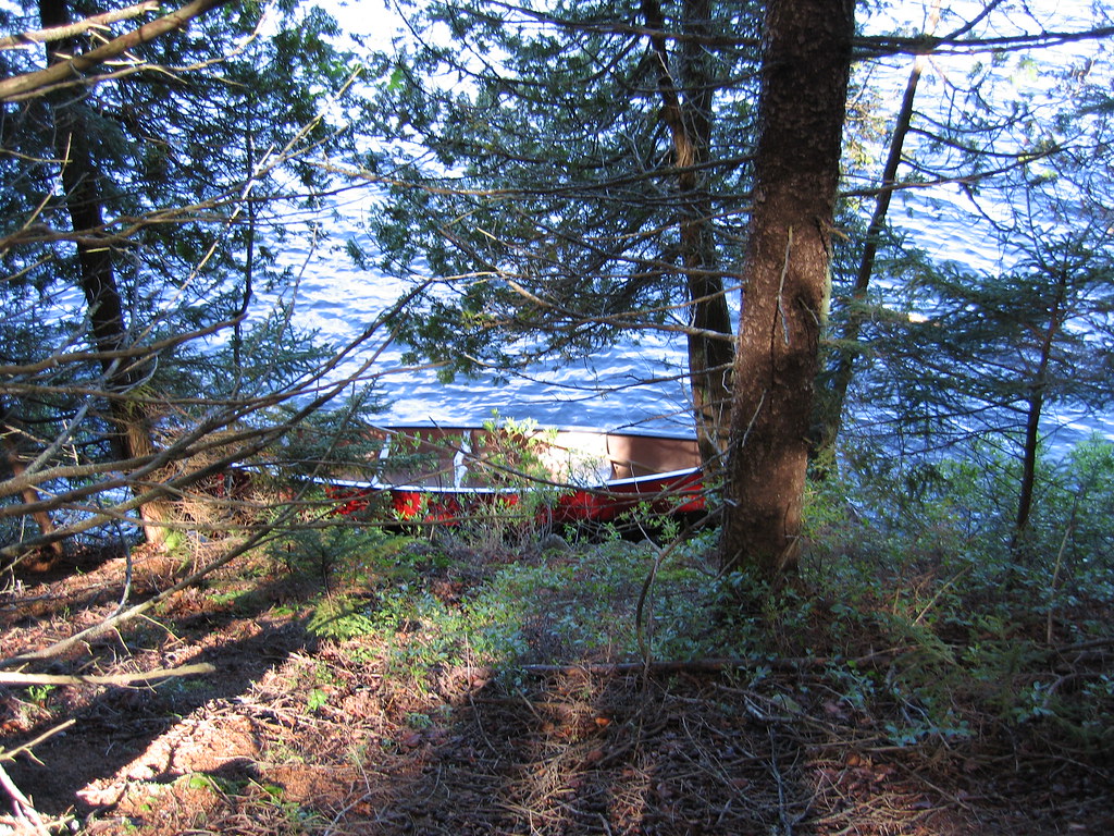 West Ledge TrailHiking · ~24 min drivePhoto: Sam Felder, CC BY-SA 2.0 (via Flickr)
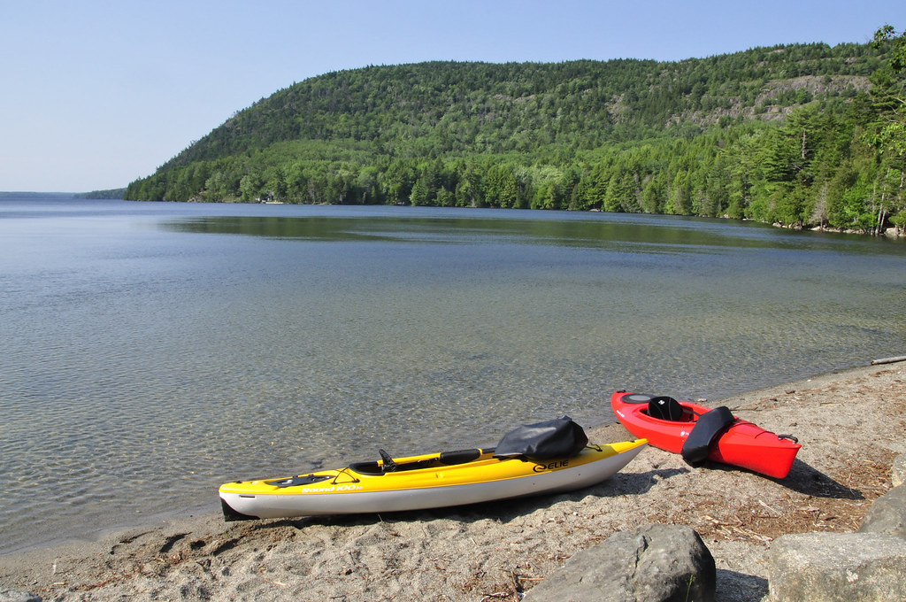 Mansell Mountain TrailHiking · ~26 min drivePhoto: samenstelling, CC BY 2.0 (via Flickr)
 WonderlandHiking · ~22 min drivePhoto: Christian Collins, CC BY-SA 2.0 (via Flickr)
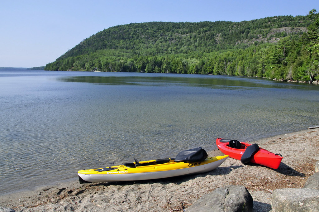 Razorback TrailHiking · ~26 min drivePhoto: samenstelling, CC BY 2.0 (via Flickr)
- Long Pond TrailHiking · ~12 min drive
- Western Mountain ConnectorHiking · ~26 min drivePhoto: samenstelling, CC BY 2.0 (via Flickr)
 Bernard Mountain TrailHiking · ~26 min drivePhoto: CarbonNYC [in SF!], CC BY 2.0 (via Flickr)
- Duck Harbor TrailHiking · ~13 min drive
- Great Notch TrailHiking · ~26 min drivePhoto: samenstelling, CC BY 2.0 (via Flickr)
Best time to visit South Loop Trail
Best months: June–October. Best months have typical highs of 55–85 °F, lows of 30 °F or warmer (32 °F where the station doesn't record snow), at most one snowy day and no more than 12 wet days.
Jan
33° / 15°
12 wet
Feb
35° / 18°
10 wet
Mar
42° / 25°
12 wet
Apr
53° / 35°
12 wet
May
65° / 45°
13 wet
Jun
74° / 54°
12 wet
Jul
79° / 60°
11 wet
Aug
78° / 60°
10 wet
Sep
71° / 53°
11 wet
Oct
58° / 43°
12 wet
Nov
48° / 33°
12 wet
Dec
38° / 22°
13 wet
Typical high / low (°F) and days with rain or snow, 1991–2020. Measured at Acadia Np, ME, 22.2 mi away at 470 ft. This station doesn't record snowfall. Source: NOAA NCEI U.S. Climate Normals 1991–2020.
Map and trail data © OpenStreetMap contributors
