Wonderland
 Photo: Christian Collins, CC BY-SA 2.0 (via Flickr)
- 0.7 mi
- one way
- 40 ft
- climb
- 58 ft
- high point
- Point to point
- route
- Jun–Oct
- best months
Wonderland is a short, easy hike in Acadia National Park in Maine, a National Park Service unit. The route is 0.74 miles long and is a point-to-point walk, not a loop, with a total elevation gain of 40 feet. The climb is front-loaded, and the steepest stretch comes about a third of the way along. The route starts at an elevation of 16 feet and reaches a high point of 58 feet, with the total descent slightly greater than the climb. It is a low-effort outing, and the estimated time to complete it is about half an hour. Summer is the most comfortable time to go. Typical July averages from a nearby weather station run around 79°F for highs and 60°F for lows, though the station sits about 410 feet below the trail, so temperatures on the walk run a bit cooler. A fee is charged. Bikes and horses are not allowed. The closest neighbor is Ship Harbor, about 0.4 miles away. Valley Cove Trail and Great Notch Trail lie a little over 5 miles off, and Canada Cliff Boulder offers climbing at about 5.7 miles.
Local outfitters
- Atlantic Climbing School12 mi away
Not on Roamze yet. Their page has how to reach them.
Best time to go · Jun–Oct
Best time to visit Wonderland
Best months: June–October. Best months have typical highs of 55–85 °F, lows of 30 °F or warmer (32 °F where the station doesn't record snow), at most one snowy day and no more than 12 wet days.
Jan
33° / 15°
12 wet
Feb
35° / 18°
10 wet
Mar
42° / 25°
12 wet
Apr
53° / 35°
12 wet
May
65° / 45°
13 wet
Jun
74° / 54°
12 wet
Jul
79° / 60°
11 wet
Aug
78° / 60°
10 wet
Sep
71° / 53°
11 wet
Oct
58° / 43°
12 wet
Nov
48° / 33°
12 wet
Dec
38° / 22°
13 wet
Typical high / low (°F) and days with rain or snow, 1991–2020. Measured at Acadia Np, ME, 10.3 mi away at 470 ft. This station doesn't record snowfall. Source: NOAA NCEI U.S. Climate Normals 1991–2020.
Keep exploring — more trails worth the drive
 Photo: Andrew Turner, CC BY 2.0 (via Flickr)
Ship Harbor
Next door
An easy 1.22-mile point-to-point trail in Maine that connects to the Wonderland Trail system.
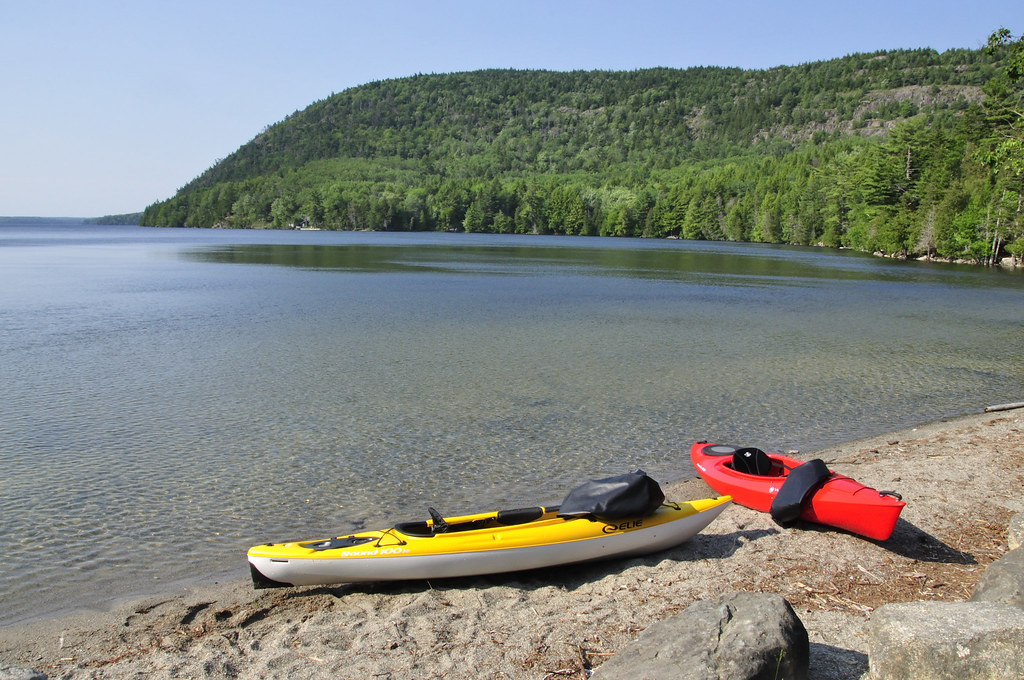 Photo: samenstelling, CC BY 2.0 (via Flickr)
Mansell Mountain Trail
~9 min drive
Short out-and-back summit hike with scenic Maine mountain views.
 Photo: jesse?, CC BY 2.0 (via Flickr)
Eliot Mountain Trail
~9 min drive
0.95-mile out-and-back hike in Maine with 184 ft elevation gain
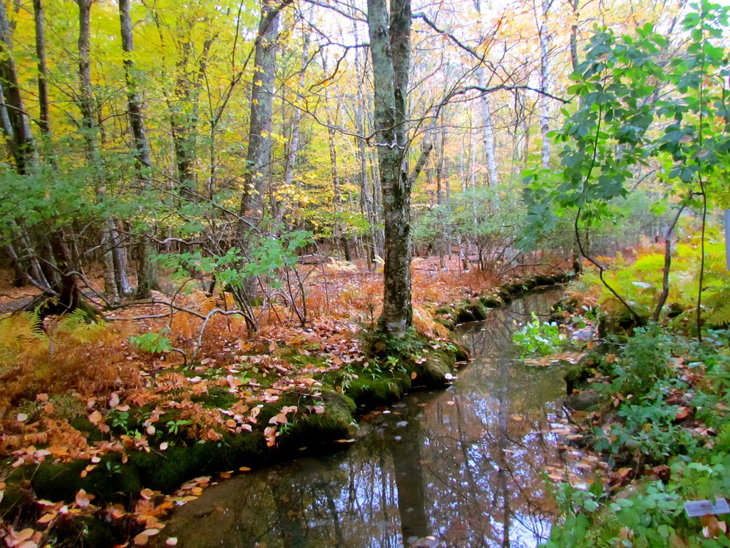 Photo: jeffgunn, CC BY 2.0 (via Flickr)
Valley Cove Trail
~8 min drive
1.04-mile out-and-back trail in Maine with 171 ft elevation gain
 Photo: aparlette, CC BY 2.0 (via Flickr)
Amphitheatre Trail
~11 min drive
1.47-mile out-and-back hike in Maine with 867 ft gain.
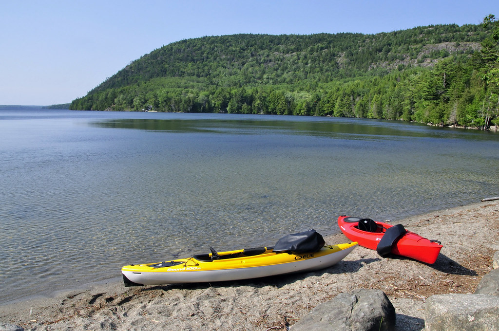 Photo: samenstelling, CC BY 2.0 (via Flickr)
Razorback Trail
~9 min drive
Easy 1-mile out-and-back Maine trail for casual hikers.
Photo: samenstelling, CC BY 2.0 (via Flickr)Great Notch Trail
~9 min drive
2.56-mile point-to-point trail in Maine with 759 ft elevation gain.
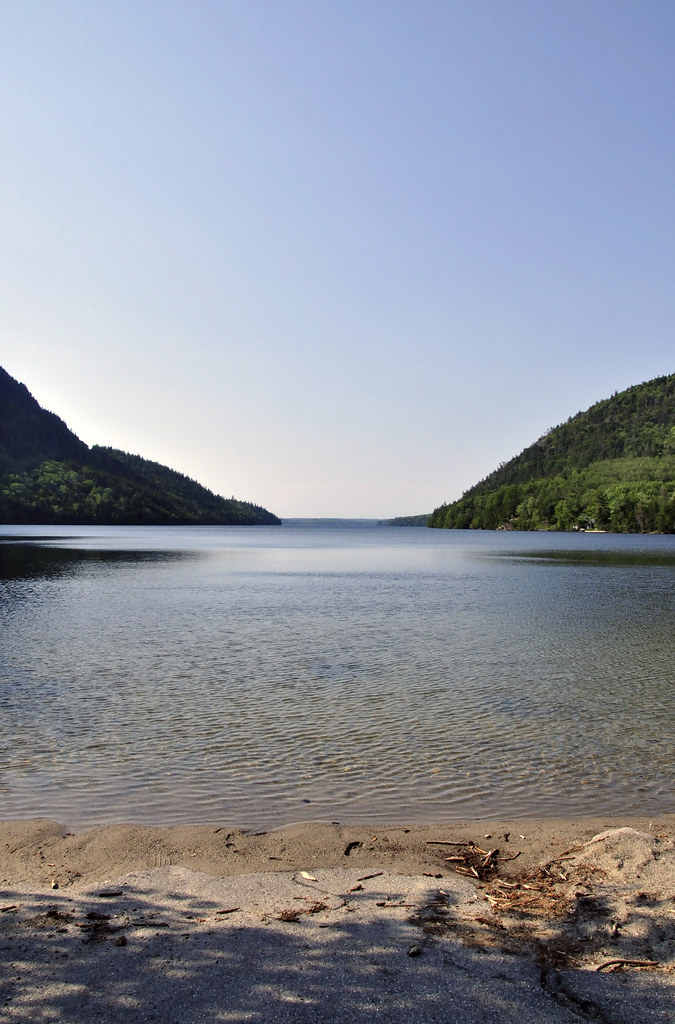 Photo: samenstelling, CC BY 2.0 (via Flickr)
Great Pond Trail
~9 min drive
2.67-mile out-and-back trail in Maine with 1,365 ft elevation gain
Photo: samenstelling, CC BY 2.0 (via Flickr)Western Mountain Connector
~9 min drive
1.54-mile out-and-back trail in Maine with 269 ft elevation gain
 Photo: Jacques Larue, CC BY-SA 3.0 (via Wikimedia Commons)
Golf Course Trail
~10 min drive
0.45-mile out-and-back trail in Maine with 389 ft elevation gain.

Map and trail data © OpenStreetMap contributors
