South Branch Falls Trail
- 0.5 mi
- round trip
- 375 ft
- climb
- 1,086 ft
- high point
- Out and back
- route
- May–Sep
- best months
South Branch Falls Trail is a short, easy hike in Baxter State Park in Maine, managed by State Park and Recreation. The trail is about 0.45 miles long and is an out-and-back route, with a total round-trip elevation gain of about 375 feet. The high point is roughly 1,086 feet, and the low point is about 887 feet. The steepest stretch comes at about 0.37 miles in, with a grade of about 10 percent. Summer is the most comfortable time to go. Typical July averages from a nearby weather station run around 76°F for highs and 55°F for lows, and the station sits a few hundred feet lower than the trail, so temperatures on the trail run a little cooler. The hike takes about half an hour. Ledges Trail is about 0.7 miles away, and South Branch Pond, a cross-country ski area, is about 0.8 miles off. South Branch Campground Remote Site is about 0.9 miles away, and Trout Brook, a canoeing spot, is about 1.5 miles away.
- Ledges TrailHiking0.7 mi
- South Branch PondCross-country skiing0.8 mi
- South Branch Campground Remote SiteHiking0.9 mi
- Park Tote RoadCross-country skiing1.2 mi
- Forestry Interpretive TrailHiking1.3 mi
- Trout BrookCanoeing1.5 mi
- Howe Brook TrailHiking1.7 mi
- Canoe PortageCross-country skiing1.9 mi
Source: Roamze catalog (indexable pages within 10 miles, PostGIS distance)
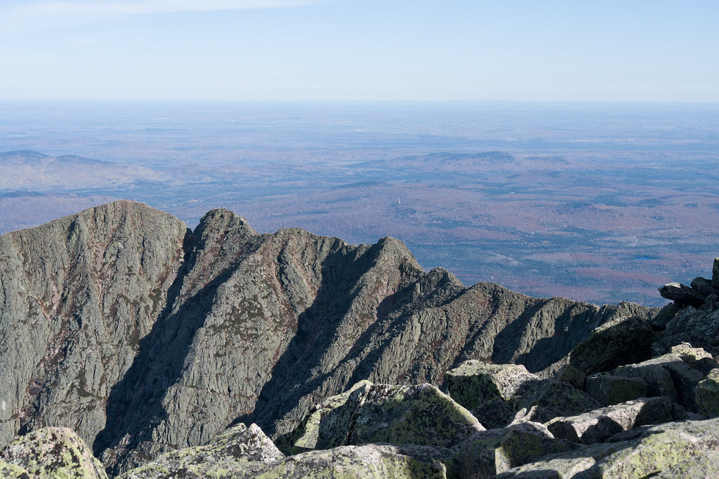 North Basin Cut-OffHiking · ~23 min drivePhoto: Pat Spinney, CC BY 2.0 (via Flickr)
- North Peaks TrailHiking · ~23 min drivePhoto: Pat Spinney, CC BY 2.0 (via Flickr)
- Fowler Brook TrailHiking · ~4 min drive
- Ledges TrailHiking · ~1 min drive
- Traverler Mountain TrailHiking · ~4 min drive
- South Branch Mountain TrailHiking · ~4 min drive
- South Branch Campground Remote SiteHiking · ~2 min drive
- Middle Fowler Pond TrailHiking · ~4 min drive
- Trout Brook Mountain TrailHiking · ~7 min drive
- Forestry Interpretive TrailHiking · ~2 min drive
Best time to visit South Branch Falls Trail
Best months: May–September. Best months have typical highs of 55–85 °F, lows of 30 °F or warmer (32 °F where the station doesn't record snow), at most one snowy day and no more than 12 wet days.
Jan
22° / 3°
Feb
25° / 6°
Mar
34° / 16°
Apr
48° / 29°
May
62° / 40°
Jun
72° / 49°
Jul
76° / 55°
Aug
75° / 54°
Sep
67° / 45°
Oct
53° / 35°
Nov
41° / 25°
Dec
29° / 13°
Typical high / low (°F) and days with rain or snow, 1991–2020. Measured at Patten 2, ME, 20.7 mi away at 820 ft. This station doesn't record snowfall. Source: NOAA NCEI U.S. Climate Normals 1991–2020.
Map and trail data © OpenStreetMap contributors
