South Branch Pond Campground
- May–Sep
- best months
- At 1,016 ft
- Baxter State Park
South Branch Pond Campground is a campground in Maine at about 1,016 feet. It is managed by the state park agency.
- South Branch PondCross-country skiing0.1 mi
- South Branch Campground Remote SiteHiking0.2 mi
- Black Cat MountainSummit1.5 mi
- Trout BrookCanoeing2.2 mi
- Wadleigh MountainSummit3.2 mi
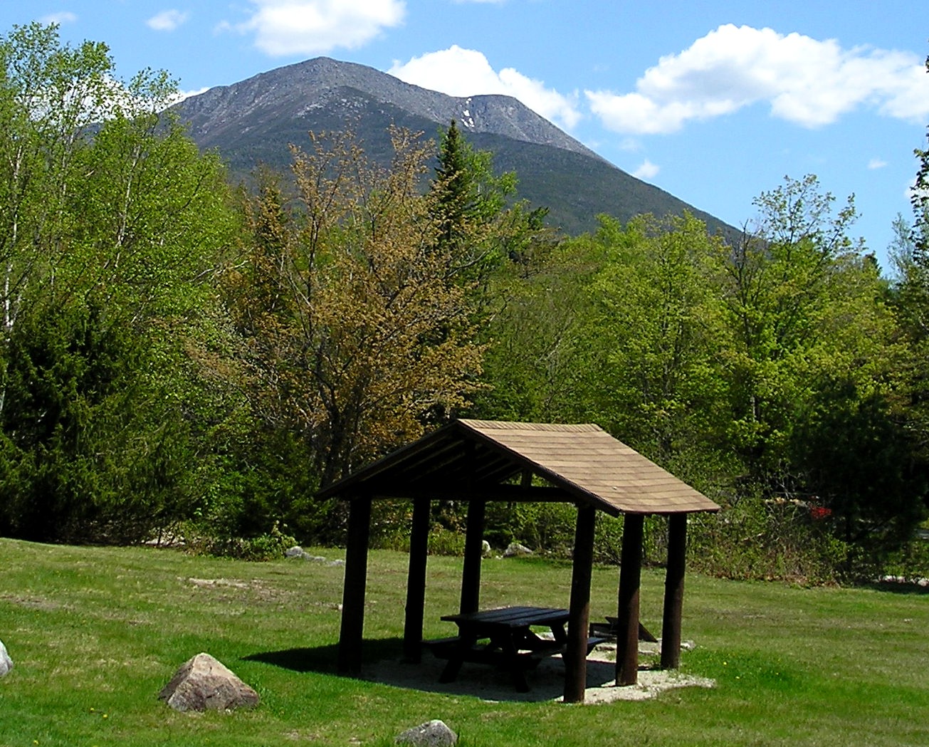 Baxter State ParkState parkPhoto: TJ aka Teej at English Wikipedia, Public domain (via Wikimedia Commons)5.8 mi
- Stair FallsWaterfall6.1 mi
- Grand FallsWaterfall7.1 mi
Source: Roamze catalog (indexable pages within 10 miles, PostGIS distance)
- Lower Fowler Outlet TentsiteCamping · ~4 min drive
- Lower Fowler Pond TentsiteCamping · ~4 min drive
- Middle Fowler North TentsiteCamping · ~5 min drive
- Middle Fowler South TentsiteCamping · ~5 min drive
- Long Pond Outlet TentsiteCamping · ~6 min drive
- K.P. Dam TentsiteCamping · ~6 min drive
- Long Pond Pines TentsiteCamping · ~6 min drive
- Billfish Pond TentsiteCamping · ~7 min drive
- Katahdin Woods & Waters National Monument CampingCamping · ~8 min drive
- Matagamon WildernessCamping · ~9 min drive
Best time to visit South Branch Pond Campground
Best months: May–September. Best months have typical highs of 55–85 °F, lows of 30 °F or warmer (32 °F where the station doesn't record snow), at most one snowy day and no more than 12 wet days.
Jan
22° / 3°
Feb
25° / 6°
Mar
34° / 16°
Apr
48° / 29°
May
62° / 40°
Jun
72° / 49°
Jul
76° / 55°
Aug
75° / 54°
Sep
67° / 45°
Oct
53° / 35°
Nov
41° / 25°
Dec
29° / 13°
Typical high / low (°F) and days with rain or snow, 1991–2020. Measured at Patten 2, ME, 20.2 mi away at 820 ft. This station doesn't record snowfall. Source: NOAA NCEI U.S. Climate Normals 1991–2020.
Map and trail data © OpenStreetMap contributors
