Trout Brook Mountain Trail
- 2.1 mi
- round trip
- 2,008 ft
- climb
- 1,776 ft
- high point
- Out and back
- route
- May–Sep
- best months
Trout Brook Mountain Trail is a moderate out-and-back hike in Baxter State Park in Maine, managed by State Park and Recreation. The trail is about 4.3 miles long, with a total elevation gain of 2,008 feet, and it reaches a high point of 1,776 feet. The route starts at about 761 feet and ends at the same elevation, so the climb is roughly 1,000 feet one way. The trail is rolling, and the steepest stretch comes at about 0.59 miles in, where the grade reaches 27%. Summer is the most comfortable time to go. Typical July averages from a nearby weather station run to a high of 76°F and a low of 55°F, and the station sits well below the trail, so temperatures on the mountain run cooler. The hike takes about 2.5 hours. The Five Ponds Trail and Trout Brook Farm Campground Road both lie about 0.1 mile away, and the Lower Fowler Pond Trail is about 1.6 miles off. Paddlers can reach Trout Brook, about 4.8 miles away.
Best time to go · May–Sep
Best time to visit Trout Brook Mountain Trail
Best months: May–September. Best months have typical highs of 55–85 °F, lows of 30 °F or warmer (32 °F where the station doesn't record snow), at most one snowy day and no more than 12 wet days.
Jan
22° / 3°
Feb
25° / 6°
Mar
34° / 16°
Apr
48° / 29°
May
62° / 40°
Jun
72° / 49°
Jul
76° / 55°
Aug
75° / 54°
Sep
67° / 45°
Oct
53° / 35°
Nov
41° / 25°
Dec
29° / 13°
Typical high / low (°F) and days with rain or snow, 1991–2020. Measured at Patten 2, ME, 19.4 mi away at 820 ft. The station sits about 1,000 ft lower than this place, so expect it a little cooler here. This station doesn't record snowfall. Source: NOAA NCEI U.S. Climate Normals 1991–2020.
Keep exploring — more trails worth the drive
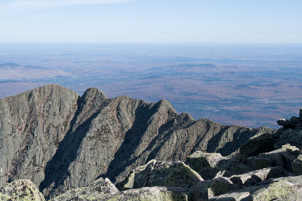 Photo: Pat Spinney, CC BY 2.0 (via Flickr)
North Basin Cut-Off
~29 min drive
North Basin Cut-Off is a 0.61-mile point-to-point trail in Maine with 26 feet of elevation gain.
HIKE
Horse Mountain Trail
~3 min drive
Out-and-back summit hike with forest views in central Maine.
HIKE
Middle Fowler Pond Trail
~6 min drive
4.71-mile out-and-back hike in Maine with 627 ft elevation gain.
HIKE
International Appalachian Trail New-Brunswick
~28 min drive
Remote 327-mile point-to-point Maine wilderness trek through Appalachian terrain.
HIKE
Lower Fowler Pond Trail
~3 min drive
0.85-mile point-to-point trail in Maine with 267 ft elevation gain.
HIKE
Fowler Brook Trail
~4 min drive
1.23-mile out-and-back trail in Maine with 169 ft gain and 324 ft loss.
HIKE
Traverler Mountain Trail
~9 min drive
8.00-mile point-to-point trail in Maine with 3,349 ft gain and 3,625 ft loss.
HIKE
First Lake Campsite
~4 min drive
0.58-mile out-and-back trail to First Lake Campsite in Maine state park.
HIKE
Freezeout Trail
~5 min drive
Challenging 14.35-mile point-to-point backcountry trek in Maine.
HIKE
Burnt Mountain Trail
~17 min drive
1.28-mile out-and-back trail in Maine with 106 ft gain and 727 ft loss.
Route details
- Distance
- 2.1 mi round trip
- Climbing
- About 2,008 ft
- Summit
- 1,779 ft
- Difficulty
- Moderate
- Time
- About 1.5 hours
Questions about this route
How long is the Trout Brook Mountain Trail on Trout Brook Mountain?
About 2.1 mi round trip.
How much elevation gain is on the Trout Brook Mountain Trail?
About 2,008 ft of climbing round trip.
How hard is the Trout Brook Mountain Trail?
It is rated moderate.
How long does the Trout Brook Mountain Trail take?
About 1.5 hours round trip.
Conditions and forecast on Trout Brook Mountain
Daily highs and lows, wind and the chance of precipitation at the summit and route start for the next 7 days, from the Open-Meteo model.
Map and trail data © OpenStreetMap contributors
