Traverler Mountain Trail
- 8.0 mi
- one way
- 3,574 ft
- climb
- 3,531 ft
- high point
- Point to point
- route
Traverler Mountain Trail is an 8-mile point-to-point hike in Baxter State Park in Maine, managed by State Park and Recreation. It is a hard route, with a total elevation gain of 3,574 feet and a total loss of 3,625 feet over the course of the trip. The climb is front-loaded, with the steepest stretch at about 0.35 miles from the start, where the grade reaches 47 percent. The trail begins at an elevation of about 1,153 feet and peaks at 3,531 feet. Bikes and horses are not allowed on this trail. The route starts close to several other destinations. Canoe Portage, a cross-country ski route, is about 0.3 miles away, and Howe Brook Trail and South Branch Mountain Trail are each about half a mile off. South Branch Campground Remote Site is about 1.2 miles away.
Keep exploring — more trails worth the drive
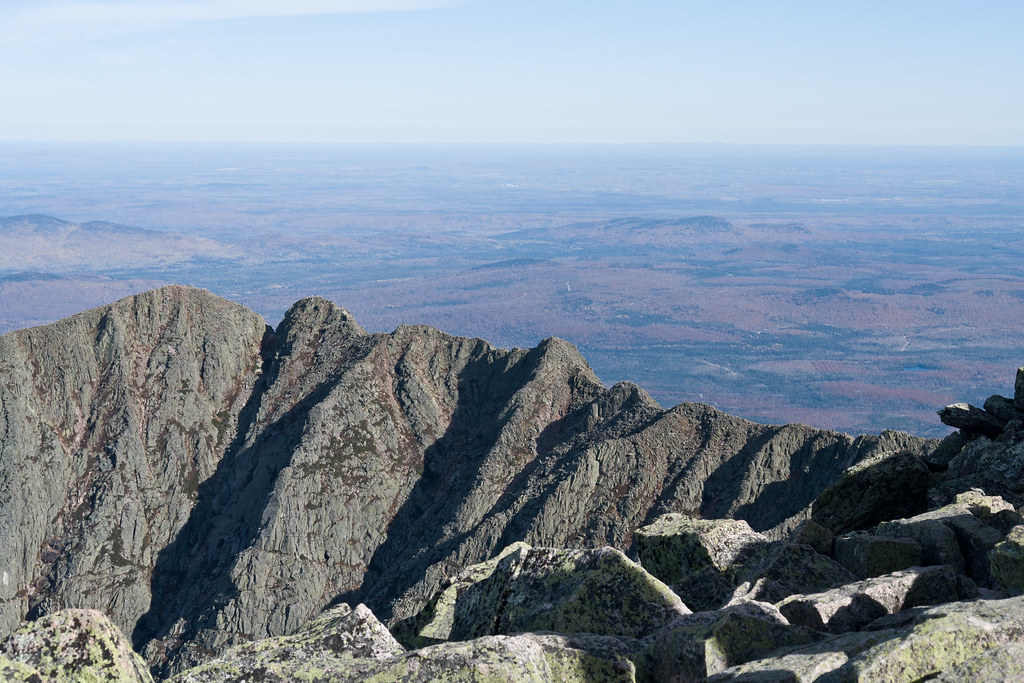 Photo: Pat Spinney, CC BY 2.0 (via Flickr)
North Basin Cut-Off
~20 min drive
North Basin Cut-Off is a 0.61-mile point-to-point trail in Maine with 26 feet of elevation gain.
Photo: Pat Spinney, CC BY 2.0 (via Flickr)North Peaks Trail
~20 min drive
5.16-mile point-to-point trail in Maine with 243 ft gain and 3,332 ft loss
 Photo: davidwilson1949, CC BY 2.0 (via Flickr)
North Basin Trail
~20 min drive
0.79-mile point-to-point trail in Maine with 260 ft gain.
HIKE
Howe Brook Trail
Next door
1.92-mile out-and-back trail in Maine with 860 ft gain.
HIKE
Middle Fowler Pond Trail
~4 min drive
4.71-mile out-and-back hike in Maine with 627 ft elevation gain.
HIKE
South Branch Mountain Trail
Next door
4.17-mile point-to-point trail in Maine with 1,970 ft elevation gain
HIKE
South Branch Campground Remote Site
~2 min drive
0.44-mile out-and-back trail to South Branch Campground Remote Site in Maine.
HIKE
Valley View Trail
~11 min drive
5.30-mile out-and-back trail in Maine with 1,432 ft elevation loss.
HIKE
Fowler Brook Trail
~6 min drive
1.23-mile out-and-back trail in Maine with 169 ft gain and 324 ft loss.
HIKE
Ledges Trail
~2 min drive
0.65-mile out-and-back trail in Maine with 204 ft gain.
Route details
- Distance
- 8.0 mi
- Climbing
- About 3,574 ft
- Summit
- 3,148 ft
- Difficulty
- Hard
- Time
- About 4.5 hours
Questions about this route
How long is the Traverler Mountain Trail on North Traveler Mountain?
About 8.0 mi.
How much elevation gain is on the Traverler Mountain Trail?
About 3,574 ft of climbing round trip.
How hard is the Traverler Mountain Trail?
It is rated hard.
How long does the Traverler Mountain Trail take?
About 4.5 hours round trip.
Conditions and forecast on North Traveler Mountain
Daily highs and lows, wind and the chance of precipitation at the summit and route start for the next 7 days, from the Open-Meteo model.
Map and trail data © OpenStreetMap contributors
