Sentier Les Fantômes
- 1.5 mi
- one way
- 333 ft
- climb
- 2,708 ft
- high point
- Point to point
- route
Sentier Les Fantômes is an easy hike in northern Maine, about 1.45 miles long. The trail is a point-to-point route with a total elevation gain of 333 feet, rising from a starting point around 2,697 feet to a high point of 2,708 feet. The steepest stretch comes at about 0.97 miles, where the grade reaches 18 percent, but the climb stays moderate overall. The nearest town is Lac Frontiere, about 17 miles away. The trail is part of a network of short hikes in the area, and the closest neighbor is Sentier Le Serpentin, just 0.4 miles away. For a longer outing, Sentier Les Eskers and Sentier Des Orignaux both lie about 3.6 miles off, and the ski touring area of Ascension is about 5.5 miles away.
- Sentier Le SerpentinHiking0.4 mi
- Sentier Les EskersHiking3.6 mi
- Sentier Des OrignauxHiking3.6 mi
- Sentier Des Portes-De-L'enferHiking4 mi
- Sentier De La Crête Des GrivesHiking4.7 mi
 Sentier De La TraverséeHikingPhoto: sambouchard418, CC BY-SA 2.0 (via Flickr)5.4 mi
- AscensionSki touring5.5 mi
- Ski de montagneSki touring5.8 mi
Source: Roamze catalog (indexable pages within 10 miles, PostGIS distance)
- Sentier De La TraverséeHiking · ~9 min drivePhoto: sambouchard418, CC BY-SA 2.0 (via Flickr)
 Sentier Des RavagesHiking · ~10 min drivePhoto: Pierre-Arnaud KOPP from REIGNIER, France, CC BY 2.0 (via Wikimedia Commons)
- Sentier Des PasserellesHiking · ~11 min drivePhoto: sambouchard418, CC BY-SA 2.0 (via Flickr)
- Sentier Des OrignauxHiking · ~6 min drive
- Sentier Du Mont-ChocolatHiking · ~12 min drivePhoto: Pierre-Arnaud KOPP from REIGNIER, France, CC BY 2.0 (via Wikimedia Commons)
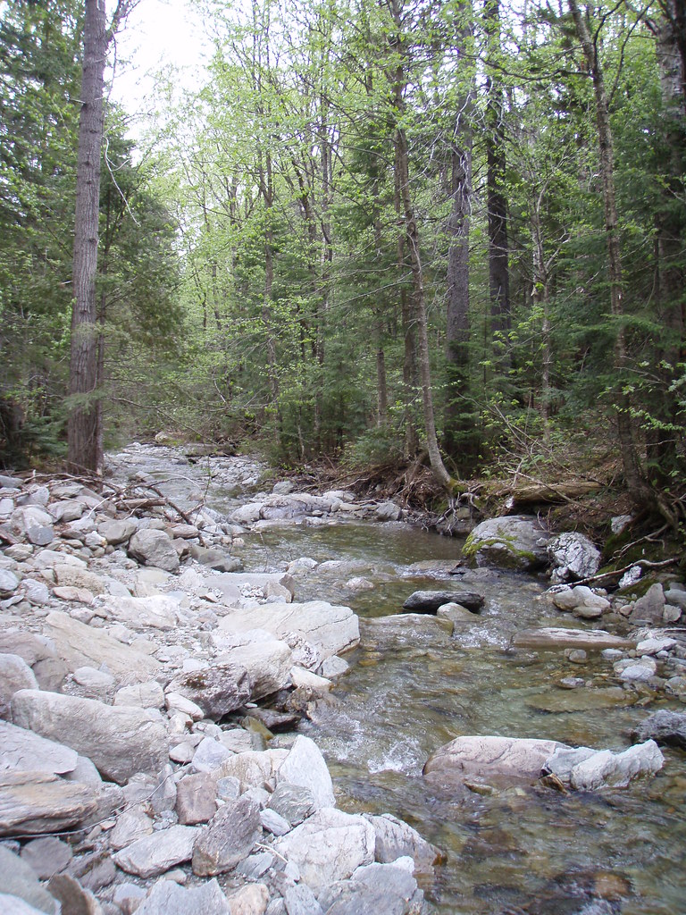 Sentier Des ParoisHiking · ~12 min drivePhoto: sambouchard418, CC BY-SA 2.0 (via Flickr)
 Sentier Des GéantsHiking · ~13 min drivePhoto: Pierre-Arnaud KOPP from REIGNIER, France, CC BY 2.0 (via Wikimedia Commons)
- Sentier De La SlousseHiking · ~13 min drivePhoto: Pierre-Arnaud KOPP from REIGNIER, France, CC BY 2.0 (via Wikimedia Commons)
- Sentier Des DryadesHiking · ~13 min drivePhoto: Pierre-Arnaud KOPP from REIGNIER, France, CC BY 2.0 (via Wikimedia Commons)
- Sentier Des SourcesHiking · ~13 min drivePhoto: Pierre-Arnaud KOPP from REIGNIER, France, CC BY 2.0 (via Wikimedia Commons)

Map and trail data © OpenStreetMap contributors
