Sentier De La Crête Des Grives
- 1.8 mi
- one way
- 590 ft
- climb
- 2,694 ft
- high point
- Point to point
- route
Sentier De La Crête Des Grives is a 1.77-mile point-to-point trail in Maine, about 20 miles from the town of Daaquam. It links into the Sommet de la Crête des Grives system, giving hikers a direct route through the ridge trail network. The trail is rated moderate, with a one-way climb of about 590 feet from a starting elevation of roughly 2,540 feet to a high point near 2,690 feet. The route is a point-to-point, so it doesn't loop back. The steepest stretch comes around the 0.94-mile mark, where the grade reaches about 35 percent. The trail also drops about 1,087 feet from the high point, so it's a good choice for those who want to move efficiently across the ridge. Several other trails sit close by. Sentier De La Traversée and the Ascension ski touring route are each about 0.8 miles away, and Sentier Des Ravages and Sentier Des Portes-De-L'enfer are within about a mile and a half.
- AscensionSki touring0.8 mi
 Sentier De La TraverséeHikingPhoto: sambouchard418, CC BY-SA 2.0 (via Flickr)0.8 mi
- Ski de montagneSki touring1.2 mi
 Sentier Des RavagesHikingPhoto: Pierre-Arnaud KOPP from REIGNIER, France, CC BY 2.0 (via Wikimedia Commons)1.3 mi
- Sentier Des Portes-De-L'enferHiking1.4 mi
- Sentier Des PasserellesHikingPhoto: sambouchard418, CC BY-SA 2.0 (via Flickr)2 mi
- Sentier Du Mont-ChocolatHikingPhoto: Pierre-Arnaud KOPP from REIGNIER, France, CC BY 2.0 (via Wikimedia Commons)2.3 mi
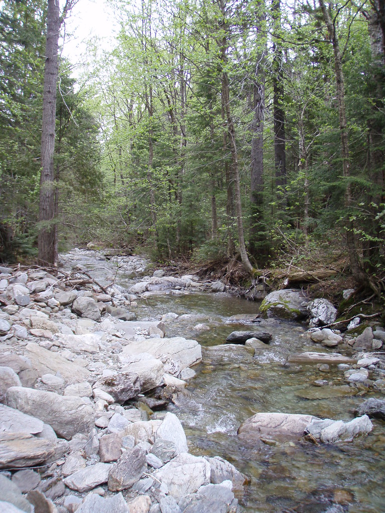 Sentier Des ParoisHikingPhoto: sambouchard418, CC BY-SA 2.0 (via Flickr)2.4 mi
Source: Roamze catalog (indexable pages within 10 miles, PostGIS distance)
- Sentier De La TraverséeHiking · ~1 min drivePhoto: sambouchard418, CC BY-SA 2.0 (via Flickr)
- Sentier Des RavagesHiking · ~2 min drivePhoto: Pierre-Arnaud KOPP from REIGNIER, France, CC BY 2.0 (via Wikimedia Commons)
- Sentier Des PasserellesHiking · ~3 min drivePhoto: sambouchard418, CC BY-SA 2.0 (via Flickr)
- Sentier Des OrignauxHiking · ~13 min drive
- Sentier Du Mont-ChocolatHiking · ~4 min drivePhoto: Pierre-Arnaud KOPP from REIGNIER, France, CC BY 2.0 (via Wikimedia Commons)
- Sentier Des ParoisHiking · ~4 min drivePhoto: sambouchard418, CC BY-SA 2.0 (via Flickr)
 Sentier Des GéantsHiking · ~5 min drivePhoto: Pierre-Arnaud KOPP from REIGNIER, France, CC BY 2.0 (via Wikimedia Commons)
- Sentier De La SlousseHiking · ~5 min drivePhoto: Pierre-Arnaud KOPP from REIGNIER, France, CC BY 2.0 (via Wikimedia Commons)
- Sentier Des DryadesHiking · ~5 min drivePhoto: Pierre-Arnaud KOPP from REIGNIER, France, CC BY 2.0 (via Wikimedia Commons)
- Sentier Des SourcesHiking · ~5 min drivePhoto: Pierre-Arnaud KOPP from REIGNIER, France, CC BY 2.0 (via Wikimedia Commons)

Map and trail data © OpenStreetMap contributors
