Maine · Ski touring
Sentier C
- 1.7 mi
- round trip
- 1,419 ft
- climb
- 2,969 ft
- high point
- Out and back
- route
Sentier C is a ski touring route in Maine, about 23 miles from the town of Daaquam. It is an out-and-back trip of about 3.3 miles, with a total elevation gain of roughly 1,419 feet. The climb is rolling, and the route reaches a high point of about 2,969 feet. The steepest stretch comes at about 0.6 miles in, with a grade of about 35 percent. Sentier C sits among a cluster of routes. Sentier B and Sentier A are each about 0.1 mile away, and the Sentier Du Mont-Chocolat hike is about a mile off. The Sentier Des Dryades hike is about 1.3 miles away.
- Sentier BSki touring0.1 mi
- Sentier ASki touring0.1 mi
 Sentier Du Mont-ChocolatHikingPhoto: Pierre-Arnaud KOPP from REIGNIER, France, CC BY 2.0 (via Wikimedia Commons)1 mi
- Sentier Des DryadesHikingPhoto: Pierre-Arnaud KOPP from REIGNIER, France, CC BY 2.0 (via Wikimedia Commons)1.3 mi
 Sentier Des SourcesHikingPhoto: Pierre-Arnaud KOPP from REIGNIER, France, CC BY 2.0 (via Wikimedia Commons)1.3 mi
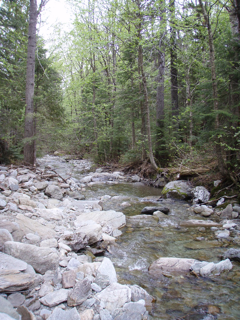 Sentier Des ParoisHikingPhoto: sambouchard418, CC BY-SA 2.0 (via Flickr)1.3 mi
 Sentier Des PasserellesHikingPhoto: sambouchard418, CC BY-SA 2.0 (via Flickr)1.3 mi
- Sentier Des RavagesHikingPhoto: Pierre-Arnaud KOPP from REIGNIER, France, CC BY 2.0 (via Wikimedia Commons)1.6 mi
Source: Roamze catalog (indexable pages within 10 miles, PostGIS distance)
 Parcours de la rivière EtcheminCross-country skiing · ~1h 2m drivePhoto: Gabriel Picard, CC BY-SA 4.0 (via Wikimedia Commons)
- Sentier BSki touring · Next door
- piste Des BravesCross-country skiing · ~1h 4m drive
- 15 Sentier Jean LaroseCross-country skiing · ~1h 5m drive
- 12 L'Arche du BoiséCross-country skiing · ~1h 7m drive
- Sentier ASki touring · ~2 min drive
- Piste RodrigueCross-country skiing · ~1h 6m drive
- 11 La Faux PasCross-country skiing · ~1h 7m drive
- 46 La FondeurCross-country skiing · ~1h 7m drive
- Sentier CSki touring · ~2 min drive
Also worth it near here
- Sentier Du Mont-ChocolatHiking · ~2 min drivePhoto: Pierre-Arnaud KOPP from REIGNIER, France, CC BY 2.0 (via Wikimedia Commons)
 Mont du MidiSummit · ~2 min drivePhoto: Richard Coté, CC BY-SA 4.0 (via Wikimedia Commons)
- Refuge du MilieuHut camping · ~2 min drive
- Secteur des Trois Fourches OuestCamping · ~2 min drive
- Saint-Leon De StandonRock climbing · ~22 min drive
Map and trail data © OpenStreetMap contributors
