Scotlandville Parkway Path
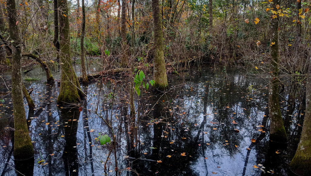
 Photo: ClayJar.com, CC BY 2.0 (via Flickr)
- 5.4 mi
- round trip
- 324 ft
- climb
- 66 ft
- high point
- Out and back
- route
- Oct–Apr
- best months
Clear today
Weather is good · OpenWeather · checked just now
Scotlandville Parkway Path is an easy out-and-back walk of about 10.7 miles along Scotlandville Parkway in Louisiana, on city-managed land. It's a low-lying route, with a high point of about 66 feet and a low of about 40 feet, and it rises only about 20 feet from start to finish, making it a gentle outing for a stroll or a longer walk. Spring and fall are the most comfortable times to go. Typical averages from a nearby weather station in Baton Rouge show October highs around 81°F with lows near 58°F, while July and August highs reach about 92°F with more frequent wet days. Two loops sit about 2.7 miles away: the Intermediate Loop and the Beginner Loop. South Pond Loop and North Pond Loop are each about 4.3 miles off.
 Intermediate LoopHikingPhoto: ClayJar.com, CC BY 2.0 (via Flickr)2.7 mi
- Beginner LoopHikingPhoto: ClayJar.com, CC BY 2.0 (via Flickr)2.7 mi
 South Pond LoopHikingPhoto: jillian.e, CC BY 2.0 (via Flickr)4.3 mi
- North Pond LoopHikingPhoto: jillian.e, CC BY 2.0 (via Flickr)4.3 mi
- Learning Tree TrailHiking7.7 mi
 Old Oak Forest TrailHikingPhoto: ClayJar.com, CC BY 2.0 (via Flickr)9.7 mi
 Poplar-Pine LoopHikingPhoto: ClayJar.com, CC BY 2.0 (via Flickr)9.9 mi
Source: Roamze catalog (indexable pages within 10 miles, PostGIS distance)
- Beginner LoopHiking · ~5 min drivePhoto: ClayJar.com, CC BY 2.0 (via Flickr)
 Semita Trail MajorHiking · ~22 min drivePhoto: ClayJar.com, CC BY 2.0 (via Flickr)
- Intermediate LoopHiking · ~5 min drivePhoto: ClayJar.com, CC BY 2.0 (via Flickr)
 Levee TrailHiking · ~1h 24m drivePhoto: Alexander Hatley, CC BY 2.0 (via Flickr)
- North Pond LoopHiking · ~7 min drivePhoto: jillian.e, CC BY 2.0 (via Flickr)
- Hardwood Forest LoopHiking · ~18 min drive
- South Pond LoopHiking · ~7 min drivePhoto: jillian.e, CC BY 2.0 (via Flickr)
- Bayou Des Ourses ATV TrailHiking · ~53 min drive
 Magnolia Beech TrailHiking · ~13 min drivePhoto: Paul Lowry, CC BY 2.0 (via Flickr)
- Black Swamp TrailHiking · ~13 min drivePhoto: Paul Lowry, CC BY 2.0 (via Flickr)
Best time to visit Scotlandville Parkway Path
Best months: October–April. Best months have typical highs of 55–85 °F, lows of 30 °F or warmer (32 °F where the station doesn't record snow), at most one snowy day and no more than 12 wet days.
Jan
62° / 42°
10 wet
Feb
67° / 45°
9 wet
Mar
73° / 51°
9 wet
Apr
79° / 57°
8 wet
May
86° / 65°
9 wet
Jun
90° / 71°
11 wet
Jul
92° / 74°
13 wet
Aug
92° / 73°
12 wet
Sep
89° / 69°
9 wet
Oct
81° / 58°
7 wet
Nov
71° / 48°
8 wet
Dec
64° / 43°
10 wet
Typical high / low (°F) and days with rain or snow, 1991–2020. Measured at Baton Rouge Ryan Ap, LA, 1.8 mi away at 64 ft. Source: NOAA NCEI U.S. Climate Normals 1991–2020.
Map and trail data © OpenStreetMap contributors
