Bayou Des Ourses ATV Trail
- 6.6 mi
- round trip
- 332 ft
- climb
- 23 ft
- high point
- Out and back
- route
- Oct–Apr
- best months
Clear at last check
Weather is good · OpenWeather · checked 19 h ago
Bayou Des Ourses ATV Trail is a 13.1-mile out-and-back route on the Atchafalaya National Wildlife Refuge in Louisiana, managed by the U.S. Fish and Wildlife Service. The trail is rated moderate, and it is an ATV route, so it is suitable for riding as well as walking. Bikes are allowed. The trail runs between a low point of 14 feet and a high of 23 feet, so it is nearly flat. The steepest stretch comes at about 2.6 miles in, with a 5% grade. The whole trip is about 6.5 miles one way. Spring and fall are the most comfortable times to go. Typical averages from the nearby Grand Coteau weather station show April highs around 79°F and October highs around 81°F, while July and August average about 92°F. Nearby, the Handicap ATV Trail is about 3.3 miles away and the Johnson Bayou Walking Trail is about 4 miles away. Paddlers can reach Big Bayou De Grasse, about 7.7 miles off, and Bayou Courtableau, about 8 miles away.
Local outfitters
- Pack & Paddle25 mi away
Not on Roamze yet. Their page has how to reach them.
- Handicap ATV TrailHiking3.3 mi
- Johnson Bayou Walking TrailHiking4 mi
- Parish Line Walking TrailHiking4.4 mi
- Big Bayou De GrasseCanoeing7.7 mi
- Bayou CourtableauCanoeing8 mi
- Bayou BrownCanoeing8.4 mi
- Adams BayouCanoeing8.6 mi
- Bristow BayouCanoeing9.5 mi
Source: Roamze catalog (indexable pages within 10 miles, PostGIS distance)
 Levee TrailHiking · ~36 min drivePhoto: Alexander Hatley, CC BY 2.0 (via Flickr)
 Scotlandville Parkway PathHiking · ~53 min drivePhoto: ClayJar.com, CC BY 2.0 (via Flickr)
 Semita Trail MajorHiking · ~1h 3m drivePhoto: ClayJar.com, CC BY 2.0 (via Flickr)
 Intermediate LoopHiking · ~57 min drivePhoto: ClayJar.com, CC BY 2.0 (via Flickr)
- Hardwood Forest LoopHiking · ~1h 11m drive
- Beginner LoopHiking · ~57 min drivePhoto: ClayJar.com, CC BY 2.0 (via Flickr)
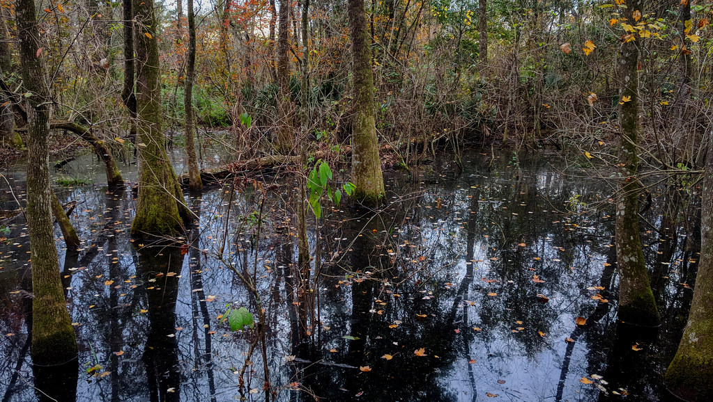 Magnolia Beech TrailHiking · ~58 min drivePhoto: Paul Lowry, CC BY 2.0 (via Flickr)
- Black Swamp TrailHiking · ~58 min drivePhoto: Paul Lowry, CC BY 2.0 (via Flickr)
 South Pond LoopHiking · ~1h 1m drivePhoto: jillian.e, CC BY 2.0 (via Flickr)
- North Pond LoopHiking · ~1h 1m drivePhoto: jillian.e, CC BY 2.0 (via Flickr)
Best time to visit Bayou Des Ourses ATV Trail
Best months: October–April. Best months have typical highs of 55–85 °F, lows of 30 °F or warmer (32 °F where the station doesn't record snow), at most one snowy day and no more than 12 wet days.
Jan
63° / 41°
9 wet
Feb
67° / 45°
8 wet
Mar
74° / 51°
8 wet
Apr
79° / 57°
7 wet
May
86° / 64°
9 wet
Jun
90° / 70°
10 wet
Jul
92° / 73°
10 wet
Aug
92° / 72°
11 wet
Sep
88° / 68°
10 wet
Oct
81° / 58°
8 wet
Nov
71° / 48°
9 wet
Dec
65° / 43°
10 wet
Typical high / low (°F) and days with rain or snow, 1991–2020. Measured at Grand Coteau, LA, 22.3 mi away at 55 ft. This station doesn't record snowfall. Source: NOAA NCEI U.S. Climate Normals 1991–2020.
