Levee Trail
 Photo: Alexander Hatley, CC BY 2.0 (via Flickr)
- 2.7 mi
- round trip
- 278 ft
- climb
- 14 ft
- high point
- Out and back
- route
- Oct–Apr
- best months
Levee Trail is a 5.4-mile out-and-back hike on Cypress Island in Louisiana, managed by a non-governmental organization. The route is rated moderate, and it runs flat for the most part, with a high point of 14 feet and a low of 5 feet. The steepest stretch comes at about 1.6 miles in, with a grade of 5 percent. Spring and fall are the most comfortable times to go. Typical averages from a nearby weather station in Lafayette show April highs around 79°F and October highs around 81°F, while July and August average in the low 90s with the most wet days of the year. For more time outdoors, Bayou Teche offers river fishing about 9 miles away.
Local outfitters
- Pack & Paddle5 mi away
Not on Roamze yet. Their page has how to reach them.
Source: Roamze catalog (indexable pages within 10 miles, PostGIS distance)
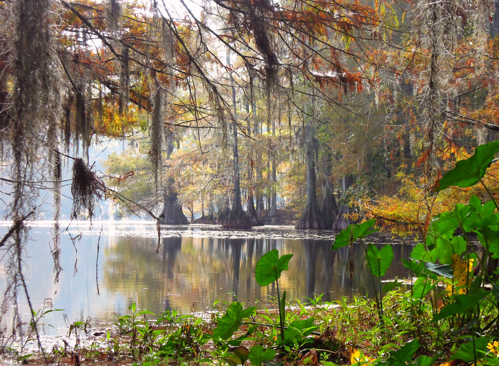 East Landing to South Landing TrailHiking · ~1h 13m drivePhoto: jillian.e, CC BY 2.0 (via Flickr)
- Bayou Des Ourses ATV TrailHiking · ~36 min drive
- East Landing to South Landing TrailHiking · ~1h 13m drivePhoto: jillian.e, CC BY 2.0 (via Flickr)
- East Landing to South Landing TrailHiking · ~1h 14m drivePhoto: jillian.e, CC BY 2.0 (via Flickr)
 East Landing to South Landing TrailHiking · ~1h 15m drivePhoto: Editor B, CC BY 2.0 (via Flickr)
 Scotlandville Parkway PathHiking · ~1h 24m drivePhoto: ClayJar.com, CC BY 2.0 (via Flickr)
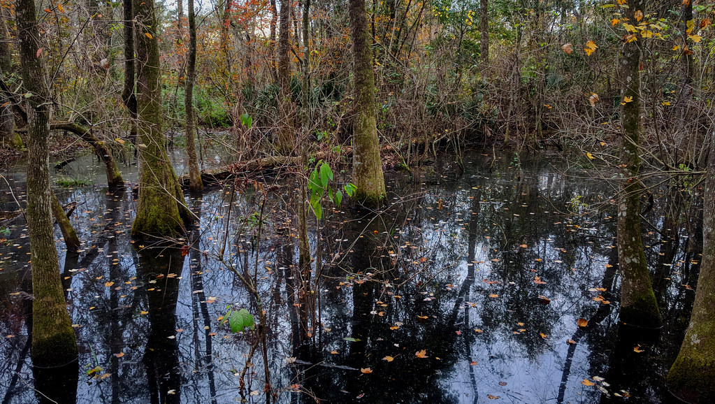 Magnolia Beech TrailHiking · ~1h 25m drivePhoto: Paul Lowry, CC BY 2.0 (via Flickr)
- Black Swamp TrailHiking · ~1h 25m drivePhoto: Paul Lowry, CC BY 2.0 (via Flickr)
- Little Alabama TrailHiking · ~33 min drive
- Section 120 Walking TrailHiking · ~36 min drive
Best time to visit Levee Trail
Best months: October–April. Best months have typical highs of 55–85 °F, lows of 30 °F or warmer (32 °F where the station doesn't record snow), at most one snowy day and no more than 12 wet days.
Jan
62° / 44°
10 wet
Feb
66° / 47°
9 wet
Mar
73° / 53°
9 wet
Apr
79° / 59°
8 wet
May
86° / 67°
9 wet
Jun
90° / 73°
12 wet
Jul
91° / 75°
14 wet
Aug
92° / 75°
12 wet
Sep
89° / 70°
10 wet
Oct
81° / 60°
8 wet
Nov
71° / 50°
8 wet
Dec
64° / 45°
10 wet
Typical high / low (°F) and days with rain or snow, 1991–2020. Measured at Lafayette Rgnl Ap, LA, 4.7 mi away at 38 ft. This station doesn't record snowfall. Source: NOAA NCEI U.S. Climate Normals 1991–2020.
Map and trail data © OpenStreetMap contributors
