East Landing to South Landing Trail
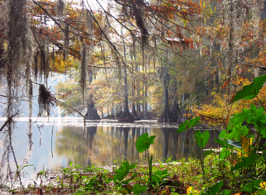 Photo: jillian.e, CC BY 2.0 (via Flickr)
- 0.9 mi
- round trip
- 99 ft
- climb
- 78 ft
- high point
- Out and back
- route
- Oct–May
- best months
East Landing to South Landing Trail is an easy, short hike in Chicot State Park District II, about 15 miles from the town of Bunkie in southern Louisiana. It is a 1.8-mile out-and-back route that gains about 100 feet in elevation, with the highest point at 78 feet and the lowest at 43 feet. The trail is managed by State Park and Recreation. Spring and fall are the most comfortable times to go. Typical averages from a nearby weather station in Bunkie show April highs around 79°F and October highs around 81°F, while July and August average highs near 93°F. The trip takes about half an hour, and the trail is short enough to fit into a day spent exploring the park.
Local outfitters
- Pack & Paddle41 mi away
Not on Roamze yet. Their page has how to reach them.
- East Landing to South Landing TrailHiking · ~2 min drivePhoto: jillian.e, CC BY 2.0 (via Flickr)
 Levee TrailHiking · ~1h 13m drivePhoto: Alexander Hatley, CC BY 2.0 (via Flickr)
- Wild AzaleaHiking · ~1h 4m drive
- East Landing to South Landing TrailHiking · ~3 min drivePhoto: jillian.e, CC BY 2.0 (via Flickr)
- Lamotte CreekHiking · ~1h 8m drive
- LakeshoreHiking · ~1h 9m drive
 East Landing to South Landing TrailHiking · ~3 min drivePhoto: Editor B, CC BY 2.0 (via Flickr)
- Bayou Des Ourses ATV TrailHiking · ~1h 12m drive
- East Landing to South Landing TrailHiking · ~3 min drive
- KincaidHiking · ~1h 9m drive
Best time to visit East Landing to South Landing Trail
Best months: October–May. Best months have typical highs of 55–85 °F, lows of 30 °F or warmer (32 °F where the station doesn't record snow), at most one snowy day and no more than 12 wet days.
Jan
60° / 39°
10 wet
Feb
64° / 43°
9 wet
Mar
72° / 49°
9 wet
Apr
79° / 56°
7 wet
May
85° / 64°
8 wet
Jun
91° / 70°
10 wet
Jul
93° / 73°
10 wet
Aug
93° / 72°
9 wet
Sep
89° / 66°
7 wet
Oct
81° / 56°
7 wet
Nov
70° / 46°
8 wet
Dec
62° / 41°
10 wet
Typical high / low (°F) and days with rain or snow, 1991–2020. Measured at Bunkie, LA, 15.1 mi away at 80 ft. Source: NOAA NCEI U.S. Climate Normals 1991–2020.

Map and trail data © OpenStreetMap contributors
