Shingle Mill Hollow Loop Trail
- 1.6 mi
- loop
- 386 ft
- climb
- 926 ft
- high point
- Loop
- route
- Aug–Nov
- best months
Shingle Mill Hollow Loop Trail is a 1.6-mile loop in Jesse Stuart State Nature Preserve in Kentucky, managed by the State Department of Conservation. The trail is rated easy, with a total elevation gain of 386 feet and a high point of 926 feet. It starts and ends at about 764 feet, and the climb is rolling, with the steepest stretch at about 1.4 miles in, where the grade reaches 15 percent. Spring and fall are the most comfortable times to go. Typical averages from a nearby weather station show October highs around 69°F with lows near 42°F, and May highs around 76°F. July is the warmest month, with highs near 86°F. The trip takes about half an hour. The trail is a short loop, so plan on a quick outing. Within about five miles are Carpenters Run Horse Trail, Fern Valley Nature Trail and Michael Tygart Trail. Hanging Rock Trail, across the line in Ohio, is about 7 miles away.
- Carpenters Run Horse TrailHiking4.4 mi
- Fern Valley Nature trailHiking4.8 mi
- Michael Tygart TrailHiking4.9 mi
- Claylick Loop Mountain Bike TrailHiking4.9 mi
 Hanging Rock TrailHikingPhoto: Wayne National Forest, Public Domain Mark (via Flickr)6.8 mi
- HANGING ROCK LOOPHiking6.8 mi
- GAS WELL LOOPHiking6.8 mi
 Lakeview TrailHikingPhoto: Wayne National Forest, Public Domain Mark (via Flickr)7.1 mi
Source: Roamze catalog (indexable pages within 10 miles, PostGIS distance)
- Hanging Rock TrailHiking · ~12 min drivePhoto: Wayne National Forest, Public Domain Mark (via Flickr)
- Lakeview TrailHiking · ~12 min drivePhoto: Wayne National Forest, Public Domain Mark (via Flickr)
- Copperhead TrailHiking · ~12 min drivePhoto: Wayne National Forest, Public Domain Mark (via Flickr)
- Michael Tygart TrailHiking · ~8 min drive
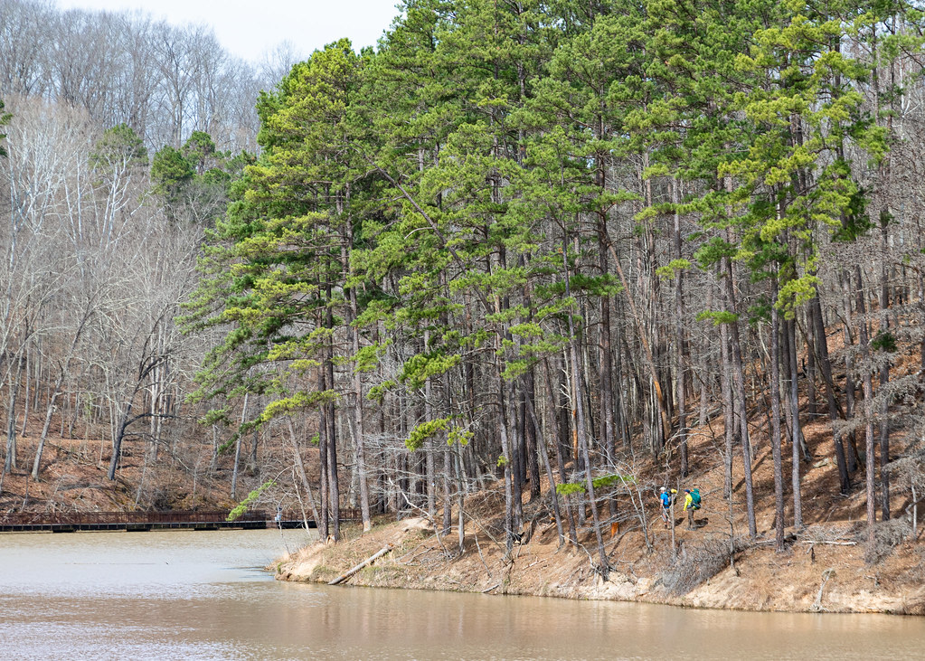 Lake ShoreHiking · ~21 min drivePhoto: Wayne National Forest, Public Domain Mark (via Flickr)
- Sawmill TrailHiking · ~12 min drivePhoto: Wayne National Forest, Public Domain Mark (via Flickr)
- Power Line TrailHiking · ~12 min drivePhoto: Wayne National Forest, Public Domain Mark (via Flickr)
 Vesuvius Main LoopHiking · ~23 min drivePhoto: Wayne National Forest, Public Domain Mark (via Flickr)
 Balancing RockHiking · ~21 min drivePhoto: Wayne National Forest, Public Domain Mark (via Flickr)
 Wolcot TrailHiking · ~27 min drivePhoto: Wayne National Forest, Public Domain Mark (via Flickr)
Best time to visit Shingle Mill Hollow Loop Trail
Best months: August–November. Best months have typical highs of 55–85 °F, lows of 30 °F or warmer (32 °F where the station doesn't record snow), at most one snowy day and no more than 12 wet days.
Jan
42° / 24°
14 wet
Feb
46° / 26°
13 wet
Mar
56° / 32°
14 wet
Apr
69° / 41°
14 wet
May
76° / 50°
14 wet
Jun
82° / 59°
13 wet
Jul
86° / 63°
14 wet
Aug
85° / 61°
12 wet
Sep
80° / 55°
10 wet
Oct
69° / 42°
11 wet
Nov
57° / 32°
12 wet
Dec
47° / 28°
14 wet
Typical high / low (°F) and days with rain or snow, 1991–2020. Measured at Warnock 2, KY, 10.2 mi away at 910 ft. This station doesn't record snowfall. Source: NOAA NCEI U.S. Climate Normals 1991–2020.
Map and trail data © OpenStreetMap contributors
